Fort Wilderness RV Park and Campground
Campground
Campground · 6.8 mi from the trail
Closure in the area
There's a closure order in National Forests in North Carolina. It doesn't name Dillsboro Launch Park Put-in, so check the source for the area it covers (2 listed).
Maple Sally Road Closure
Agency closure covering National Forests in North Carolina · USFS · National Forests in North Carolina
Table Rock Road construction starts Nov. 2, 2026
Agency closure covering National Forests in North Carolina · USFS · National Forests in North Carolina
Pisgah National Forest Begins Removing Hazardous Fuel Left by Helene via Helicopters
Agency alert covering National Forests in North Carolina · USFS · National Forests in North Carolina
Temporary Closure - The Elk Falls Trail
Agency alert covering National Forests in North Carolina · USFS · National Forests in North Carolina
Rainbow Springs Road closed for reconstruction
Agency alert covering National Forests in North Carolina · USFS · National Forests in North Carolina
As of · Source: USFS · National Forests in North Carolina. Agencies don't list every closure — check before you go.
Dillsboro Launch Park Put-in is a boat launch in the Nantahala Ranger District of the National Forests in North Carolina, about 0.2 miles from the town of Dillsboro. It is a put-in point for getting a boat onto the water in this corner of the Nantahala. For paddlers, the launch makes a convenient starting point. The most comfortable stretch for time on the water runs from late spring into early fall. Typical averages from a nearby weather station in Cullowhee show May highs around 77°F and September highs near 79°F, with October bringing highs around 70°F and the fewest wet days of the year. Several other spots lie within a short drive. Savannah Creek and Scott Creek, both canoeing routes, are each about 5 miles away. Hikers can head to Gribble Gap Loop or the West Fork Trail, both roughly 5 miles off.
Fort Wilderness RV Park and Campground
Campground
The Well House
Restaurant
Sunset Rock
Viewpoint
Cliff in Macon County, North Carolina, United States
Places © OpenStreetMap contributors
More in Highlands West Fork TrailHikingPhoto: w_lemay, Public Domain Dedication (CC0) (via Flickr)5.1 mi
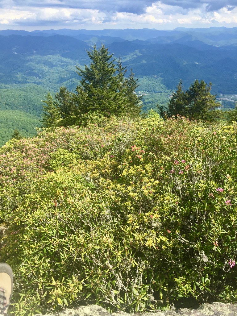 Pinnacle TrailHikingPhoto: w_lemay, Public Domain Dedication (CC0) (via Flickr)5.2 miEast Fork TrailHikingPhoto: w_lemay, Public Domain Dedication (CC0) (via Flickr)6.2 mi
Source: Roamze catalog (indexable pages within 10 miles, PostGIS distance)
 Pigeon RiverCanoeing · ~39 min drivePhoto: ChristopherM, CC BY-SA 3.0 (via Wikimedia Commons)
Also worth it near here
West Fork TrailHiking · ~9 min drivePhoto: w_lemay, Public Domain Dedication (CC0) (via Flickr) Mount Lyn LowrySummit · ~18 min drivePhoto: Thomson200, CC0 (via Wikimedia Commons)
 Mingo FallsWaterfall · ~20 min drivePhoto: Kaldari, Public domain (via Wikimedia Commons)
Best months: March–May and September–November. Best months have typical highs of 55–85 °F, lows of 30 °F or warmer (32 °F where the station doesn't record snow), at most one snowy day and no more than 12 wet days.
Jan
49° / 26°
11 wet
Feb
53° / 28°
11 wet
Mar
61° / 34°
12 wet
Apr
70° / 42°
11 wet
May
77° / 51°
12 wet
Jun
82° / 59°
13 wet
Jul
85° / 63°
14 wet
Aug
84° / 62°
13 wet
Sep
79° / 56°
9 wet
Oct
70° / 44°
8 wet
Nov
60° / 33°
9 wet
Dec
51° / 29°
11 wet
Typical high / low (°F) and days with rain or snow, 1991–2020. Measured at Cullowhee, NC, 5.8 mi away at 2,192 ft. This station doesn't record snowfall. Source: NOAA NCEI U.S. Climate Normals 1991–2020.
Map and trail data © OpenStreetMap contributors
