Mingo Falls
 Photo: Kaldari, Public domain (via Wikimedia Commons)
- 2,606 ft
- elevation
- Mar–Jun, Aug–Nov
- best months
Mingo Falls is a waterfall in North Carolina, sitting at about 2,600 feet in the mountains east of Cherokee, roughly 3.5 miles from that town. For comfortable weather, aim for late spring or early fall. Typical averages from a nearby weather station in Cherokee show May highs around 75°F and October highs near 69°F, with September and October seeing the fewest wet days of the year. That station sits several hundred feet lower, so temperatures at the falls run a bit cooler. Several trails and camps lie close by. The Mountains-to-Sea Trail passes about a mile away, and Tow String Horse Camp is about 1.3 miles off. Mingus Creek Trail and Smokemont Loop Trail are each within about 2.7 miles, and Smokemont Campground is about 3.2 miles away.
- Elevation
- 2,606 ft
Elevation from USGS 3D Elevation Program terrain data (about 10 m resolution).
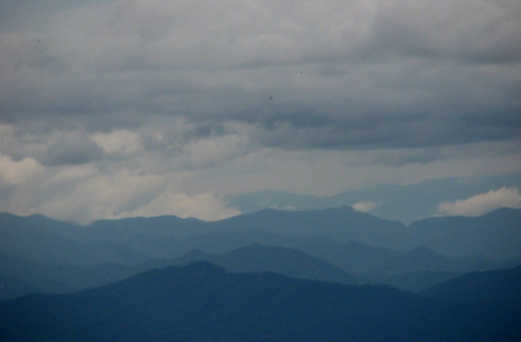 Mountains-to-Sea TrailHikingPhoto: bobistraveling, CC BY 2.0 (via Flickr)1 mi
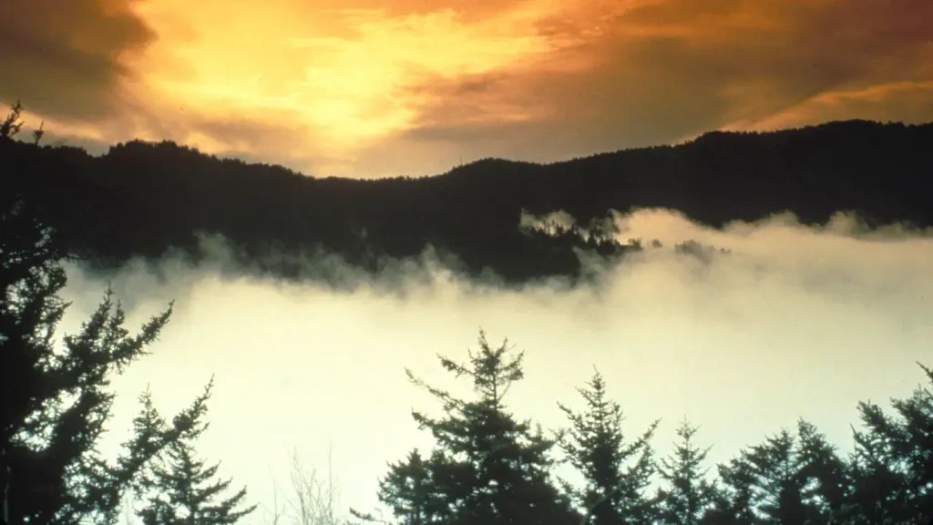 Tow String Horse CampCampingPhoto: Recreation.gov (RIDB) / public domain1.3 mi
- Mingus Creek TrailHiking2.1 mi
- Smokemont Loop TrailHiking2.7 mi
- Oconaluftee River TrailHiking2.8 mi
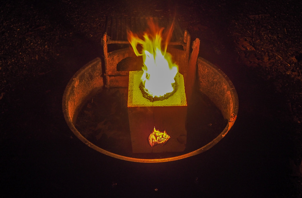 Smokemont CampgroundCampingPhoto: pmuellr — CC BY 2.0 (via Flickr)3.2 mi
- Bunches CreekCanoeing3.7 mi
 Balsam Mountain CampgroundCampingPhoto: Recreation.gov (RIDB) / public domain6.1 mi
Source: Roamze catalog (indexable pages within 10 miles, PostGIS distance)
 Courthouse FallsWaterfall · ~48 min drivePhoto: Jrichar3, CC BY 3.0 (via Wikimedia Commons)
 Bridal Veil FallsWaterfall · ~55 min drivePhoto: Washuotaku, CC BY-SA 4.0 (via Wikimedia Commons)
 Dry FallsWaterfall · ~55 min drivePhoto: Zhans33, CC BY-SA 3.0 (via Wikimedia Commons)
 Looking Glass FallsWaterfall · ~56 min drivePhoto: Ze Blitzkrieg, CC BY-SA 3.0 (via Wikimedia Commons)
 Cullasaja FallsWaterfall · ~49 min drivePhoto: Sdrtm at English Wikipedia, CC BY-SA 3.0 (via Wikimedia Commons)
 Slick Rock FallsWaterfall · ~54 min drivePhoto: 5minutes at English Wikipedia, CC BY 2.5 (via Wikimedia Commons)
- Little Creek FallsWaterfall · ~10 min drive
- Flat Creek FallsWaterfall · ~10 min drive
- Soco FallsWaterfall · ~11 min drive
- Ramsey CascadesWaterfall · ~21 min drive
Best time to visit Mingo Falls
Best months: March–June and August–November. Best months have typical highs of 55–85 °F, lows of 30 °F or warmer (32 °F where the station doesn't record snow), at most one snowy day and no more than 12 wet days.
Jan
46° / 26°
11 wet
Feb
51° / 29°
11 wet
Mar
59° / 34°
12 wet
Apr
68° / 42°
11 wet
May
75° / 51°
12 wet
Jun
80° / 59°
12 wet
Jul
83° / 63°
14 wet
Aug
82° / 61°
12 wet
Sep
78° / 55°
9 wet
Oct
69° / 43°
9 wet
Nov
58° / 33°
9 wet
Dec
49° / 29°
11 wet
Typical high / low (°F) and days with rain or snow, 1991–2020. Measured at Cherokee, NC, 3.6 mi away at 1,965 ft. The station sits about 600 ft lower than this place, so expect it a little cooler here. This station doesn't record snowfall. Source: NOAA NCEI U.S. Climate Normals 1991–2020.
