West Fork Trail
 Photo: w_lemay, Public Domain Dedication (CC0) (via Flickr)
- 2.6 mi
- round trip
- 2,937 ft
- climb
- 5,039 ft
- high point
- Out and back
- route
- Sep–Oct
- best months
Is West Fork Trail open right now?
Closure in the area
There's a closure order in National Forests in North Carolina. It doesn't name West Fork Trail, so check the source for the area it covers (2 listed).
Maple Sally Road Closure
Agency closure covering National Forests in North Carolina · USFS · National Forests in North Carolina
Table Rock Road construction starts Nov. 2, 2026
Agency closure covering National Forests in North Carolina · USFS · National Forests in North Carolina
Temporary Closure - The Elk Falls Trail
Agency alert covering National Forests in North Carolina · USFS · National Forests in North Carolina
Rainbow Springs Road closed for reconstruction
Agency alert covering National Forests in North Carolina · USFS · National Forests in North Carolina
Siddie Fields Day Use Area closed for improvements
Agency alert covering National Forests in North Carolina · USFS · National Forests in North Carolina
As of · Source: USFS · National Forests in North Carolina. Agencies don't list every closure — check before you go.
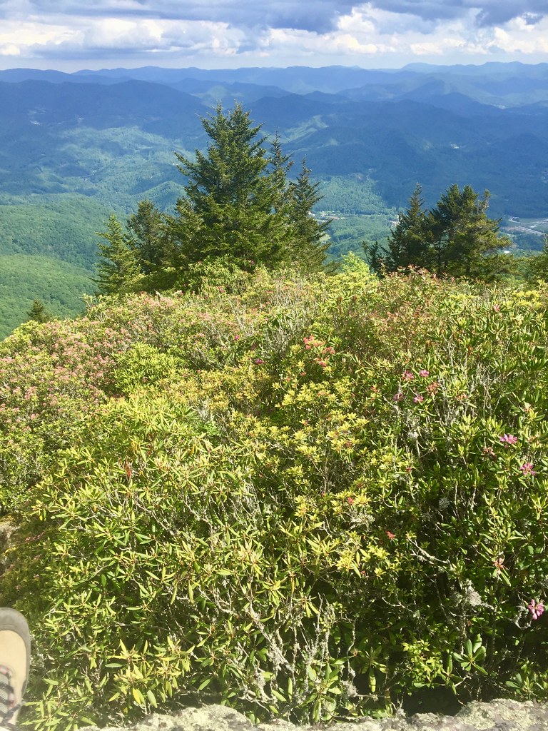
West Fork Trail is a hard hike in North Carolina's Nantahala Ranger District, part of the National Forests in North Carolina. The route starts at about 3,116 feet and climbs to 5,039 feet on a 5.2-mile out-and-back with a total gain of 2,937 feet. The climb is front-loaded, and the steepest stretch comes at about 0.97 miles, with a grade of 31 percent. Summer is the most comfortable time to go. Typical averages from the Newfound Gap weather station, about 18.6 miles away and at a similar elevation, show July highs around 74°F and lows near 57°F, while winter highs stay in the upper 30s. Pinnacle Trail lies about 0.7 miles away and East Fork Trail about 1.1 miles. Waterrock Knob Trail is roughly 4 miles off, and Scott Creek offers canoeing about 2.1 miles away.
Local outfitters
- Panther Creek Outfitters Horseback Rides20 mi away
- Headwaters Outfitters28 mi away
Not on Roamze yet. Their page has how to reach them.
 Pinnacle TrailHikingPhoto: w_lemay, Public Domain Dedication (CC0) (via Flickr)0.7 mi
- East Fork TrailHikingPhoto: w_lemay, Public Domain Dedication (CC0) (via Flickr)1.1 mi
- Scott CreekCanoeing2.1 mi
 Mountains-to-Sea TrailHikingPhoto: pseabolt, CC BY 3.0 (via Wikimedia Commons)3.9 mi
 Waterrock Knob TrailHikingPhoto: pseabolt, CC BY 3.0 (via Wikimedia Commons)4 mi
- Bunches CreekCanoeing8.4 mi
- Savannah CreekCanoeing9.4 mi
 Balsam Mountain CampgroundCampingPhoto: Recreation.gov (RIDB) / public domain9.9 mi
Source: Roamze catalog (indexable pages within 10 miles, PostGIS distance)
- Pinnacle TrailHiking · ~1 min drivePhoto: w_lemay, Public Domain Dedication (CC0) (via Flickr)
- East Fork TrailHiking · ~2 min drivePhoto: w_lemay, Public Domain Dedication (CC0) (via Flickr)
 Browning Knob TrailHiking · ~7 min drivePhoto: pseabolt, CC BY 3.0 (via Wikimedia Commons)
 Mountains-to-Sea TrailHiking · ~9 min drivePhoto: Dallas Epperson, CC BY-SA 3.0 (via Wikimedia Commons)
- Waterrock Knob TrailHiking · ~7 min drivePhoto: pseabolt, CC BY 3.0 (via Wikimedia Commons)
- WAYEHUTTA LOOPHiking · ~11 min drive
- Lyn Lowry TrailHiking · ~7 min drivePhoto: pseabolt, CC BY 3.0 (via Wikimedia Commons)
 Mountains-to-Sea TrailHiking · ~13 min drivePhoto: 5chw4r7z, CC BY-SA 2.0 (via Flickr)
 Mountains-to-Sea TrailHiking · ~8 min drivePhoto: Aaron Morgan, CC BY-SA 3.0 (via Wikimedia Commons)
- Locust Gap TrailHiking · ~12 min drive
Best time to visit West Fork Trail
Best months: September–October. Best months have typical highs of 55–85 °F, lows of 30 °F or warmer (32 °F where the station doesn't record snow), at most one snowy day and no more than 12 wet days.
Jan
39° / 22°
13 wet
Feb
42° / 25°
12 wet
Mar
49° / 30°
13 wet
Apr
58° / 38°
13 wet
May
66° / 47°
15 wet
Jun
71° / 54°
16 wet
Jul
74° / 57°
16 wet
Aug
72° / 56°
14 wet
Sep
68° / 51°
11 wet
Oct
59° / 41°
10 wet
Nov
50° / 32°
10 wet
Dec
43° / 27°
12 wet
Typical high / low (°F) and days with rain or snow, 1991–2020. Measured at Newfound Gap, TN, 18.6 mi away at 5,040 ft. This station doesn't record snowfall. Source: NOAA NCEI U.S. Climate Normals 1991–2020.

Map and trail data © OpenStreetMap contributors
