Avery Creek Roadside Campsites
Campground
Campground · 3.6 mi from the trail
Closure in the area
There's a closure order in National Forests in North Carolina. It doesn't name Turkey Pen Gap Trail, so check the source for the area it covers (2 listed).
Maple Sally Road Closure
Agency closure covering National Forests in North Carolina · USFS · National Forests in North Carolina
Table Rock Road construction starts Nov. 2, 2026
Agency closure covering National Forests in North Carolina · USFS · National Forests in North Carolina
Temporary Closure - The Elk Falls Trail
Agency alert covering National Forests in North Carolina · USFS · National Forests in North Carolina
Rainbow Springs Road closed for reconstruction
Agency alert covering National Forests in North Carolina · USFS · National Forests in North Carolina
Siddie Fields Day Use Area closed for improvements
Agency alert covering National Forests in North Carolina · USFS · National Forests in North Carolina
As of · Source: USFS · National Forests in North Carolina. Agencies don't list every closure — check before you go.
Turkey Pen Gap Trail is an out-and-back hike of about 10.7 miles in the Pisgah Ranger District of the National Forests in North Carolina, with the trail's low point at 2,714 feet and its high point at 4,115 feet. The route rises steadily to the top, where it turns around and returns the same way. The total elevation gain is 3,097 feet, and the steepest stretch comes at about 1.2 miles from the start, with a grade of 48 percent. The trail is rated hard. The trip takes about five hours. Plan for a long day with plenty of time for the climb and the descent, which mirror each other in both gain and loss. Several other outings sit close by. Wagon Road Gap and Poundingmill are both under a mile away, Ship Rock offers climbing about 1.6 miles off, and the South Fork Mills River, a canoeing route, is about 2.8 miles away.
Avery Creek Roadside Campsites
Campground
 If it rainsMx. Granger, CC0 · Wikimedia Commons
Places © OpenStreetMap contributors · Photos: Mx. Granger, CC0 (commons)
More in HendersonvilleNot on Roamze yet. Their page has how to reach them.
Daily highs and lows, wind and the chance of precipitation at the summit and route start for the next 7 days, from the Open-Meteo model.
 Hendersonville Reservoir Rd Roadside CampsitesCampingPhoto: w_lemay, CC BY-SA 2.0 (via Wikimedia Commons)6.9 mi
Source: Roamze catalog (indexable pages within 10 miles, PostGIS distance)
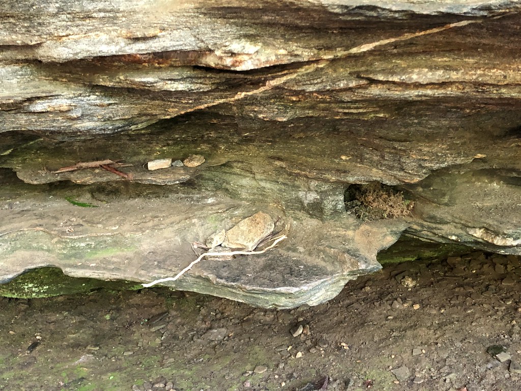 Ashton's TrailHiking · ~2 min drivePhoto: mebrett, CC BY 2.0 (via Flickr)
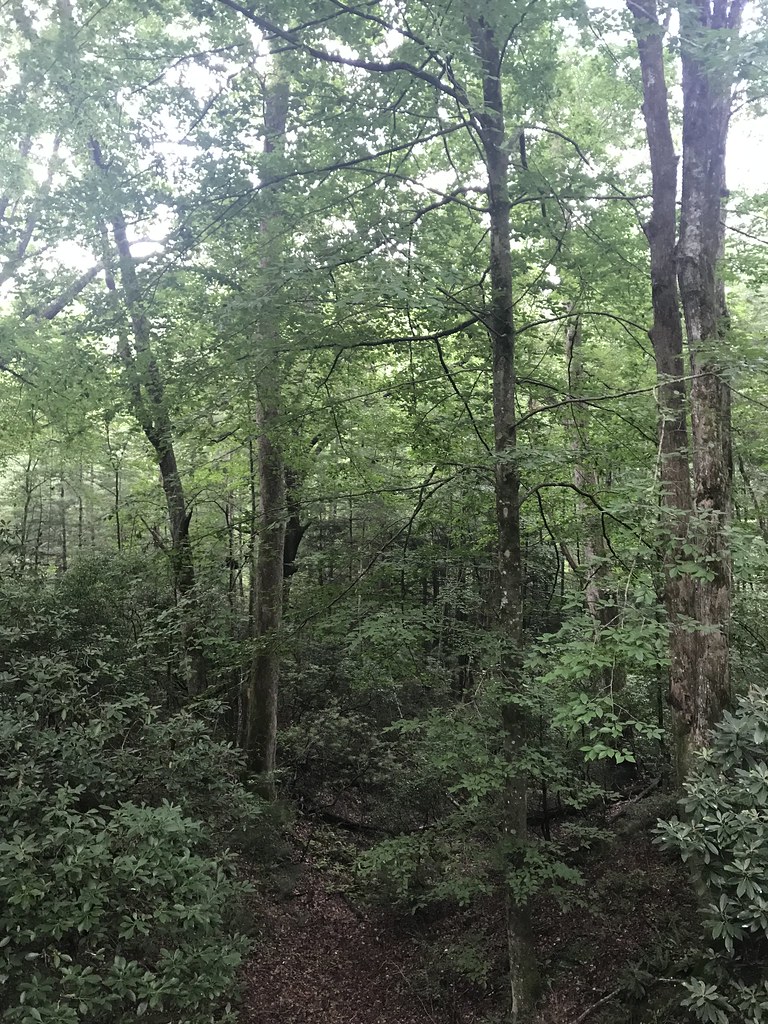 Thrift Cove TrailHiking · ~6 min drivePhoto: HopeHill, CC BY 2.0 (via Flickr)
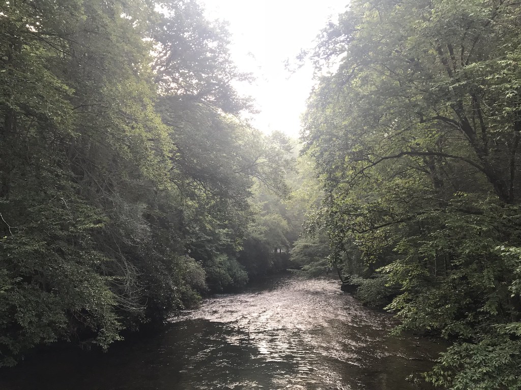 Sycamore CoveHiking · ~6 min drivePhoto: HopeHill, CC BY 2.0 (via Flickr)Yuto's TrailHiking · ~3 min drivePhoto: mebrett, CC BY 2.0 (via Flickr)
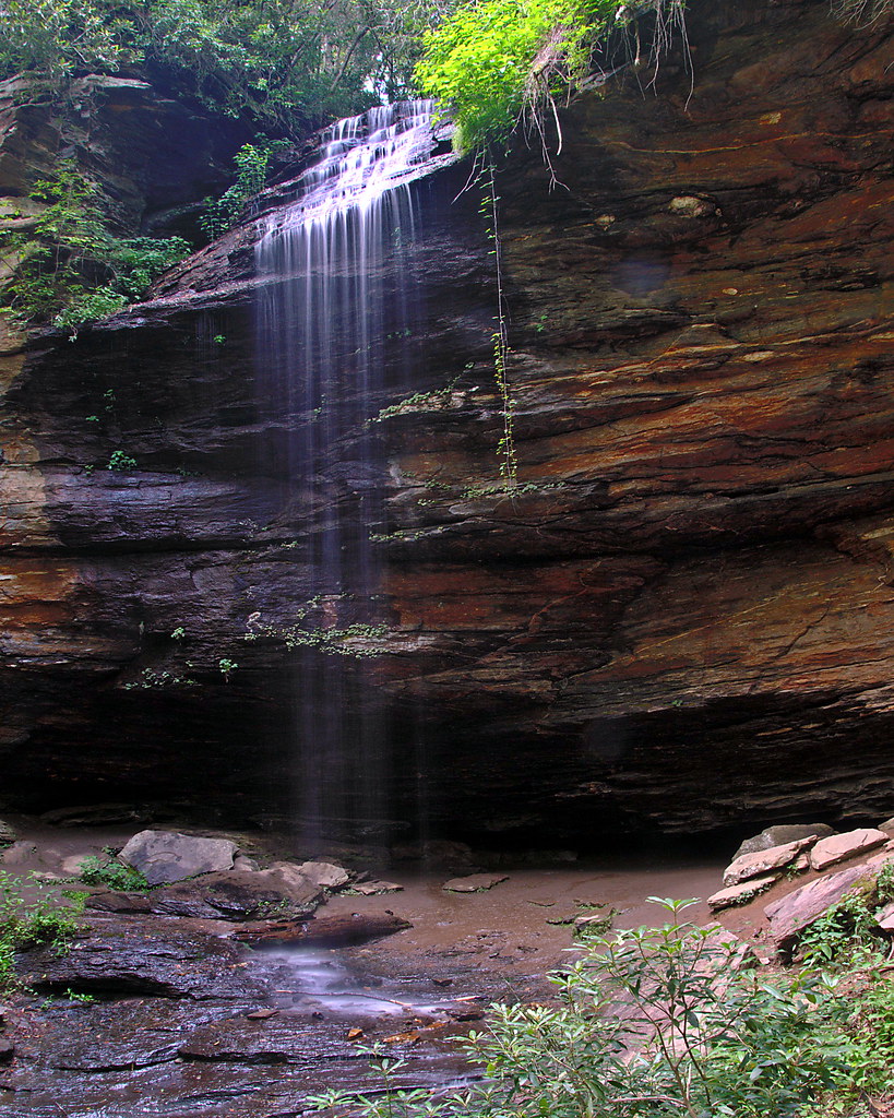 Coontree LoopHiking · ~7 min drivePhoto: rharrison, CC BY-SA 2.0 (via Flickr)North Slope LoopHiking · ~7 min drivePhoto: HopeHill, CC BY 2.0 (via Flickr)Exercise TrailHiking · ~6 min drivePhoto: HopeHill, CC BY 2.0 (via Flickr)Perry CoveHiking · ~7 min drivePhoto: rharrison, CC BY-SA 2.0 (via Flickr)EstatoeHiking · ~7 min drivePhoto: HopeHill, CC BY 2.0 (via Flickr)
About 5.4 mi round trip.
About 3,097 ft of climbing round trip.
It is rated hard.
About 3 hours round trip.
Map and trail data © OpenStreetMap contributors

