Shinbone
- 3.3 mi
- round trip
- 1,375 ft
- climb
- 5,016 ft
- high point
- Out and back
- route
Is Shinbone open right now?
Closure in the area
There's a closure order in National Forests in North Carolina. It doesn't name Shinbone, so check the source for the area it covers (2 listed).
Maple Sally Road Closure
Agency closure covering National Forests in North Carolina · USFS · National Forests in North Carolina
Table Rock Road construction starts Nov. 2, 2026
Agency closure covering National Forests in North Carolina · USFS · National Forests in North Carolina
Temporary Closure - The Elk Falls Trail
Agency alert covering National Forests in North Carolina · USFS · National Forests in North Carolina
Rainbow Springs Road closed for reconstruction
Agency alert covering National Forests in North Carolina · USFS · National Forests in North Carolina
Siddie Fields Day Use Area closed for improvements
Agency alert covering National Forests in North Carolina · USFS · National Forests in North Carolina
As of · Source: USFS · National Forests in North Carolina. Agencies don't list every closure — check before you go.
Shinbone is a moderate out-and-back hike of about 3.3 miles on natural surface in the Tusquittee Ranger District of the National Forests in North Carolina. The trail rises about 1,190 feet, with a total climb of roughly 1,375 feet over the course of the trip. The high point sits at about 5,016 feet, and the steepest stretch comes at about 0.64 miles in, with a grade of about 33 percent. The route is front-loaded, so the hardest climbing is at the beginning. The Forest Service manages the land, and the trail is open year-round. The trip is estimated to take about two hours. The Sasafrass hike lies just 0.1 mile away, and Far Bald Springs is about half a mile off. The Rim Trail is roughly 1.6 miles away, and paddlers can reach Fires Creek at about 3.4 miles.
Local outfitters
- Wildwater White Water Rafting & Zipline Canopy Tours38 mi away
- GSM Outfitters41 mi away
Not on Roamze yet. Their page has how to reach them.
- SasafrassHiking0.1 mi
- Far Bald SpringsHiking0.5 mi
- Rim TrailHiking1.6 mi
- Fires CreekCanoeing3.4 mi
- Valley RiverCanoeing5 mi
- Nantahala Lake Dispersed Camping Site - Lake AccesCamping5.4 mi
- Nantahala National ForestRiver fishing7.3 mi
 Jackrabbit Mountain CampgroundCampingPhoto: Miles Buddy, CC BY-SA 3.0 (via Wikimedia Commons)9.1 mi
Source: Roamze catalog (indexable pages within 10 miles, PostGIS distance)
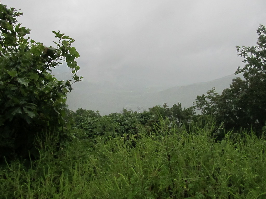 Chunky Gal TrailHiking · ~15 min drivePhoto: Ken Lund, CC BY-SA 2.0 (via Flickr)
- Far Bald SpringsHiking · Next door
- Rim TrailHiking · ~3 min drive
- RIM TRAILHiking · ~11 min drive
- Jackrabbit Mountain ConnectorHiking · ~16 min drive
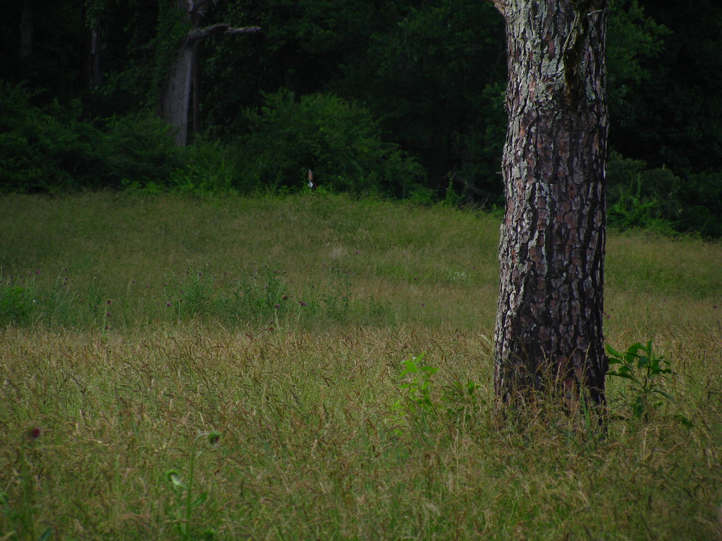 Rocky CoveHiking · ~16 min drivePhoto: alex_ford, CC BY 2.0 (via Flickr)
- Little Fires CreekHiking · ~3 min drive
- Bald SpringsHiking · ~4 min drive
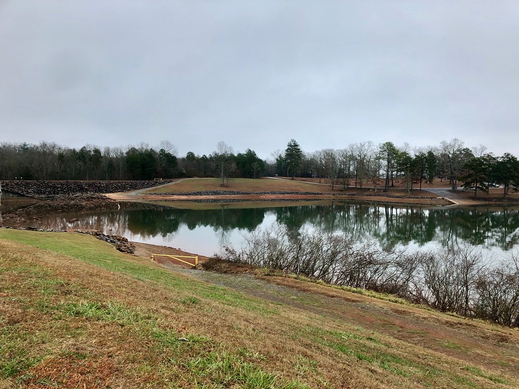 High PointHiking · ~16 min drivePhoto: w_lemay, Public Domain Dedication (CC0) (via Flickr)
- Trail RidgeHiking · ~6 min drive
