White Pine South Group Camp
Campground
Sites open the weekend of Dec 4 on Recreation.gov
Closure in the area
There's a closure order in National Forests in North Carolina. It doesn't name North Slope Connector Trail, so check the source for the area it covers (2 listed).
Maple Sally Road Closure
Agency closure covering National Forests in North Carolina · USFS · National Forests in North Carolina
Table Rock Road construction starts Nov. 2, 2026
Agency closure covering National Forests in North Carolina · USFS · National Forests in North Carolina
Pisgah National Forest Begins Removing Hazardous Fuel Left by Helene via Helicopters
Agency alert covering National Forests in North Carolina · USFS · National Forests in North Carolina
Temporary Closure - The Elk Falls Trail
Agency alert covering National Forests in North Carolina · USFS · National Forests in North Carolina
Rainbow Springs Road closed for reconstruction
Agency alert covering National Forests in North Carolina · USFS · National Forests in North Carolina
As of · Source: USFS · National Forests in North Carolina. Agencies don't list every closure — check before you go.
North Slope Connector Trail is a 1.8-mile out-and-back hike in the Pisgah Ranger District of the National Forests in North Carolina, managed by the Forest Service. The trail starts at about 3,181 feet and climbs to a high point of 3,181 feet, with a total gain of 747 feet and a loss of 747 feet over the round trip. The steepest stretch comes early, at about 0.17 miles in, with a grade of 21 percent. The most comfortable months for a visit are typically May and September, when typical averages from a nearby weather station in Brevard run around 75°F and 77°F for highs, with October and April near 69°F. That station sits roughly 1,000 feet below the trail, so temperatures on the route run cooler. The trip takes about an hour. Stony Knob lies 0.3 miles away, and Coon Tree Loop is 1.3 miles off. Climbers can head to Hidden Wall, about 2.4 miles away, and paddlers to the Davidson River, about 3.1 miles away.
White Pine South Group Camp
Campground
Twin Dragons Grand Buffet
Restaurant
 If it rainsMx. Granger, CC0 · Wikimedia Commons
Places © OpenStreetMap contributors · Photos: Mx. Granger, CC0 (commons)
More in HendersonvilleNot on Roamze yet. Their page has how to reach them.
 Coon Tree LoopHikingPhoto: twbuckner, CC BY 2.0 (via Wikimedia Commons)1.3 mi
 Hidden WallRock climbingPhoto: jasonferrell, CC BY 2.0 (via Flickr)2.4 mi
 Upper Cove Creek Roadside CampsitesCampingPhoto: Wncoutdoors, CC BY-SA 3.0 (via Wikimedia Commons)4.1 mi
Source: Roamze catalog (indexable pages within 10 miles, PostGIS distance)
Coon Tree LoopHiking · ~2 min drivePhoto: twbuckner, CC BY 2.0 (via Wikimedia Commons) COON TREE LOOP CONNECTORHiking · ~2 min drivePhoto: 5chw4r7z, CC BY-SA 2.0 (via Flickr)
 Looking Glass RockHiking · ~3 min drivePhoto: mededeler, CC BY 2.0 (via Flickr)
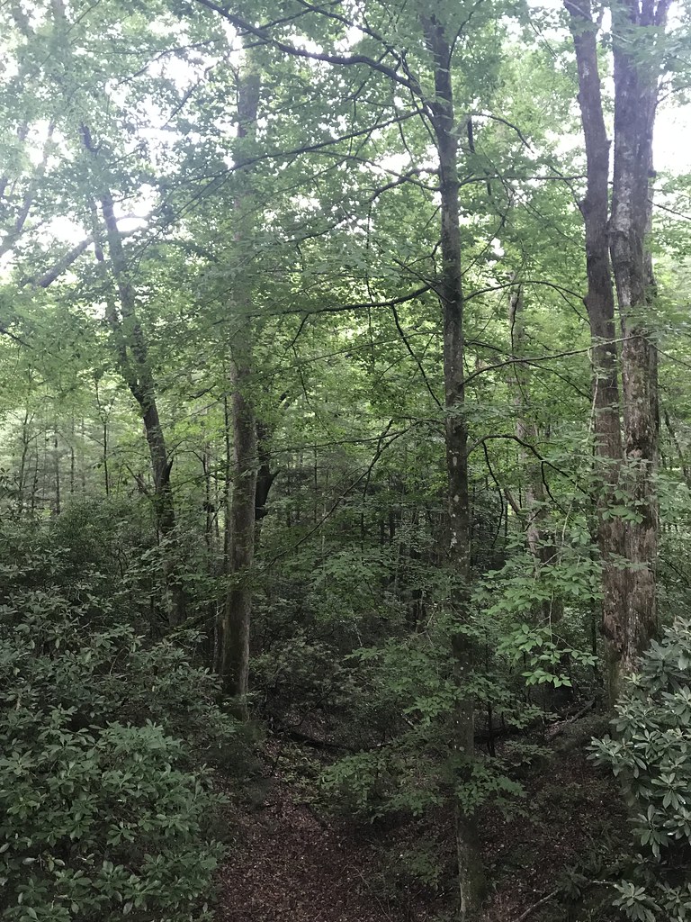 Exercise TrailHiking · ~3 min drivePhoto: HopeHill, CC BY 2.0 (via Flickr)Thrift Cove TrailHiking · ~4 min drivePhoto: HopeHill, CC BY 2.0 (via Flickr)North Slope LoopHiking · ~3 min drivePhoto: HopeHill, CC BY 2.0 (via Flickr)
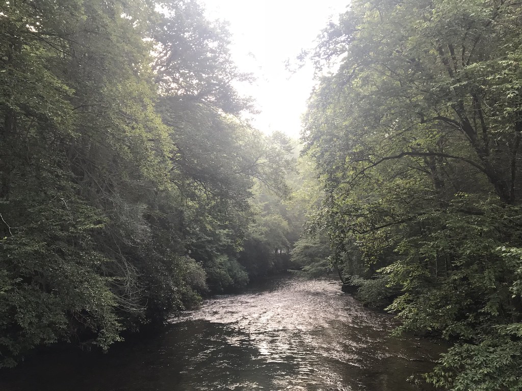 EstatoeHiking · ~4 min drivePhoto: HopeHill, CC BY 2.0 (via Flickr)
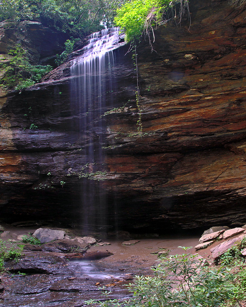 Coontree LoopHiking · ~4 min drivePhoto: rharrison, CC BY-SA 2.0 (via Flickr)Sycamore CoveHiking · ~4 min drivePhoto: HopeHill, CC BY 2.0 (via Flickr)
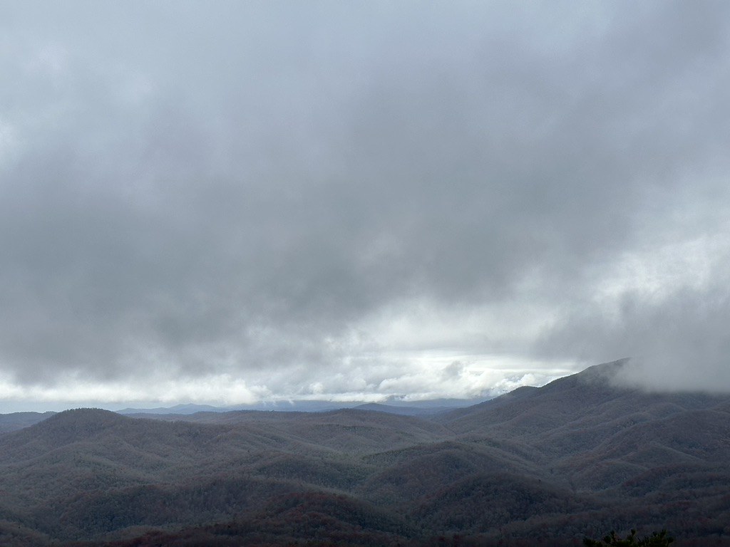 Slick Rock FallsHiking · ~5 min drivePhoto: zappowbang, CC BY-SA 2.0 (via Flickr)
Best months: March–May and September–November. Best months have typical highs of 55–85 °F, lows of 30 °F or warmer (32 °F where the station doesn't record snow), at most one snowy day and no more than 12 wet days.
Jan
49° / 25°
10 wet · 1 snow
Feb
53° / 27°
10 wet · 1 snow
Mar
60° / 33°
12 wet
Apr
69° / 41°
11 wet
May
75° / 50°
12 wet
Jun
81° / 58°
14 wet
Jul
83° / 62°
15 wet
Aug
82° / 62°
14 wet
Sep
77° / 55°
10 wet
Oct
69° / 43°
9 wet
Nov
59° / 32°
8 wet
Dec
51° / 28°
10 wet · 1 snow
Typical high / low (°F) and days with rain or snow, 1991–2020. Measured at Brevard, NC, 3.2 mi away at 2,175 ft. The station sits about 1,000 ft lower than this place, so expect it a little cooler here. Source: NOAA NCEI U.S. Climate Normals 1991–2020.
Map and trail data © OpenStreetMap contributors


