Goshen Creek
Campground
Campground · 3.1 mi from the trail
No closures listed
The National Park Service lists no closures for Blue Ridge Parkway.
As of · Source: NPS · Blue Ridge Parkway. Agencies don't list every closure — check before you go.
The Mountains-to-Sea Trail is a 1.4-mile out-and-back hike on the Blue Ridge Parkway in North Carolina, managed by the National Park Service. The trail starts at about 3,766 feet and reaches a high point of about 3,895 feet, with a total climb of about 333 feet and a steepest grade of about 10% around the 0.6-mile mark. It is rated moderate. Summer is the most comfortable time to go. Typical averages from a nearby weather station at Blowing Rock show July highs around 77°F with lows near 60°F, while winter highs stay in the upper 30s. Thunder Hill Boulders, a climbing area, is about 0.7 miles away, and the Blue Ridge Conservancy Trail is about 0.8 miles away. For an overnight stay, Julian Price Memorial Park Campground is about 5 miles off, and the Yadkin River offers paddling about 8 miles away.
Goshen Creek
Campground
Native American Artifacts
Museum
Places © OpenStreetMap contributors, Places © Overture Maps Foundation
More in JeffersonNot on Roamze yet. Their page has how to reach them.
Daily highs and lows, wind and the chance of precipitation at the summit and route start for the next 7 days, from the Open-Meteo model.
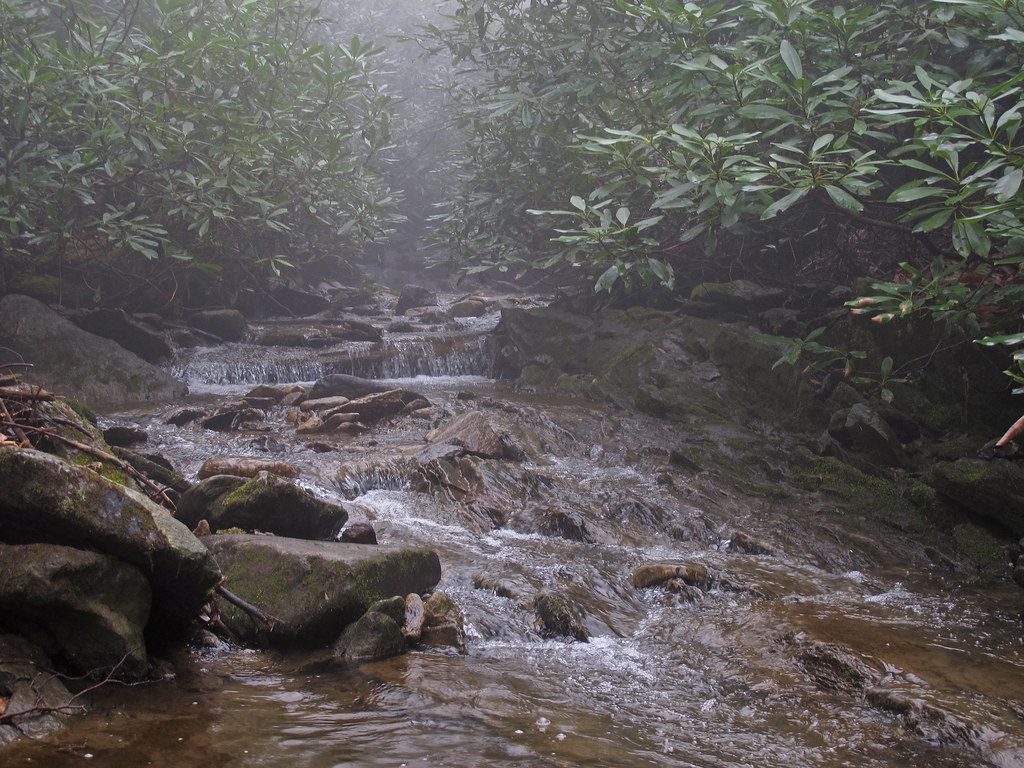 Glenn Burney TrailHikingPhoto: pmuellr, CC BY 2.0 (via Flickr)2.3 mi
 Yadkin RiverCanoeingPhoto: unknown/w:NOAA, Public domain (via Wikimedia Commons)7.7 mi
Source: Roamze catalog (indexable pages within 10 miles, PostGIS distance)
 Mountains-to-Sea TrailHiking · ~4 min drivePhoto: pmuellr, CC BY 2.0 (via Flickr)Glenn Burney TrailHiking · ~4 min drivePhoto: pmuellr, CC BY 2.0 (via Flickr)China Creek TrailHiking · ~5 min drivePhoto: pmuellr, CC BY 2.0 (via Flickr)
 China CreekHiking · ~5 min drivePhoto: pmuellr, CC BY 2.0 (via Flickr)Glenn Burney TrailHiking · ~4 min drivePhoto: pmuellr, CC BY 2.0 (via Flickr)
 Green Knob TrailHiking · ~7 min drivePhoto: Larry Lamb, CC BY-SA 3.0 (via Wikimedia Commons)
 CHINA CREEKHiking · ~5 min drivePhoto: pmuellr, CC BY 2.0 (via Flickr)
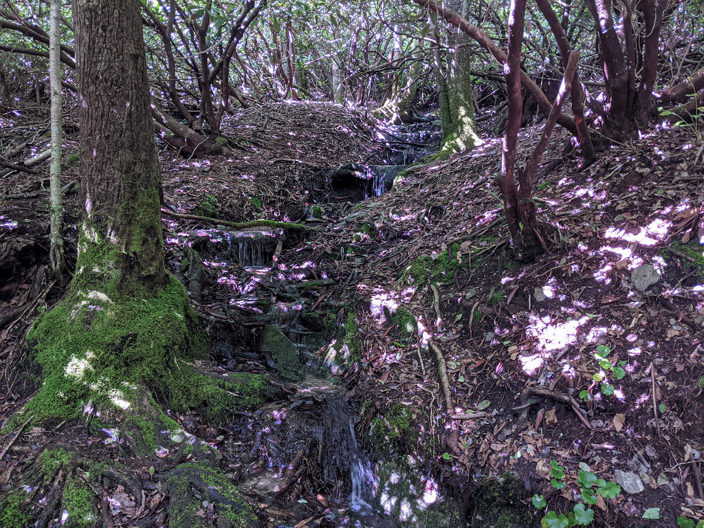 Mountains-to-Sea TrailHiking · ~9 min drivePhoto: pmuellr, CC BY 2.0 (via Flickr)
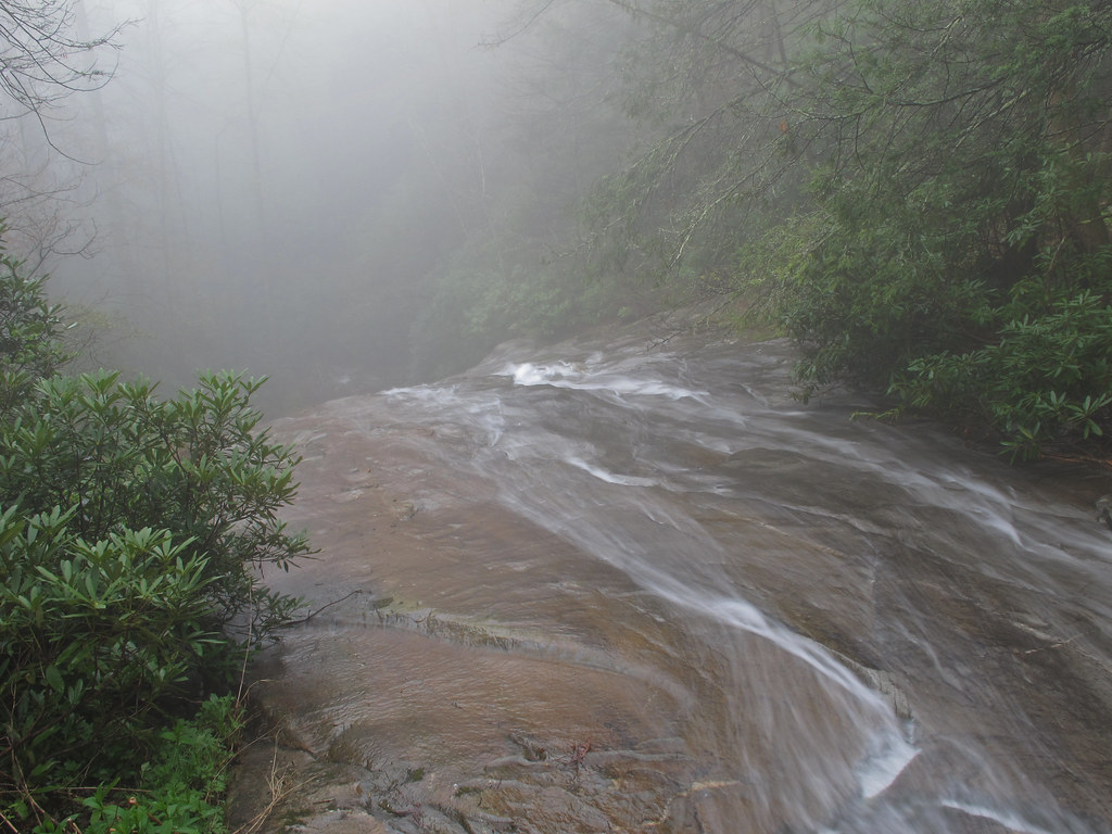 Thunderhole FallsHiking · ~6 min drivePhoto: pmuellr, CC BY 2.0 (via Flickr)
 Tanawha TrailHiking · ~10 min drivePhoto: Larry Lamb, CC BY-SA 3.0 (via Wikimedia Commons)
Best months: April–October. Best months have typical highs of 55–85 °F, lows of 30 °F or warmer (32 °F where the station doesn't record snow), at most one snowy day and no more than 12 wet days.
Jan
39° / 21°
Feb
42° / 24°
Mar
50° / 30°
Apr
60° / 40°
May
66° / 48°
Jun
73° / 55°
Jul
77° / 60°
Aug
75° / 58°
Sep
70° / 53°
Oct
60° / 42°
Nov
51° / 32°
Dec
42° / 26°
Typical high / low (°F) and days with rain or snow, 1991–2020. Measured at Blowing Rock 1nw, NC, 3.5 mi away at 3,850 ft. This station doesn't record snowfall. Source: NOAA NCEI U.S. Climate Normals 1991–2020.
About 0.7 mi round trip.
About 333 ft of climbing round trip.
It is rated moderate.
About 0.5 hours round trip.
Map and trail data © OpenStreetMap contributors
