Julian Price Memorial Park Campground
Campground
Campground · 2.9 mi from the trail
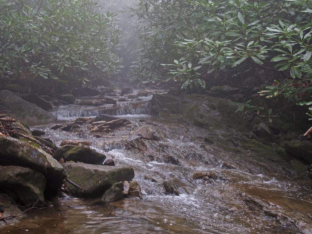 Photo: pmuellr, CC BY 2.0 (via Flickr)
Closure in the area
There's a closure order in National Forests in North Carolina. It doesn't name Glenn Burney Trail, so check the source for the area it covers (2 listed).
Maple Sally Road Closure
Agency closure covering National Forests in North Carolina · USFS · National Forests in North Carolina
Table Rock Road construction starts Nov. 2, 2026
Agency closure covering National Forests in North Carolina · USFS · National Forests in North Carolina
Pisgah National Forest Begins Removing Hazardous Fuel Left by Helene via Helicopters
Agency alert covering National Forests in North Carolina · USFS · National Forests in North Carolina
Temporary Closure - The Elk Falls Trail
Agency alert covering National Forests in North Carolina · USFS · National Forests in North Carolina
Rainbow Springs Road closed for reconstruction
Agency alert covering National Forests in North Carolina · USFS · National Forests in North Carolina
As of · Source: USFS · National Forests in North Carolina. Agencies don't list every closure — check before you go.
The Glenn Burney Trail is a short, easy hike in the Grandfather Ranger District of the National Forests in North Carolina, on land that also falls within the Town of Blowing Rock Open Space. The trail is an out-and-back of about 0.8 miles, with a total climb of roughly 398 feet and a high point near 3,571 feet. That makes it a gentle outing rather than a serious climb, and it fits easily into a longer day in the area. The trail starts at around 3,555 feet and reaches its highest point just past the steepest stretch, which occurs about 0.17 miles in and rises to about 11%. From there, the path rolls back down to nearly the same elevation at the start, so the total gain and loss are each about 398 feet. Summer is the most comfortable time to go. Typical averages from a nearby weather station in Blowing Rock show July highs around 77°F with lows near 60°F, while winter highs stay in the upper 30s to low 40s. Other spots are close by. China Creek and the China Creek Trail are both about 0.7 miles away, and the Classic Boulder climbing area is about 0.9 miles off. For an overnight stay, Julian Price Memorial Park Campground lies about 2.9 miles away.
Julian Price Memorial Park Campground
Campground
Blowing Rock 1888 Museum
Museum
Places © OpenStreetMap contributors, Places © Overture Maps Foundation
More in JeffersonNot on Roamze yet. Their page has how to reach them.
 CHINA CREEKHikingPhoto: pmuellr, CC BY 2.0 (via Flickr)0.7 miChina Creek TrailHikingPhoto: pmuellr, CC BY 2.0 (via Flickr)0.7 mi
 Yadkin RiverCanoeingPhoto: unknown/w:NOAA, Public domain (via Wikimedia Commons)8.8 mi
Source: Roamze catalog (indexable pages within 10 miles, PostGIS distance)
Glenn Burney TrailHiking · Next doorPhoto: pmuellr, CC BY 2.0 (via Flickr)China Creek TrailHiking · ~1 min drivePhoto: pmuellr, CC BY 2.0 (via Flickr) China CreekHiking · ~2 min drivePhoto: pmuellr, CC BY 2.0 (via Flickr)CHINA CREEKHiking · ~1 min drivePhoto: pmuellr, CC BY 2.0 (via Flickr)
 Green Knob TrailHiking · ~3 min drivePhoto: Larry Lamb, CC BY-SA 3.0 (via Wikimedia Commons)
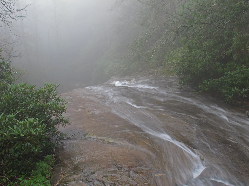 Thunderhole FallsHiking · ~3 min drivePhoto: pmuellr, CC BY 2.0 (via Flickr)
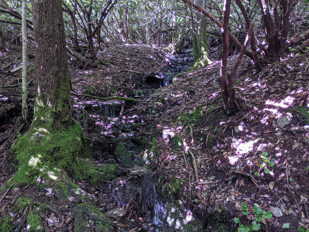 Mountains-to-Sea TrailHiking · ~5 min drivePhoto: pmuellr, CC BY 2.0 (via Flickr)Mountains-to-Sea TrailHiking · ~5 min drivePhoto: Larry Lamb, CC BY-SA 3.0 (via Wikimedia Commons)
 Tanawha TrailHiking · ~6 min drivePhoto: Larry Lamb, CC BY-SA 3.0 (via Wikimedia Commons)Mountains-to-Sea TrailHiking · ~5 min drivePhoto: Larry Lamb, CC BY-SA 3.0 (via Wikimedia Commons)
Best months: April–October. Best months have typical highs of 55–85 °F, lows of 30 °F or warmer (32 °F where the station doesn't record snow), at most one snowy day and no more than 12 wet days.
Jan
39° / 21°
Feb
42° / 24°
Mar
50° / 30°
Apr
60° / 40°
May
66° / 48°
Jun
73° / 55°
Jul
77° / 60°
Aug
75° / 58°
Sep
70° / 53°
Oct
60° / 42°
Nov
51° / 32°
Dec
42° / 26°
Typical high / low (°F) and days with rain or snow, 1991–2020. Measured at Blowing Rock 1nw, NC, 1.6 mi away at 3,850 ft. This station doesn't record snowfall. Source: NOAA NCEI U.S. Climate Normals 1991–2020.
Map and trail data © OpenStreetMap contributors

