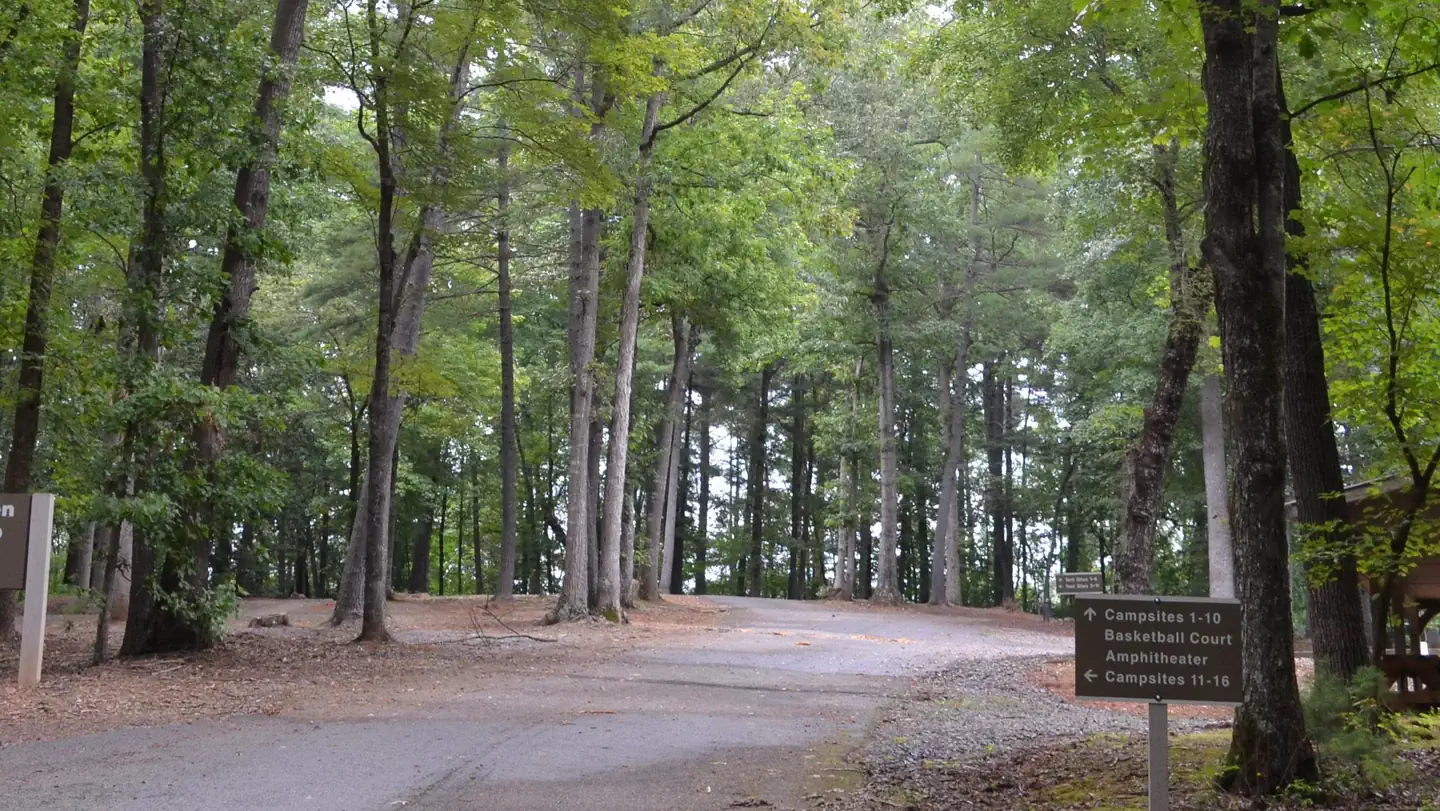
Rendezvous Mountain Group Camp
Campground
Campground · 0.8 mi from the trail
Mountain Ridge Trail is a moderate out-and-back hike in North Carolina, about 1.2 miles from the small community of Wilbar. The trail is roughly 6.3 miles long, with a total elevation gain of 1,879 feet, and the high point reaches 2,554 feet. The climb is steady, and the steepest stretch comes at about 2.6 miles in, where the grade reaches 18 percent. The most comfortable months for a visit are typically late spring and early fall. Typical averages from a nearby weather station in Transou run from highs around 69°F in May to about 72°F in September, with July the warmest at 79°F. That station sits about 280 feet higher than the trail's start, so temperatures on the trail may run slightly warmer. The hike takes about three hours. Three other trails, Talking Tree Trail, Forest Demonstration Trail and Amadehy Waterfalls Trail, all lie within about 0.2 miles. For an overnight stay, Fish Dam Creek Park is about 7.3 miles away.
Rendezvous Mountain Group Camp
Campground
Forestry Center
Museum
Places © OpenStreetMap contributors, Places © Overture Maps Foundation
More in JeffersonNot on Roamze yet. Their page has how to reach them.
Daily highs and lows, wind and the chance of precipitation at the summit and route start for the next 7 days, from the Open-Meteo model.
 Fort Hamby ParkLake fishing6.8 mi
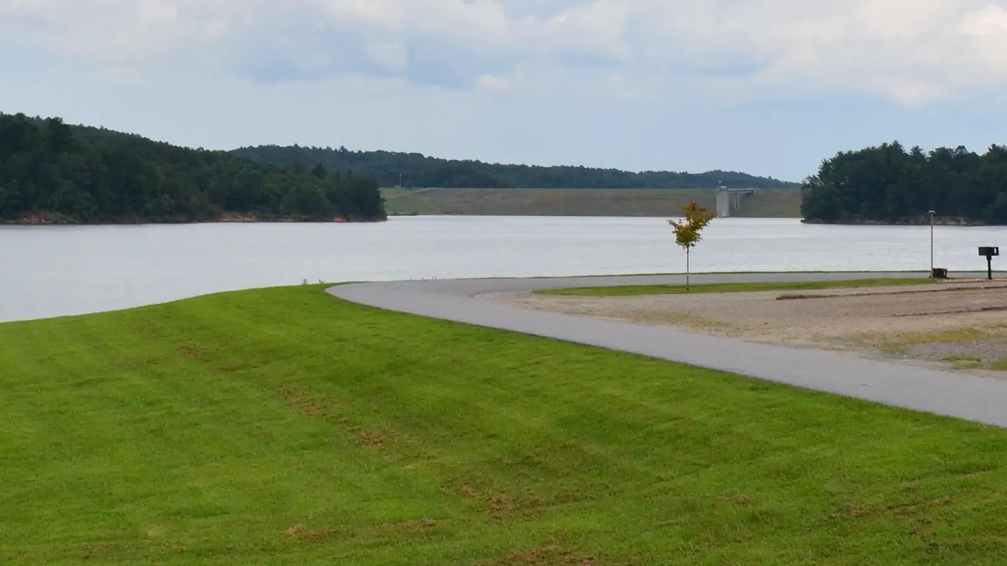 Bandits RoostLake fishing7.7 mi
Source: Roamze catalog (indexable pages within 10 miles, PostGIS distance)
 Mountains-to-Sea TrailHiking · ~10 min drivePhoto: Chris Hunkeler, CC BY-SA 2.0 (via Flickr)Mountains-to-Sea TrailHiking · ~11 min drivePhoto: Chris Hunkeler, CC BY-SA 2.0 (via Flickr)Mountains-to-Sea TrailHiking · ~11 min drivePhoto: Chris Hunkeler, CC BY-SA 2.0 (via Flickr)
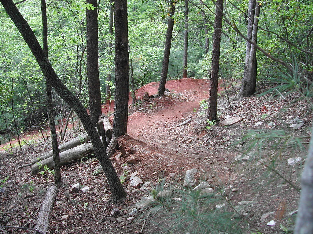 Core TrailHiking · ~12 min drivePhoto: twbuckner, CC BY 2.0 (via Flickr)Dark MountainHiking · ~12 min drivePhoto: twbuckner, CC BY 2.0 (via Flickr)
 OVT beginner TrailHiking · ~13 min drivePhoto: twbuckner, CC BY 2.0 (via Flickr)Fish Dam Creek TrailHiking · ~12 min drivePhoto: twbuckner, CC BY 2.0 (via Flickr)
 Mountains-to-Sea TrailHiking · ~16 min drivePhoto: pmuellr, CC BY 2.0 (via Flickr)
Best months: April and September–October. Best months have typical highs of 55–85 °F, lows of 30 °F or warmer (32 °F where the station doesn't record snow), at most one snowy day and no more than 12 wet days.
Jan
42° / 22°
10 wet
Feb
45° / 24°
10 wet
Mar
52° / 30°
11 wet
Apr
62° / 37°
12 wet
May
69° / 46°
14 wet
Jun
76° / 54°
14 wet
Jul
79° / 58°
14 wet
Aug
78° / 57°
14 wet
Sep
72° / 50°
11 wet
Oct
63° / 39°
10 wet
Nov
53° / 30°
9 wet
Dec
45° / 25°
10 wet
Typical high / low (°F) and days with rain or snow, 1991–2020. Measured at Transou, NC, 11.9 mi away at 2,834 ft. This station doesn't record snowfall. Source: NOAA NCEI U.S. Climate Normals 1991–2020.
About 3.2 mi round trip.
About 1,879 ft of climbing round trip.
It is rated moderate.
About 1.5 hours round trip.
3: Mountain Ridge Trail, Talking Tree Trail and Forest Demonstration Trail.
Map and trail data © OpenStreetMap contributors
