W. Kerr Scott Visitor Assistance Center Conference Room
Campground
The next 6 weekends are full on Recreation.gov
 Photo: twbuckner, CC BY 2.0 (via Flickr)
The OVT beginner Trail is an easy hike of under a mile, with a total elevation gain of about 250 feet, set within the W. Kerr Scott Reservoir area of North Carolina. It starts around 1,130 feet and climbs to about 1,177 feet, with the steepest stretch near the beginning, where the grade reaches about 14%. Spring and fall are the most comfortable times to go. Typical averages from a nearby weather station show October highs around 72°F with lows near 46°F, and April highs around 70°F. Midsummer runs hotter, with July highs near 88°F. The trail sits right alongside the Overmountain Victory Trail, about 0.1 mile away. The W. Kerr Scott Visitor Assistance Center Conference Room and Dam Site Shelter are also within a quarter mile. For a longer outing, Fish Dam Creek Park is about 0.6 mile off.
W. Kerr Scott Visitor Assistance Center Conference Room
Campground
Almost on The Lake
Restaurant
Forestry Center
Museum
Places © OpenStreetMap contributors
More in JeffersonNot on Roamze yet. Their page has how to reach them.
Overmountain Victory TrailHikingPhoto: twbuckner, CC BY 2.0 (via Flickr)0.1 mi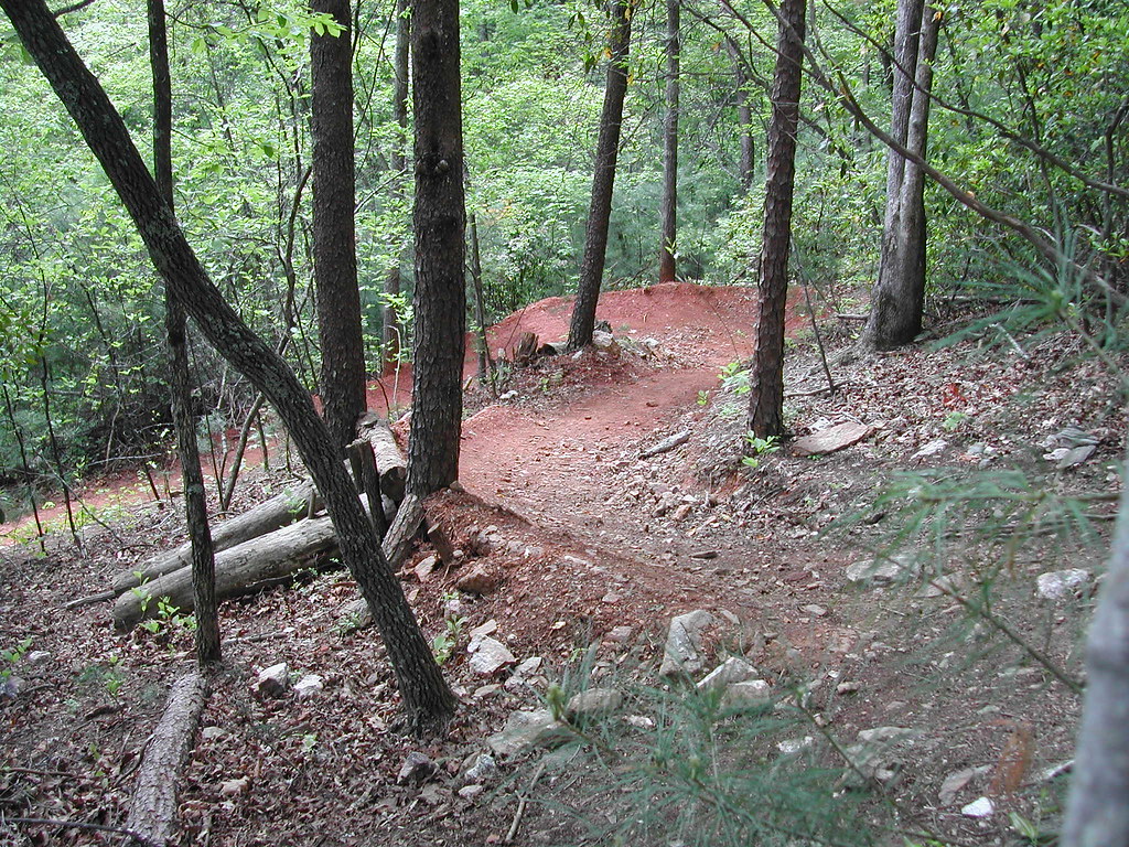 Core TrailHikingPhoto: twbuckner, CC BY 2.0 (via Flickr)0.6 miFish Dam Creek TrailHikingPhoto: twbuckner, CC BY 2.0 (via Flickr)0.7 mi
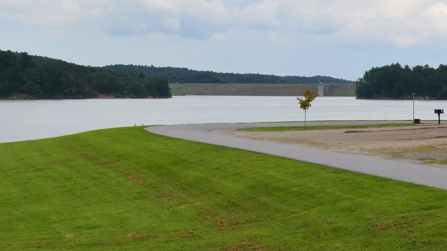 Bandits RoostLake fishing1.4 mi
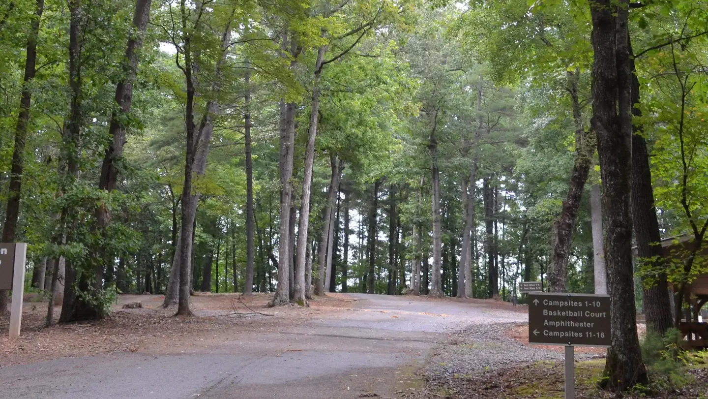 Fort Hamby ParkLake fishing2.6 mi
Source: Roamze catalog (indexable pages within 10 miles, PostGIS distance)
Overmountain Victory TrailHiking · Next doorPhoto: twbuckner, CC BY 2.0 (via Flickr)Core TrailHiking · ~1 min drivePhoto: twbuckner, CC BY 2.0 (via Flickr) Mountains-to-Sea TrailHiking · ~29 min drivePhoto: pedrik, CC BY 2.0 (via Flickr)Fish Dam Creek TrailHiking · ~1 min drivePhoto: twbuckner, CC BY 2.0 (via Flickr)
 Mountains-to-Sea TrailHiking · ~24 min drivePhoto: Chris Hunkeler, CC BY-SA 2.0 (via Flickr)Dark MountainHiking · ~1 min drivePhoto: twbuckner, CC BY 2.0 (via Flickr)
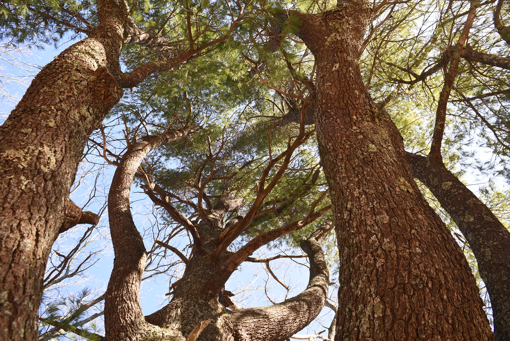 Cascades TrailHiking · ~26 min drivePhoto: Chris Hunkeler, CC BY-SA 2.0 (via Flickr)Mountains-to-Sea TrailHiking · ~23 min drivePhoto: Chris Hunkeler, CC BY-SA 2.0 (via Flickr)
Best months: March–May and September–November. Best months have typical highs of 55–85 °F, lows of 30 °F or warmer (32 °F where the station doesn't record snow), at most one snowy day and no more than 12 wet days.
Jan
49° / 27°
11 wet
Feb
53° / 29°
10 wet
Mar
61° / 36°
11 wet
Apr
70° / 44°
11 wet
May
78° / 54°
12 wet
Jun
85° / 62°
13 wet
Jul
88° / 66°
13 wet
Aug
86° / 65°
13 wet
Sep
81° / 59°
10 wet
Oct
72° / 46°
9 wet
Nov
61° / 36°
9 wet
Dec
52° / 30°
11 wet
Typical high / low (°F) and days with rain or snow, 1991–2020. Measured at W Kerr Scott Resv, NC, 0.2 mi away at 1,070 ft. This station doesn't record snowfall. Source: NOAA NCEI U.S. Climate Normals 1991–2020.
Map and trail data © OpenStreetMap contributors

