Fish Dam Creek Park
Campground
Campground · 0.2 mi from the trail
Tailwater Access is a boat launch on the W. Kerr Scott Reservoir in North Carolina, about 2.6 miles from Wilkesboro. The Corps of Engineers manages the land here, and the access sits right alongside a cluster of trails and camping spots, making it a convenient starting point for time on the water and on foot. For comfortable weather, aim for late spring or fall. Typical averages from a nearby weather station show May highs around 78°F and October highs around 72°F, with September and October seeing the fewest wet days of the year. July is the warmest month, with highs near 88°F. Fish Dam Creek Trail and Fish Dam Creek Park are both about 0.2 miles away, and the Core Trail is about 0.4 miles off. For more fishing, Bandits Roost is roughly 1.9 miles from the launch.
Fish Dam Creek Park
Campground
Almost on The Lake
Restaurant
Forestry Center
Museum
Places © OpenStreetMap contributors
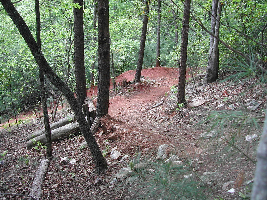
More in Jefferson Fish Dam Creek TrailHikingPhoto: twbuckner, CC BY 2.0 (via Flickr)0.2 mi
 Core TrailHikingPhoto: twbuckner, CC BY 2.0 (via Flickr)0.4 miOvermountain Victory TrailHikingPhoto: twbuckner, CC BY 2.0 (via Flickr)0.5 mi
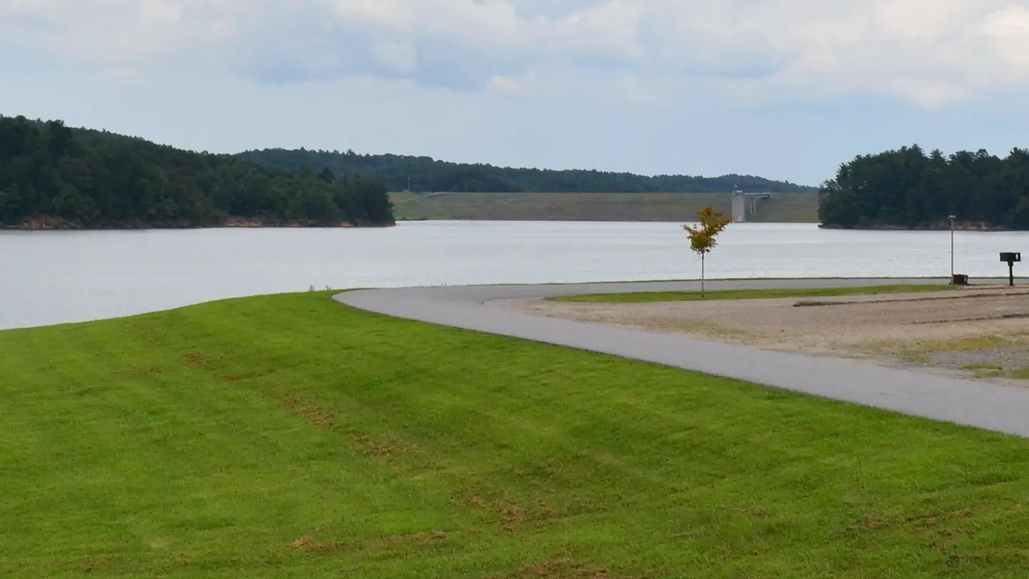 Bandits RoostLake fishing1.9 mi
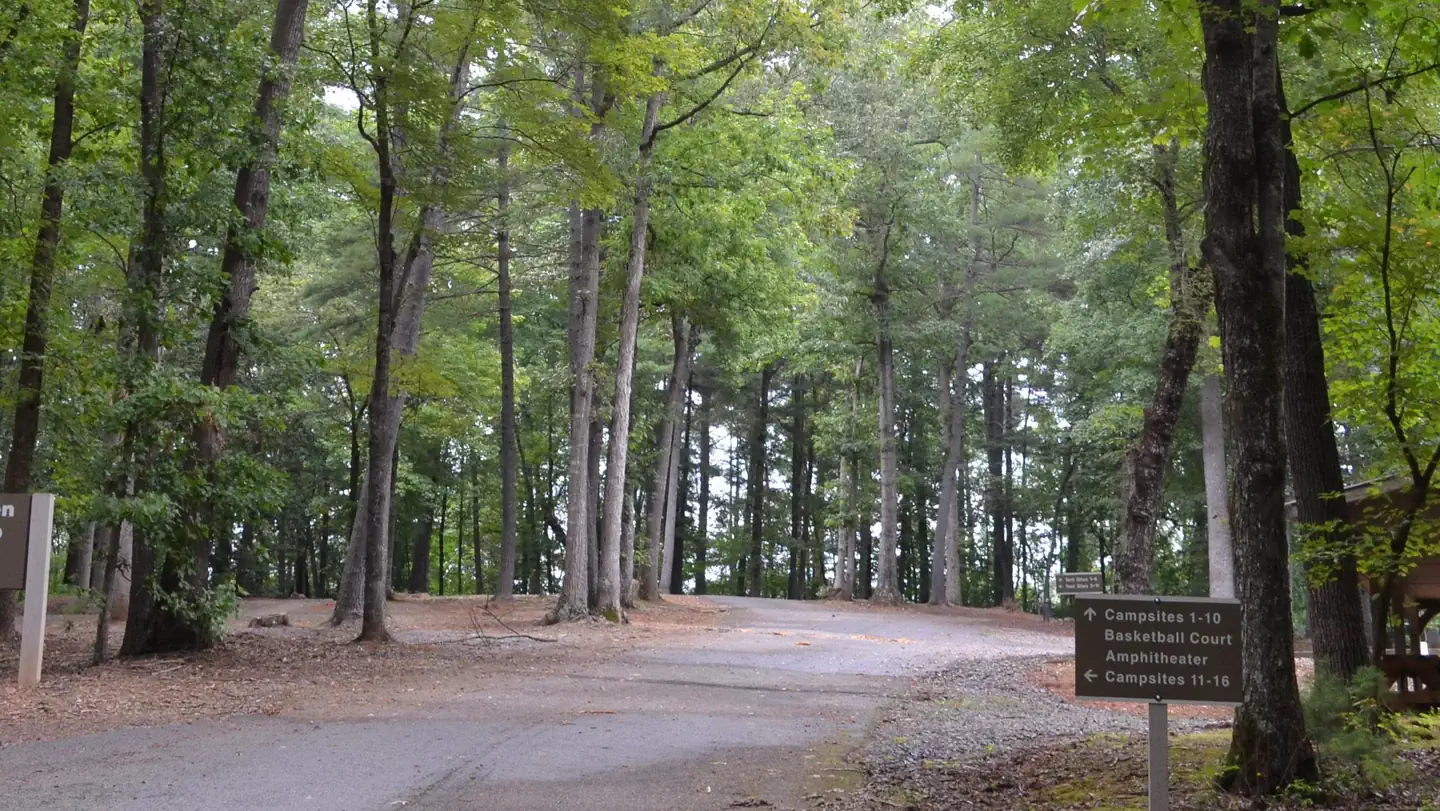 Fort Hamby ParkLake fishing2.8 mi
Source: Roamze catalog (indexable pages within 10 miles, PostGIS distance)
 Yadkin RiverCanoeing · ~35 min drivePhoto: unknown/w:NOAA, Public domain (via Wikimedia Commons)
 Wilson CreekCanoeing · ~54 min drivePhoto: Ken Thomas, Public domain (via Wikimedia Commons)
 Roan CreekCanoeing · ~1h 4m drivePhoto: Brian Stansberry, CC BY 3.0 (via Wikimedia Commons)
Best months: March–May and September–November. Best months have typical highs of 55–85 °F, lows of 30 °F or warmer (32 °F where the station doesn't record snow), at most one snowy day and no more than 12 wet days.
Jan
49° / 27°
11 wet
Feb
53° / 29°
10 wet
Mar
61° / 36°
11 wet
Apr
70° / 44°
11 wet
May
78° / 54°
12 wet
Jun
85° / 62°
13 wet
Jul
88° / 66°
13 wet
Aug
86° / 65°
13 wet
Sep
81° / 59°
10 wet
Oct
72° / 46°
9 wet
Nov
61° / 36°
9 wet
Dec
52° / 30°
11 wet
Typical high / low (°F) and days with rain or snow, 1991–2020. Measured at W Kerr Scott Resv, NC, 0.5 mi away at 1,070 ft. This station doesn't record snowfall. Source: NOAA NCEI U.S. Climate Normals 1991–2020.
Map and trail data © OpenStreetMap contributors

