Camp Crestridge for Girls
Campground
Campground · 1.2 mi from the trail
Lookout Trail is a 0.7-mile out-and-back hike in western North Carolina, about 0.7 miles from the town of Montreat. The trail rises from 3,019 feet to 3,347 feet, with a total gain of 454 feet, and the steepest stretch comes within the first 0.08 miles at a 24% grade. It is rated moderate. The most comfortable months for a visit are typically October and May, when typical averages from a nearby weather station run to highs around 68°F and 75°F. That station sits about 870 feet lower than the trail's high point, so temperatures on the summit run cooler. Adventure Trail and East Ridge Trail both lie about 0.6 miles away, and Greybeard Boulders is about 0.7 miles off. For paddling, the Swannanoa River is about 3.3 miles away.
Camp Crestridge for Girls
Campground
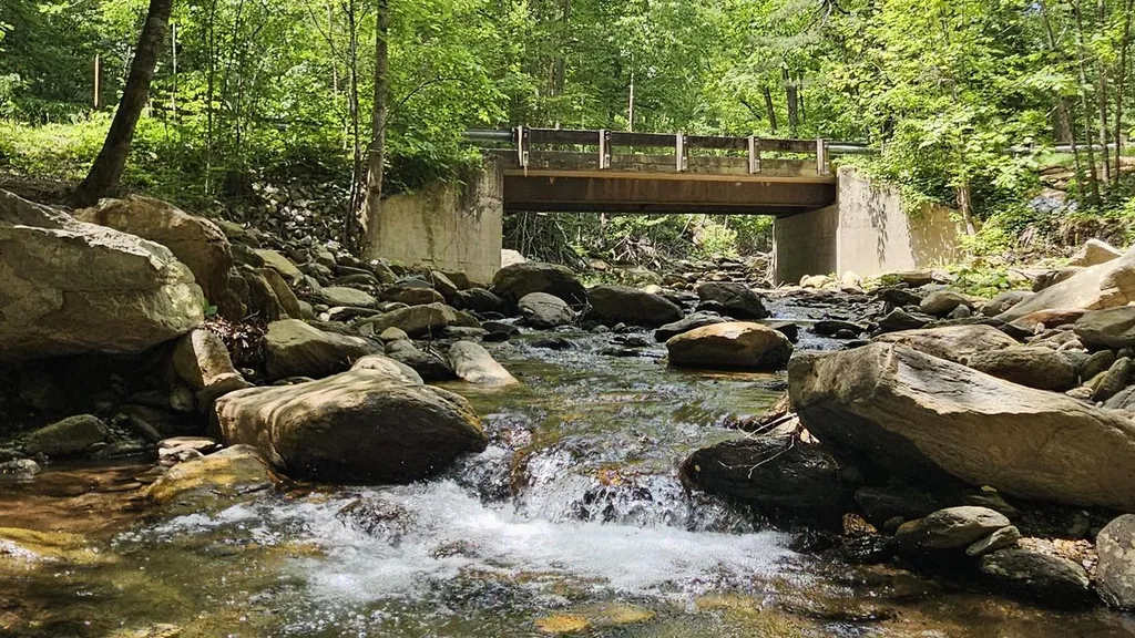
 If it rainsDavidhuffcreative, CC BY-SA 4.0 · Wikimedia Commons
Places © OpenStreetMap contributors, Places © Overture Maps Foundation · Photos: Davidhuffcreative, CC BY-SA 4.0 (commons)
More in Spruce PineNot on Roamze yet. Their page has how to reach them.
 Curtis Creek Campground (nc)CampingPhoto: Recreation.gov (RIDB) / public domain5.6 mi
 Briar Bottom Group CampCampingPhoto: Wncoutdoors, CC BY-SA 3.0 (via Wikimedia Commons)8.1 mi
Source: Roamze catalog (indexable pages within 10 miles, PostGIS distance)
 Rhododendron Ridge TrailHiking · ~1 min drivePhoto: benuski, CC BY-SA 2.0 (via Flickr)Rattlesnake TrailHiking · ~1 min drivePhoto: benuski, CC BY-SA 2.0 (via Flickr)Royal Gorge TrailHiking · ~2 min drivePhoto: benuski, CC BY-SA 2.0 (via Flickr)
Best months: March–April and September–November. Best months have typical highs of 55–85 °F, lows of 30 °F or warmer (32 °F where the station doesn't record snow), at most one snowy day and no more than 12 wet days.
Jan
48° / 28°
11 wet
Feb
52° / 30°
11 wet
Mar
58° / 36°
12 wet
Apr
67° / 44°
12 wet
May
75° / 53°
13 wet
Jun
81° / 60°
13 wet
Jul
84° / 63°
15 wet
Aug
82° / 62°
13 wet
Sep
77° / 56°
10 wet
Oct
68° / 46°
9 wet
Nov
59° / 36°
9 wet
Dec
51° / 31°
11 wet
Typical high / low (°F) and days with rain or snow, 1991–2020. Measured at N Fk 2, NC, 3.3 mi away at 2,480 ft. The station sits about 900 ft lower than this place, so expect it a little cooler here. This station doesn't record snowfall. Source: NOAA NCEI U.S. Climate Normals 1991–2020.
Map and trail data © OpenStreetMap contributors
