Camp Crestridge for Girls
Campground
Campground · 2.2 mi from the trail
Rocky Head Trail is a short, steep out-and-back hike in North Carolina, set within the NC Land and Water Fund Project. The trail is about 1.5 miles long, and it climbs roughly 1,300 feet from the trailhead to the high point at 3,997 feet. That makes it a hard route, with the steepest stretch coming within the first 0.17 miles, where the grade reaches 37 percent. The most comfortable months for a visit are typically late spring and early fall. Typical averages from a nearby weather station show May highs around 69°F and September highs around 70°F, with fewer wet days in September than in summer. That station sits about 320 feet higher than the trail, so temperatures on the trail run a little warmer. The trail makes an easy pairing with other outings in the area. Rocky Head and Greybeard Boulders, both climbing areas, are about 0.4 miles away, and the Lower Piney Trail is a similar distance. For an overnight stay, Curtis Creek Campground is about 5.7 miles away.
Camp Crestridge for Girls
Campground
 If it rainsDavidhuffcreative, CC BY-SA 4.0 · Wikimedia Commons
Places © OpenStreetMap contributors · Photos: Davidhuffcreative, CC BY-SA 4.0 (commons)
More in Spruce PineNot on Roamze yet. Their page has how to reach them.
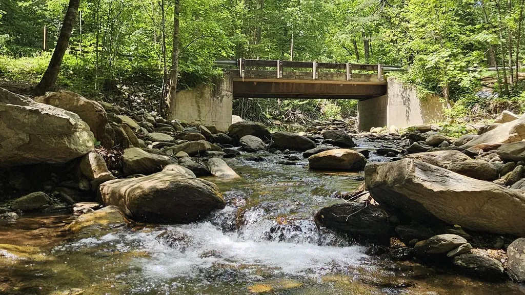 Curtis Creek Campground (nc)CampingPhoto: Recreation.gov (RIDB) / public domain5.7 mi
 Briar Bottom Group CampCampingPhoto: Wncoutdoors, CC BY-SA 3.0 (via Wikimedia Commons)7.4 mi
Source: Roamze catalog (indexable pages within 10 miles, PostGIS distance)
 Rhododendron Ridge TrailHiking · ~3 min drivePhoto: benuski, CC BY-SA 2.0 (via Flickr)
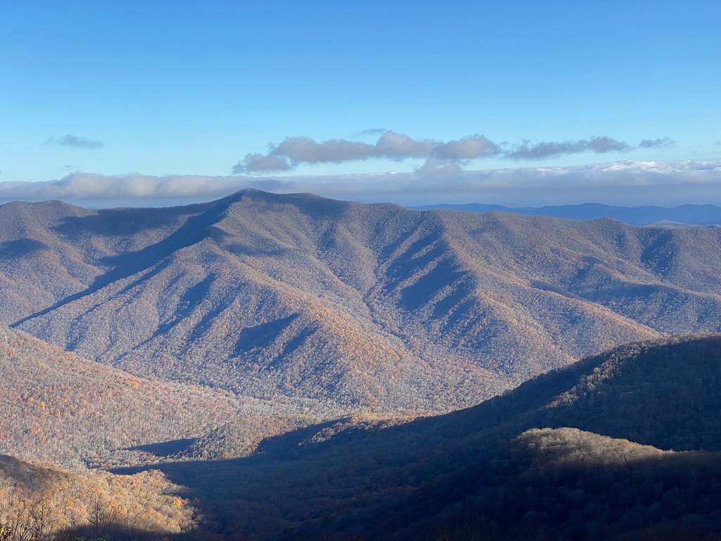 Reese TrailHiking · ~9 min drivePhoto: daveynin, CC BY 2.0 (via Flickr)Rattlesnake TrailHiking · ~3 min drivePhoto: benuski, CC BY-SA 2.0 (via Flickr)
 Craggy Pinnacle TrailHiking · ~9 min drivePhoto: A. Duarte, CC BY-SA 2.0 (via Flickr)Royal Gorge TrailHiking · ~4 min drivePhoto: benuski, CC BY-SA 2.0 (via Flickr)
Best months: May and September–October. Best months have typical highs of 55–85 °F, lows of 30 °F or warmer (32 °F where the station doesn't record snow), at most one snowy day and no more than 12 wet days.
Jan
41° / 25°
13 wet · 6 snow
Feb
44° / 27°
12 wet · 5 snow
Mar
52° / 33°
13 wet · 5 snow
Apr
62° / 42°
12 wet · 2 snow
May
69° / 50°
12 wet
Jun
73° / 57°
14 wet
Jul
76° / 61°
14 wet
Aug
75° / 59°
13 wet
Sep
70° / 54°
10 wet
Oct
61° / 44°
9 wet
Nov
52° / 34°
10 wet · 2 snow
Dec
44° / 28°
12 wet · 5 snow
Typical high / low (°F) and days with rain or snow, 1991–2020. Measured at Swannanoa 2 Sse, NC, 7.6 mi away at 4,320 ft. Source: NOAA NCEI U.S. Climate Normals 1991–2020.
Map and trail data © OpenStreetMap contributors
