Indian Creek Trail
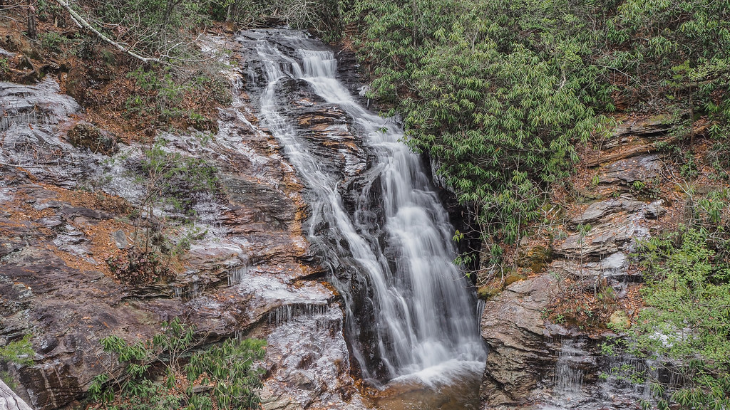 Photo: pmuellr, CC BY 2.0 (via Flickr)
- 0.4 mi
- round trip
- 152 ft
- climb
- 1,713 ft
- high point
- Out and back
- route
- Mar–Jun, Aug–Nov
- best months
Indian Creek Trail is a short, moderate hike in North Carolina, about 2 miles from the town of Moores Springs. The trail is an out-and-back route of roughly 0.75 miles, with a total elevation gain of about 150 feet. The climb is back-loaded, meaning the steepest stretch comes near the end of the route, and the steepest grade reaches about 11% at the 0.3-mile mark. The trail starts at an elevation of about 1,713 feet and reaches a high point of about 1,713 feet, so the route is nearly flat at the top. The total loss is the same as the total gain, which makes the trail easy to fit into a longer outing in the area. Spring and fall are the most comfortable times to go. Typical averages from a nearby weather station in Danbury, NC, show October highs around 70°F with lows near 47°F, and April is similar at about 70°F by day and 44°F at night. That station sits roughly 700 feet lower than the trail, so temperatures on the trail run cooler. Hanging Rock Trail is about 0.3 miles away, and Sky-Net, a climbing area, is about 0.4 miles off. Moores Wall Loop Trail is about 0.7 miles away, and the Little Yadkin River, a paddling spot, is about 9 miles away.
 Hanging Rock TrailHikingPhoto: npdoty, CC BY 2.0 (via Flickr)0.3 mi
- Sky-NetRock climbing0.4 mi
 Fishing PathHikingPhoto: bobistraveling, CC BY 2.0 (via Wikimedia Commons)0.6 mi
- Moores Wall Loop TrailHikingPhoto: bobistraveling, CC BY 2.0 (via Wikimedia Commons)0.7 mi
 Plafond BoulderRock climbingPhoto: bobistraveling, CC BY 2.0 (via Wikimedia Commons)0.9 mi
 North End BoulderfieldRock climbingPhoto: pmuellr, CC BY 2.0 (via Flickr)0.9 mi
- White Monster BoulderRock climbingPhoto: pmuellr, CC BY 2.0 (via Flickr)0.9 mi
- Little Yadkin RiverCanoeing9.1 mi
Source: Roamze catalog (indexable pages within 10 miles, PostGIS distance)
- Hanging Rock TrailHiking · Next doorPhoto: npdoty, CC BY 2.0 (via Flickr)
- Fishing PathHiking · ~1 min drivePhoto: bobistraveling, CC BY 2.0 (via Wikimedia Commons)
 Mountain TrailHiking · ~21 min drivePhoto: bobistraveling, CC BY 2.0 (via Flickr)
- Moores Wall Loop TrailHiking · ~1 min drivePhoto: bobistraveling, CC BY 2.0 (via Wikimedia Commons)
 Riverbluffs TrailHiking · ~4 min drivePhoto: npdoty, CC BY 2.0 (via Flickr)
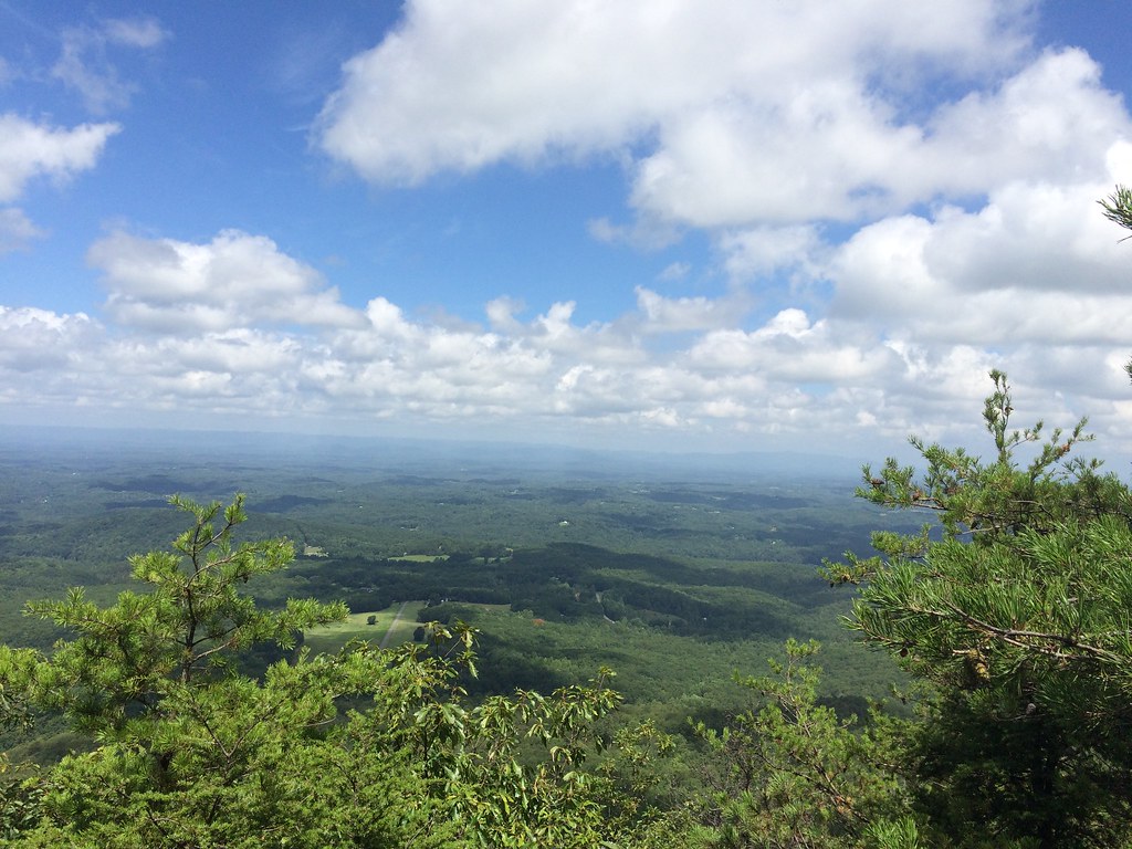 Indian Creek TrailHiking · ~1 min drivePhoto: hankgreene, CC BY 2.0 (via Flickr)
- Indian Creek TrailHiking · ~4 min drivePhoto: npdoty, CC BY 2.0 (via Flickr)
- Wolf Rock TrailHiking · ~2 min drivePhoto: bobistraveling, CC BY 2.0 (via Wikimedia Commons)
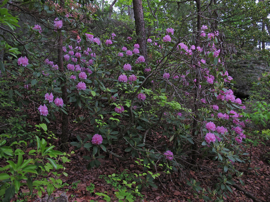 Diamond Lake Bottoms TrailHiking · ~5 min drivePhoto: pmuellr, CC BY 2.0 (via Flickr)
 Lower Cascades TrailHiking · ~2 min drivePhoto: npdoty, CC BY 2.0 (via Flickr)
Also worth it near here
 Hidden FallsWaterfall · Next doorPhoto: The original uploader was 5minutes at English Wikipedia., CC BY-SA 2.5 (via Wikimedia Commons)
- Cole Gap MountainSummit · ~1 min drive
- Hanging Rock State Park CampgroundCamping · ~1 min drive
- Plafond BoulderRock climbing · ~1 min drivePhoto: bobistraveling, CC BY 2.0 (via Wikimedia Commons)
Best time to visit Indian Creek Trail
Best months: March–June and August–November. Best months have typical highs of 55–85 °F, lows of 30 °F or warmer (32 °F where the station doesn't record snow), at most one snowy day and no more than 12 wet days.
Jan
48° / 29°
8 wet
Feb
52° / 30°
8 wet
Mar
59° / 36°
9 wet
Apr
70° / 44°
9 wet
May
76° / 55°
11 wet
Jun
84° / 63°
10 wet
Jul
87° / 68°
11 wet
Aug
85° / 66°
10 wet
Sep
79° / 59°
9 wet
Oct
70° / 47°
9 wet
Nov
60° / 36°
8 wet
Dec
51° / 31°
9 wet
Typical high / low (°F) and days with rain or snow, 1991–2020. Measured at Danbury, NC, 5.4 mi away at 1,019 ft. The station sits about 700 ft lower than this place, so expect it a little cooler here. This station doesn't record snowfall. Source: NOAA NCEI U.S. Climate Normals 1991–2020.
Map and trail data © OpenStreetMap contributors
