Wolf Rock Trail
 Photo: bobistraveling, CC BY 2.0 (via Wikimedia Commons)
- 1.3 mi
- round trip
- 974 ft
- climb
- 2,034 ft
- high point
- Out and back
- route
- Mar–Jun, Aug–Nov
- best months
Wolf Rock Trail is a moderate out-and-back hike in North Carolina, about 2 miles from the town of Flat Shoals. The trail is roughly 2.5 miles long, with a total climb of about 974 feet and a high point of 2,034 feet. The steepest stretch comes around the 1.2-mile mark, where the grade reaches about 11 percent. Spring and fall are the most comfortable times to go. Typical averages from a nearby weather station in Danbury show October highs around 70°F with lows near 47°F, and April is similar at about 70°F by day and 44°F at night. That station sits well below the trail, so temperatures on the higher ground run cooler. Several other trails start close by, including Fishing Path and Moores Wall Loop Trail, both within half a mile. Climbers can find the Warfare area (Upper Cookbook) about 0.9 miles away, and Torys Den Trail is about a mile off.
Conditions and forecast on Cole Gap Mountain
Daily highs and lows, wind and the chance of precipitation at the summit and route start for the next 7 days, from the Open-Meteo model.
- Fishing PathHikingPhoto: bobistraveling, CC BY 2.0 (via Wikimedia Commons)0.3 mi
- Moores Wall Loop TrailHikingPhoto: bobistraveling, CC BY 2.0 (via Wikimedia Commons)0.4 mi
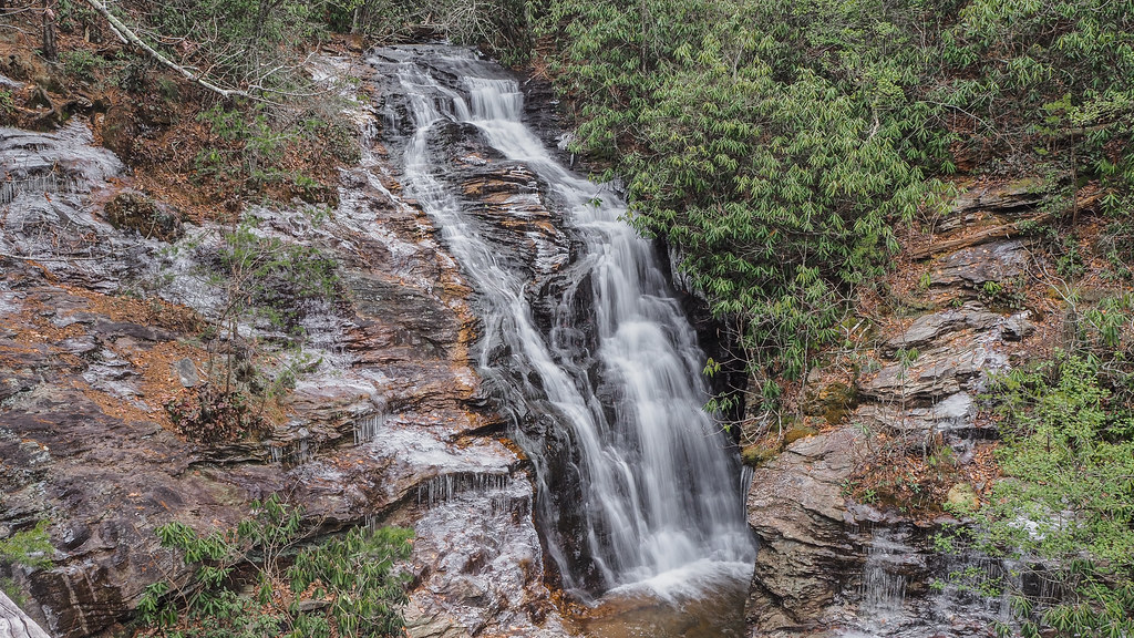 Indian Creek TrailHikingPhoto: pmuellr, CC BY 2.0 (via Flickr)0.9 mi
- Warfare area (Upper Cookbook)Rock climbing0.9 mi
- The ProwRock climbing0.9 mi
- Cooks WallRock climbing1 mi
 Torys Den TrailHikingPhoto: pmuellr, CC BY 2.0 (via Flickr)1 mi
- Little Yadkin RiverCanoeing8.3 mi
Source: Roamze catalog (indexable pages within 10 miles, PostGIS distance)
- Fishing PathHiking · Next doorPhoto: bobistraveling, CC BY 2.0 (via Wikimedia Commons)
- Moores Wall Loop TrailHiking · Next doorPhoto: bobistraveling, CC BY 2.0 (via Wikimedia Commons)
 Mountain TrailHiking · ~20 min drivePhoto: bobistraveling, CC BY 2.0 (via Flickr)
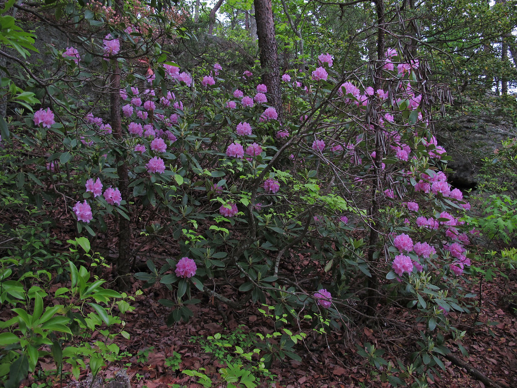 Diamond Lake Bottoms TrailHiking · ~5 min drivePhoto: pmuellr, CC BY 2.0 (via Flickr)
- Indian Creek TrailHiking · ~2 min drivePhoto: pmuellr, CC BY 2.0 (via Flickr)
 Riverbluffs TrailHiking · ~6 min drivePhoto: npdoty, CC BY 2.0 (via Flickr)
- Torys Den TrailHiking · ~2 min drivePhoto: pmuellr, CC BY 2.0 (via Flickr)
- Indian Creek TrailHiking · ~6 min drivePhoto: npdoty, CC BY 2.0 (via Flickr)
 Hanging Rock TrailHiking · ~2 min drivePhoto: npdoty, CC BY 2.0 (via Flickr)
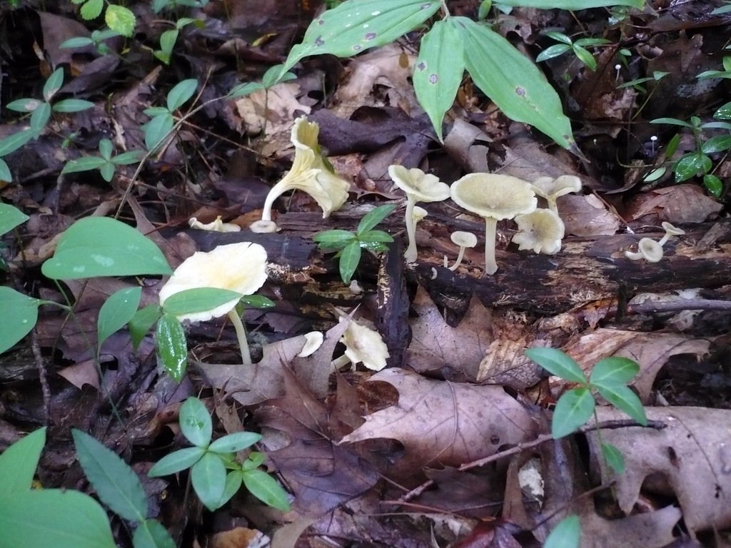 North Wetlands TrailHiking · ~27 min drivePhoto: Sabrina Setaro, CC BY 2.0 (via Flickr)
Also worth it near here
- Wolf RockSummit · Next door
- Hanging Rock State Park CampgroundCamping · Next door
 Circus WallRock climbing · ~2 min drivePhoto: James Willamor, CC BY-SA 2.0 (via Flickr)
 Hidden FallsWaterfall · ~2 min drivePhoto: The original uploader was 5minutes at English Wikipedia., CC BY-SA 2.5 (via Wikimedia Commons)
Best time to visit Wolf Rock Trail
Best months: March–June and August–November. Best months have typical highs of 55–85 °F, lows of 30 °F or warmer (32 °F where the station doesn't record snow), at most one snowy day and no more than 12 wet days.
Jan
48° / 29°
8 wet
Feb
52° / 30°
8 wet
Mar
59° / 36°
9 wet
Apr
70° / 44°
9 wet
May
76° / 55°
11 wet
Jun
84° / 63°
10 wet
Jul
87° / 68°
11 wet
Aug
85° / 66°
10 wet
Sep
79° / 59°
9 wet
Oct
70° / 47°
9 wet
Nov
60° / 36°
8 wet
Dec
51° / 31°
9 wet
Typical high / low (°F) and days with rain or snow, 1991–2020. Measured at Danbury, NC, 6.1 mi away at 1,019 ft. The station sits about 1,000 ft lower than this place, so expect it a little cooler here. This station doesn't record snowfall. Source: NOAA NCEI U.S. Climate Normals 1991–2020.
Route details
- Distance
- 1.3 mi round trip
- Climbing
- About 974 ft
- Summit
- 2,027 ft
- Difficulty
- Moderate
- Time
- About 0.5 hours
Questions about this route
How long is the Wolf Rock Trail on Cole Gap Mountain?
About 1.3 mi round trip.
How much elevation gain is on the Wolf Rock Trail?
About 974 ft of climbing round trip.
How hard is the Wolf Rock Trail?
It is rated moderate.
How long does the Wolf Rock Trail take?
About 0.5 hours round trip.
Map and trail data © OpenStreetMap contributors
