Upper Cove Creek Roadside Campsites
Campground
Campground · 2.1 mi from the trail
 Photo: chascow, CC BY 2.0 (via Flickr)
Closure in the area
There's a closure order in National Forests in North Carolina. It doesn't name Graveyard Fields, so check the source for the area it covers (2 listed).
Maple Sally Road Closure
Agency closure covering National Forests in North Carolina · USFS · National Forests in North Carolina
Table Rock Road construction starts Nov. 2, 2026
Agency closure covering National Forests in North Carolina · USFS · National Forests in North Carolina
Temporary Closure - The Elk Falls Trail
Agency alert covering National Forests in North Carolina · USFS · National Forests in North Carolina
Rainbow Springs Road closed for reconstruction
Agency alert covering National Forests in North Carolina · USFS · National Forests in North Carolina
Siddie Fields Day Use Area closed for improvements
Agency alert covering National Forests in North Carolina · USFS · National Forests in North Carolina
As of · Source: USFS · National Forests in North Carolina. Agencies don't list every closure — check before you go.
Graveyard Fields is a short, easy loop hike on the Blue Ridge Parkway in North Carolina, managed by the National Park Service. The trail is about 2.2 miles long, with a total elevation gain of 99 feet and a total loss of 223 feet. It starts at the Graveyard Fields Overlook MP 418.8 Trailhead and runs within the Pisgah Ranger District of the National Forests in North Carolina. The route is a loop, and the climb is gentle. The steepest stretch comes early on, with a 12% grade at about 0.05 miles. The trail is natural-surfaced, and bikes are allowed. The hike is open year-round and takes about an hour to complete. There is no fee to go. Nearby, the Graveyard Ridge Connector is about 0.2 miles away and Upper Falls about 0.4 miles. For camping, Upper Cove Creek Roadside Campsites is about 2.1 miles off. Climbers can head to Victory Wall, about 3 miles away.
Upper Cove Creek Roadside Campsites
Campground
 If it rainsMx. Granger, CC0 · Wikimedia Commons
Places © OpenStreetMap contributors, Places © Overture Maps Foundation · Photos: Mx. Granger, CC0 (commons)
More in HendersonvilleNot on Roamze yet. Their page has how to reach them.
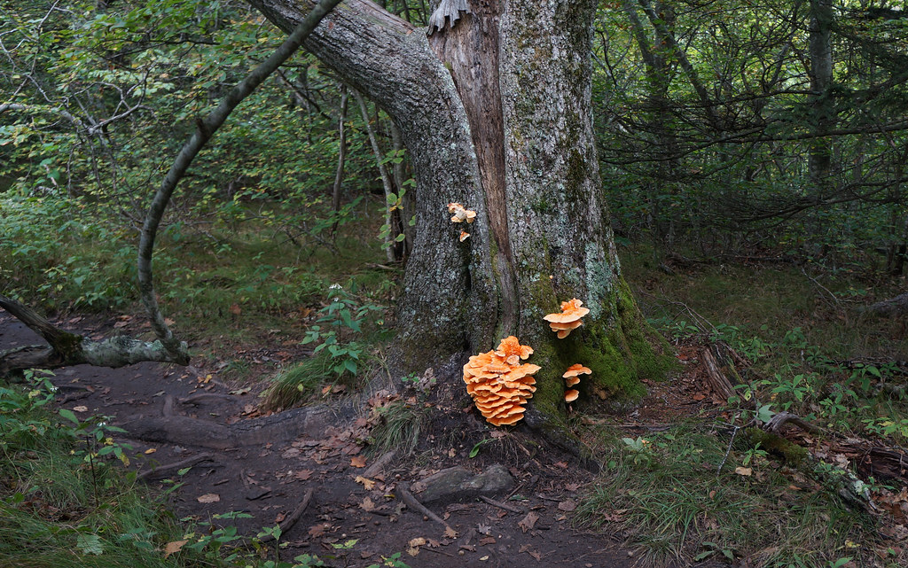 Upper FallsHikingPhoto: pmuellr, CC BY 2.0 (via Flickr)0.4 mi
 Upper Cove Creek Roadside CampsitesCampingPhoto: Wncoutdoors, CC BY-SA 3.0 (via Wikimedia Commons)2.1 mi
 Looking Glass BouldersRock climbingPhoto: Osajus Photography, CC BY 2.0 (via Flickr)3.1 mi
Source: Roamze catalog (indexable pages within 10 miles, PostGIS distance)
Upper FallsHiking · Next doorPhoto: pmuellr, CC BY 2.0 (via Flickr) GRAVEYARD RIDGEHiking · ~2 min drivePhoto: npdoty, CC BY 2.0 (via Flickr)
 Art Loeb NrtHiking · ~3 min drivePhoto: npdoty, CC BY 2.0 (via Flickr)
 Greasy CoveHiking · ~3 min drivePhoto: daveynin, CC BY 2.0 (via Flickr)
 Bridges Camp Gap TrailHiking · ~2 min drivePhoto: kerinin, CC BY-SA 2.0 (via Flickr)
 Graveyard RidgeHiking · ~4 min drivePhoto: jasonferrell, CC BY 2.0 (via Flickr)
 Mst - Pisgah RdHiking · ~3 min drivePhoto: Jordan Mitchell, CC BY-SA 3.0 (via Wikimedia Commons)Case Camp RidgeHiking · ~3 min drivePhoto: Wncoutdoors, CC BY-SA 3.0 (via Wikimedia Commons)Sam Knob SummitHiking · ~4 min drivePhoto: Jordan Mitchell, CC BY-SA 3.0 (via Wikimedia Commons)
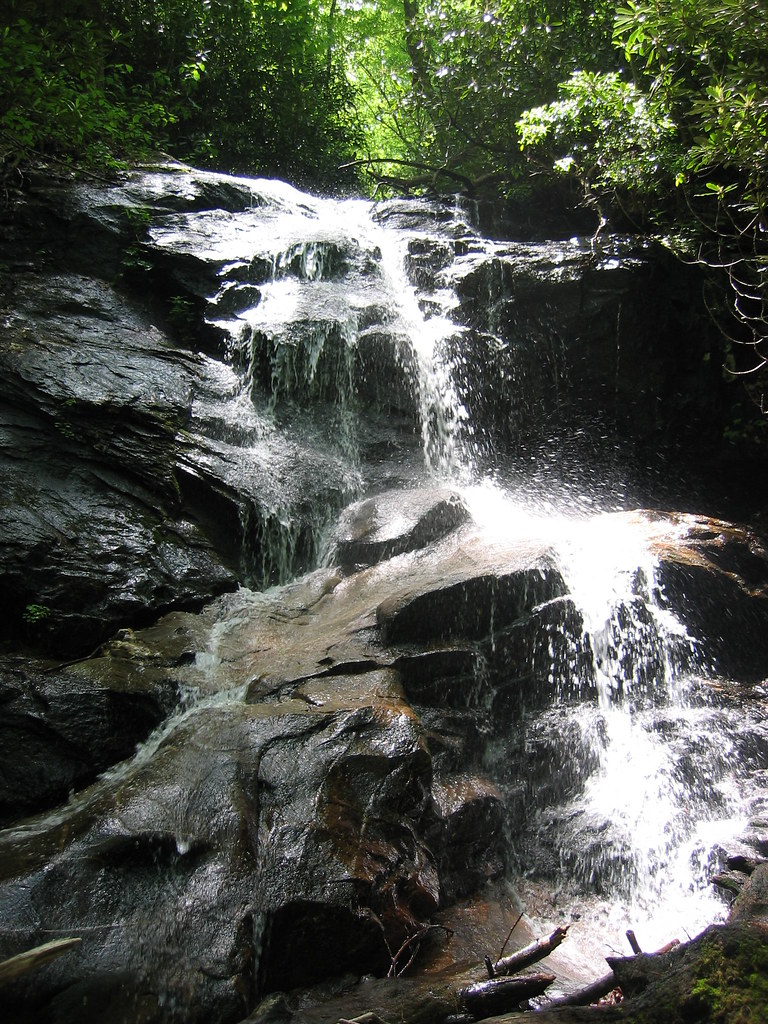 Seniard RidgeHiking · ~4 min drivePhoto: msprague, CC BY-SA 2.0 (via Flickr)
Also worth it near here
 Black Balsam KnobSummit · ~3 min drivePhoto: Badgettrg at en.wikipedia, CC BY-SA 3.0 (via Wikimedia Commons)Upper Cove Creek Roadside CampsitesCamping · ~4 min drivePhoto: Wncoutdoors, CC BY-SA 3.0 (via Wikimedia Commons)Looking Glass BouldersRock climbing · ~5 min drivePhoto: Osajus Photography, CC BY 2.0 (via Flickr)
