Upper Cove Creek Roadside Campsites
Campground
Campground · 1.0 mi from the trail
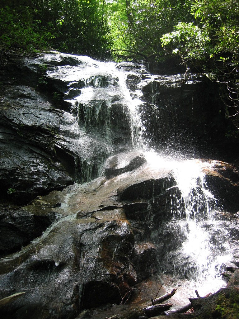 Photo: msprague, CC BY-SA 2.0 (via Flickr)
Caution today
Agency alerts are in effect for this area; weather is good · USFS, OpenWeather · checked 6 h ago
Closure in the area
There's a closure order in National Forests in North Carolina. It doesn't name Seniard Ridge, so check the source for the area it covers (2 listed).
Maple Sally Road Closure
Agency closure covering National Forests in North Carolina · USFS · National Forests in North Carolina
Table Rock Road construction starts Nov. 2, 2026
Agency closure covering National Forests in North Carolina · USFS · National Forests in North Carolina
Temporary Closure - The Elk Falls Trail
Agency alert covering National Forests in North Carolina · USFS · National Forests in North Carolina
Rainbow Springs Road closed for reconstruction
Agency alert covering National Forests in North Carolina · USFS · National Forests in North Carolina
Siddie Fields Day Use Area closed for improvements
Agency alert covering National Forests in North Carolina · USFS · National Forests in North Carolina
As of · Source: USFS · National Forests in North Carolina. Agencies don't list every closure — check before you go.
Seniard Ridge is a 5.05-mile out-and-back hike on a logging road in Tennessee, within the Pisgah Ranger District of the National Forests in North Carolina. The Forest Service manages the land, and the nearest town is Big East Fork, about 3 miles away. The trail connects to the Case Camp Ridge system, and its natural surface makes it a straightforward, moderate woodland walk. The route climbs from about 3,267 feet to roughly 4,684 feet, with a total gain of about 2,023 feet. The steepest stretch comes around mile 2.1, where the grade reaches about 31 percent. That makes the hike a moderate challenge, and the logging road surface gives hikers reliable footing. Bikes are allowed, so the trail works for both walking and riding. The Seniard Ridge Connector lies about 0.3 miles away, and Headwater Road, a mountain biking route, is just as close. Upper Cove Creek Roadside Campsites sit about a mile off, and the Nose Area climbing spot is about 1.4 miles away.
Upper Cove Creek Roadside Campsites
Campground
 If it rainsMx. Granger, CC0 · Wikimedia Commons
Places © OpenStreetMap contributors, Places © Overture Maps Foundation · Photos: Mx. Granger, CC0 (commons)
More in HendersonvilleNot on Roamze yet. Their page has how to reach them.
 SENIARD RIDGE CONNECTORHikingPhoto: Wncoutdoors, CC BY-SA 3.0 (via Wikimedia Commons)0.3 miUpper Cove Creek Roadside CampsitesCampingPhoto: Wncoutdoors, CC BY-SA 3.0 (via Wikimedia Commons)1 mi
 Nose AreaRock climbingPhoto: ninepennies, CC BY-SA 2.0 (via Flickr)1.4 mi
 Looking Glass BouldersRock climbingPhoto: Osajus Photography, CC BY 2.0 (via Flickr)1.5 mi
Source: Roamze catalog (indexable pages within 10 miles, PostGIS distance)
SENIARD RIDGE CONNECTORHiking · Next doorPhoto: Wncoutdoors, CC BY-SA 3.0 (via Wikimedia Commons)Case Camp RidgeHiking · ~2 min drivePhoto: Wncoutdoors, CC BY-SA 3.0 (via Wikimedia Commons) Buckwheat KnobHiking · ~3 min drivePhoto: rharrison, CC BY-SA 2.0 (via Flickr)North FaceHiking · ~2 min drivePhoto: Osajus Photography, CC BY 2.0 (via Flickr)
 Greasy CoveHiking · ~3 min drivePhoto: daveynin, CC BY 2.0 (via Flickr)Perry CoveHiking · ~4 min drivePhoto: rharrison, CC BY-SA 2.0 (via Flickr)SunwallHiking · ~2 min drivePhoto: Osajus Photography, CC BY 2.0 (via Flickr)
 Looking Glass RockHiking · ~5 min drivePhoto: mededeler, CC BY 2.0 (via Flickr)Coontree LoopHiking · ~5 min drivePhoto: rharrison, CC BY-SA 2.0 (via Flickr)
 Bridges Camp Gap TrailHiking · ~2 min drivePhoto: kerinin, CC BY-SA 2.0 (via Flickr)
