Gary Shell Cross City Trail
- 0.8 mi
- round trip
- 48 ft
- climb
- 49 ft
- high point
- Out and back
- route
- Sep–May
- best months
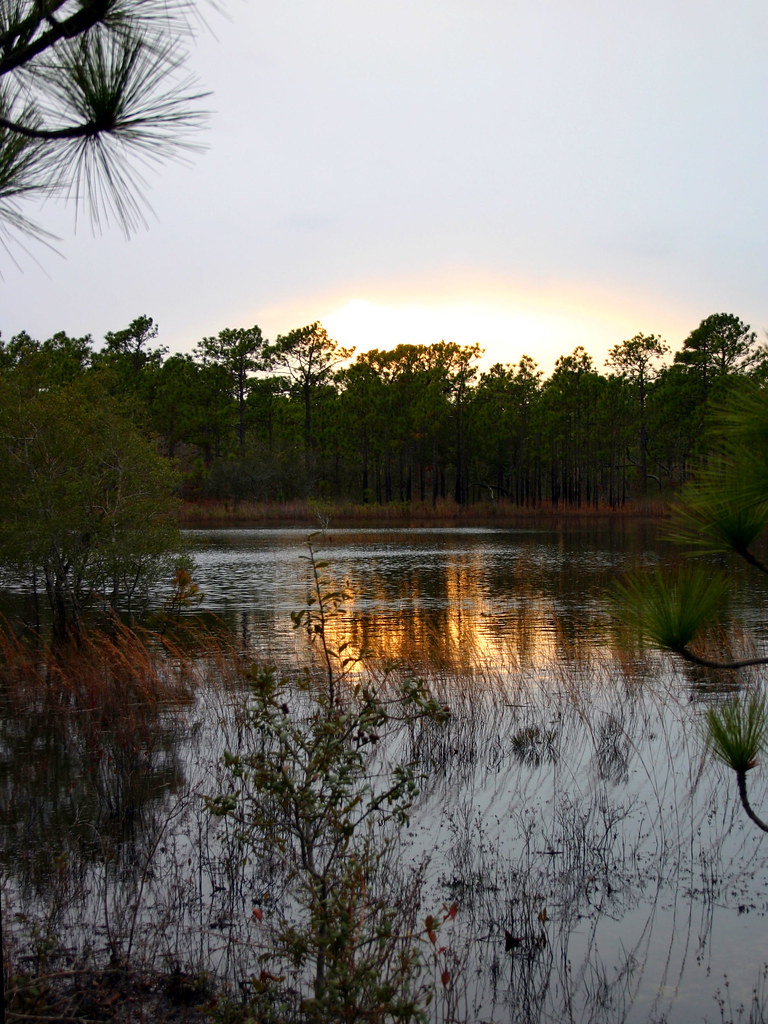
The Gary Shell Cross City Trail is an easy 0.83-mile hike on county land in North Carolina, set on the Dobo Property just a short walk from the center of town. The route is an out-and-back of about 1.7 miles, with a total of 48 feet of elevation gain and loss, so you can expect to stay roughly flat throughout. Spring and fall are the most comfortable times to go. Typical averages from a nearby weather station show October highs around 76°F with lows near 56°F, and April runs about 74°F by day with lows around 51°F. Summer is hot, with July highs averaging 90°F. Wade Park Loop starts just 0.1 mile away, and Green Trail lies about 1.7 miles off. Outer Loop is about 2.1 miles away, and the Wilmington Riverwalk is roughly 5.4 miles away.
- Wade Park LoopHiking0.1 mi
- green trailHiking1.7 mi
- Outer LoopHiking2.1 mi
 Chancellors WalkHikingPhoto: brokewithabachelor's, Public Domain Mark (via Flickr)3.3 mi
 Wilmington RiverwalkHikingPhoto: James Roberts (Jampp…, CC BY-SA 3.0 (via Wikimedia Commons)5.4 mi
- Long Leaf TrailHiking7 mi
 Canebrake TrailHikingPhoto: ncwetlands.org, Public Domain Dedication (CC0) (via Flickr)7.3 mi
- Gator TrailHikingPhoto: ncwetlands.org, Public Domain Dedication (CC0) (via Flickr)7.4 mi
Source: Roamze catalog (indexable pages within 10 miles, PostGIS distance)
- Chancellors WalkHiking · ~6 min drivePhoto: brokewithabachelor's, Public Domain Mark (via Flickr)
- Wilmington RiverwalkHiking · ~9 min drivePhoto: James Roberts (Jampp…, CC BY-SA 3.0 (via Wikimedia Commons)
- Canebrake TrailHiking · ~13 min drivePhoto: ncwetlands.org, Public Domain Dedication (CC0) (via Flickr)
- Gator TrailHiking · ~13 min drivePhoto: ncwetlands.org, Public Domain Dedication (CC0) (via Flickr)
- Dogwood TrailHiking · ~13 min drivePhoto: ncwetlands.org, Public Domain Dedication (CC0) (via Flickr)
 Snow's Cut TrailHiking · ~15 min drivePhoto: chris.peplin, CC BY 2.0 (via Flickr)
- Campground TrailHiking · ~16 min drivePhoto: chris.peplin, CC BY 2.0 (via Flickr)
- Fitness TrailHiking · ~16 min drivePhoto: chris.peplin, CC BY 2.0 (via Flickr)
 Sugarloaf TrailHiking · ~16 min drivePhoto: rharrison, CC BY-SA 2.0 (via Flickr)
- Sugarloaf TrailHiking · ~16 min drivePhoto: rharrison, CC BY-SA 2.0 (via Flickr)
Best time to visit Gary Shell Cross City Trail
Best months: September–May. Best months have typical highs of 55–85 °F, lows of 30 °F or warmer (32 °F where the station doesn't record snow), at most one snowy day and no more than 12 wet days.
Jan
56° / 36°
10 wet
Feb
59° / 38°
9 wet
Mar
66° / 44°
9 wet
Apr
74° / 51°
8 wet
May
80° / 62°
9 wet
Jun
87° / 69°
10 wet
Jul
90° / 74°
11 wet
Aug
89° / 72°
11 wet
Sep
85° / 67°
9 wet
Oct
76° / 56°
8 wet
Nov
66° / 44°
8 wet
Dec
60° / 38°
10 wet
Typical high / low (°F) and days with rain or snow, 1991–2020. Measured at Wilmington 7 Se, NC, 2.4 mi away at 30 ft. This station doesn't record snowfall. Source: NOAA NCEI U.S. Climate Normals 1991–2020.
Map and trail data © OpenStreetMap contributors
