Sugarloaf Trail
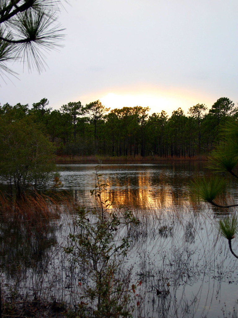 Photo: rharrison, CC BY-SA 2.0 (via Flickr)
- 0.5 mi
- round trip
- 55 ft
- climb
- 39 ft
- high point
- Out and back
- route
- Oct–May
- best months
Sugarloaf Trail is a short, easy hike in North Carolina, about 1.5 miles from the town of Carolina Beach. The route is an out-and-back of about 1.1 miles, with a total climb of about 55 feet and a steepest grade of about 3% near the middle of the trail. It's a flat, low-elevation walk, with the trail's highest point at about 39 feet and the lowest at about 11 feet. Spring and fall are the most comfortable times to go. Typical averages from a nearby weather station in Southport show October highs around 79°F with lows near 54°F, and April highs around 76°F. Midsummer highs there reach the low 90s. Several other short trails sit close by. Oak Toe Trail is about 0.2 miles away, Sand Live Oak Trail about 0.4 miles, and Snow's Cut Trail about 0.5 miles. Campground Trail is about 0.6 miles off.
- Oak Toe TrailHikingPhoto: rharrison, CC BY-SA 2.0 (via Flickr)0.2 mi
- Sand Live Oak TrailHiking0.4 mi
 Snow's Cut TrailHikingPhoto: chris.peplin, CC BY 2.0 (via Flickr)0.5 mi
- Campground TrailHikingPhoto: chris.peplin, CC BY 2.0 (via Flickr)0.6 mi
- Fitness TrailHikingPhoto: chris.peplin, CC BY 2.0 (via Flickr)0.9 mi
- Ramsgate TrailHiking5.5 mi
- Basin TrailHiking6 mi
Source: Roamze catalog (indexable pages within 10 miles, PostGIS distance)
- Sugarloaf TrailHiking · Next doorPhoto: rharrison, CC BY-SA 2.0 (via Flickr)
- Oak Toe TrailHiking · Next doorPhoto: rharrison, CC BY-SA 2.0 (via Flickr)
- Snow's Cut TrailHiking · Next doorPhoto: chris.peplin, CC BY 2.0 (via Flickr)
- Campground TrailHiking · ~1 min drivePhoto: chris.peplin, CC BY 2.0 (via Flickr)
- Fitness TrailHiking · ~1 min drivePhoto: chris.peplin, CC BY 2.0 (via Flickr)
 Dogwood TrailHiking · ~14 min drivePhoto: ncwetlands.org, Public Domain Dedication (CC0) (via Flickr)
- Canebrake TrailHiking · ~14 min drivePhoto: ncwetlands.org, Public Domain Dedication (CC0) (via Flickr)
- Gator TrailHiking · ~15 min drivePhoto: ncwetlands.org, Public Domain Dedication (CC0) (via Flickr)
 Chancellors WalkHiking · ~22 min drivePhoto: brokewithabachelor's, Public Domain Mark (via Flickr)
 Wilmington RiverwalkHiking · ~22 min drivePhoto: James Roberts (Jampp…, CC BY-SA 3.0 (via Wikimedia Commons)
Best time to visit Sugarloaf Trail
Best months: October–May. Best months have typical highs of 55–85 °F, lows of 30 °F or warmer (32 °F where the station doesn't record snow), at most one snowy day and no more than 12 wet days.
Jan
60° / 35°
8 wet
Feb
62° / 38°
8 wet
Mar
68° / 43°
8 wet
Apr
76° / 51°
7 wet
May
83° / 60°
8 wet
Jun
88° / 69°
9 wet
Jul
92° / 73°
10 wet
Aug
90° / 71°
11 wet
Sep
87° / 66°
9 wet
Oct
79° / 54°
7 wet
Nov
70° / 44°
7 wet
Dec
63° / 38°
9 wet
Typical high / low (°F) and days with rain or snow, 1991–2020. Measured at Southport 5 N, NC, 6.2 mi away at 20 ft. This station doesn't record snowfall. Source: NOAA NCEI U.S. Climate Normals 1991–2020.
Map and trail data © OpenStreetMap contributors
