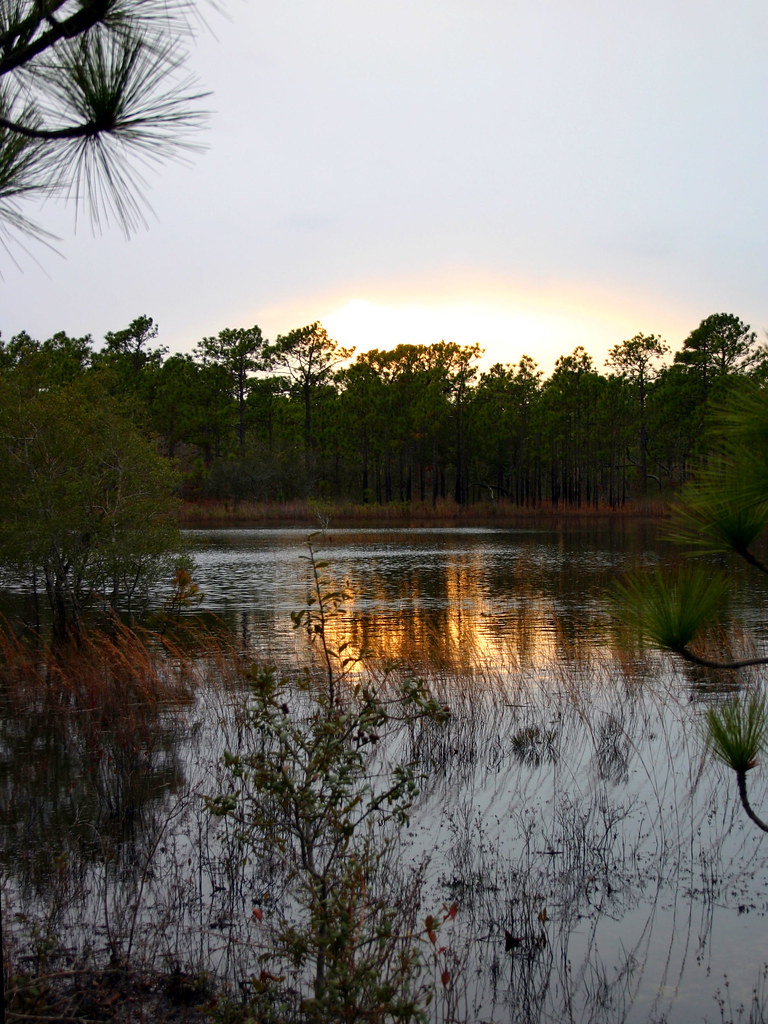
Gator Trail
 Photo: ncwetlands.org, Public Domain Dedication (CC0) (via Flickr)
- 1.2 mi
- loop
- 165 ft
- climb
- 53 ft
- high point
- Loop
- route
- Sep–May
- best months
Gator Trail is a 1.2-mile loop hike in Brunswick County Open Space in North Carolina. The trail rises from a low point of 12 feet to a high of 53 feet, with a total elevation gain of 165 feet, and it's rated easy. The climb is back-loaded, with the steepest stretch at about 0.9 miles in, where the grade reaches 4 percent. The route is short and gentle, making it an easy addition to a morning or afternoon spent on the surrounding network of trails. For comfortable weather, aim for spring or fall. Typical averages from a nearby weather station show April highs around 74°F and October highs around 76°F, while July averages about 90°F with lows in the mid-70s. Canebrake Trail and Live Oak Trail both start within a third of a mile. Dogwood Trail and Long Leaf Trail are a little farther away. Paddlers can reach Rice Creek about 3.7 miles off.
- Canebrake TrailHikingPhoto: ncwetlands.org, Public Domain Dedication (CC0) (via Flickr)0.2 mi
- Live Oak TrailHiking0.3 mi
- Dogwood TrailHikingPhoto: ncwetlands.org, Public Domain Dedication (CC0) (via Flickr)0.4 mi
- Long Leaf TrailHiking0.6 mi
- Rice CreekCanoeing3.7 mi
- green trailHiking5.8 mi
- Mill CreekCanoeing5.8 mi
- Town CreekCanoeing8.5 mi
Source: Roamze catalog (indexable pages within 10 miles, PostGIS distance)
- Canebrake TrailHiking · Next doorPhoto: ncwetlands.org, Public Domain Dedication (CC0) (via Flickr)
- Dogwood TrailHiking · Next doorPhoto: ncwetlands.org, Public Domain Dedication (CC0) (via Flickr)
 Wilmington RiverwalkHiking · ~11 min drivePhoto: James Roberts (Jampp…, CC BY-SA 3.0 (via Wikimedia Commons)
 Snow's Cut TrailHiking · ~14 min drivePhoto: chris.peplin, CC BY 2.0 (via Flickr)
 Sugarloaf TrailHiking · ~15 min drivePhoto: rharrison, CC BY-SA 2.0 (via Flickr)
- Oak Toe TrailHiking · ~15 min drivePhoto: rharrison, CC BY-SA 2.0 (via Flickr)
- Sugarloaf TrailHiking · ~15 min drivePhoto: rharrison, CC BY-SA 2.0 (via Flickr)
- Campground TrailHiking · ~15 min drivePhoto: chris.peplin, CC BY 2.0 (via Flickr)
- Fitness TrailHiking · ~15 min drivePhoto: chris.peplin, CC BY 2.0 (via Flickr)
 Chancellors WalkHiking · ~16 min drivePhoto: brokewithabachelor's, Public Domain Mark (via Flickr)
Best time to visit Gator Trail
Best months: September–May. Best months have typical highs of 55–85 °F, lows of 30 °F or warmer (32 °F where the station doesn't record snow), at most one snowy day and no more than 12 wet days.
Jan
56° / 36°
10 wet
Feb
59° / 38°
9 wet
Mar
66° / 44°
9 wet
Apr
74° / 51°
8 wet
May
80° / 62°
9 wet
Jun
87° / 69°
10 wet
Jul
90° / 74°
11 wet
Aug
89° / 72°
11 wet
Sep
85° / 67°
9 wet
Oct
76° / 56°
8 wet
Nov
66° / 44°
8 wet
Dec
60° / 38°
10 wet
Typical high / low (°F) and days with rain or snow, 1991–2020. Measured at Wilmington 7 Se, NC, 7.1 mi away at 30 ft. This station doesn't record snowfall. Source: NOAA NCEI U.S. Climate Normals 1991–2020.
Map and trail data © OpenStreetMap contributors
