FR TR HQ/Lost Colony Admin Bldg Trail
- 1.1 mi
- round trip
- 210 ft
- climb
- 22 ft
- high point
- Out and back
- route
- Mar–Jun, Aug–Dec
- best months
Is FR TR HQ/Lost Colony Admin Bldg Trail open right now?
No closures listed
The National Park Service lists no closures for Fort Raleigh National Historic Site.
As of · Source: NPS · Fort Raleigh National Historic Site. Agencies don't list every closure — check before you go.
The FR TR HQ/Lost Colony Admin Bldg Trail is a short, easy out-and-back hike of about 2.3 miles within Fort Raleigh National Historic Site in North Carolina, managed by the National Park Service. The route rises only about 13 feet from its low point of 1 foot to a high of 22 feet, with the steepest stretch at about 0.23 miles in, where the grade reaches 3 percent. The trail is a brief walk rather than a climb, and it makes a simple addition to a visit to the site's administrative buildings. Spring and fall are the most comfortable times to go. Typical averages from the nearby Manteo airport weather station show October highs around 71°F with lows near 58°F, and May highs around 75°F. The station sits at nearly the same elevation as the trail, so those figures are a fair guide to conditions on the route. The FR TR Freedmens Trail lies about 1.1 miles away, and the WB TR Historic Monument Trails are about 6 miles off. The Creef Cut Wildlife Trail is roughly 10 miles from the trail.
Local outfitters
- Equine Adventures48 mi away
Not on Roamze yet. Their page has how to reach them.
- FR TR Freedmens TrailHiking1.1 mi
- WB TR Historic Monument TrailsHiking6 mi
 Creef Cut Wildlife TrailHikingPhoto: NCDOTcommunications, CC BY 2.0 (via Wikimedia Commons)10 mi
Source: Roamze catalog (indexable pages within 10 miles, PostGIS distance)
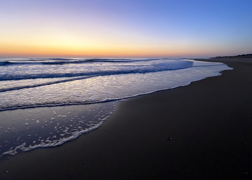 BI TR Whalebone US Coast Survey TrailHiking · ~12 min drivePhoto: Suzie Tremmel, CC BY 2.0 (via Flickr)
- Creef Cut Wildlife TrailHiking · ~17 min drivePhoto: NCDOTcommunications, CC BY 2.0 (via Wikimedia Commons)
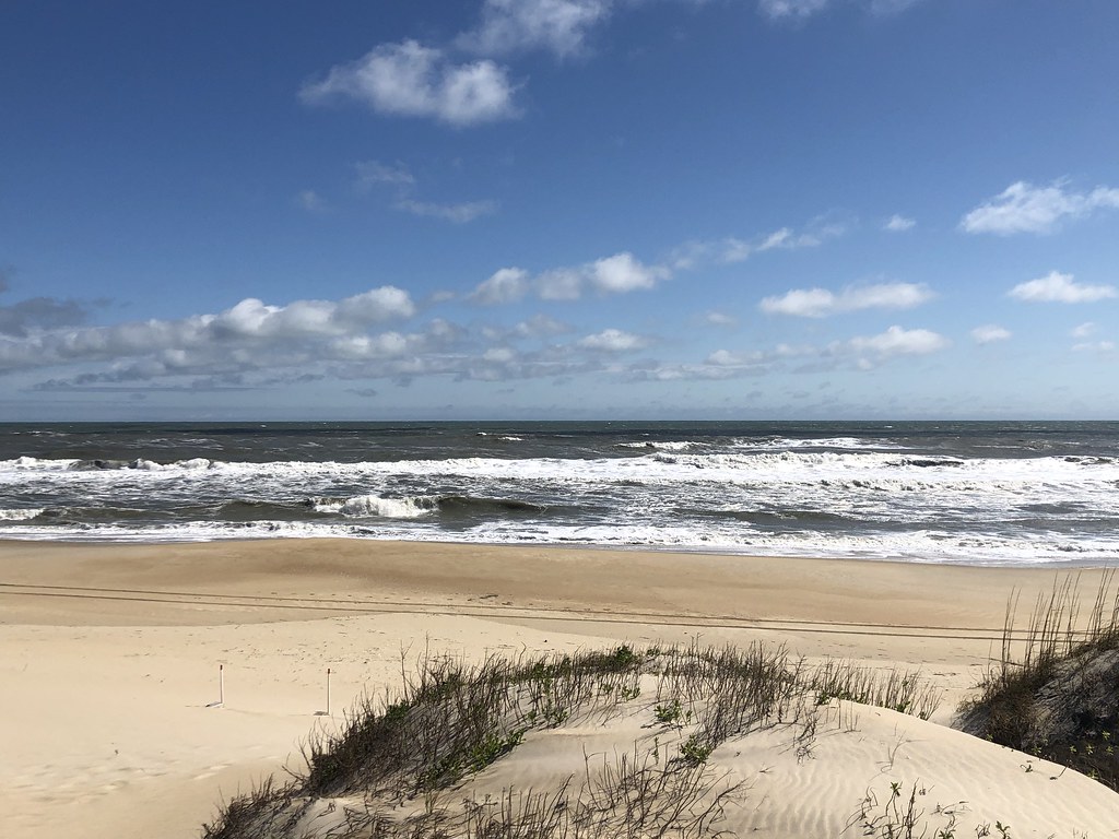 BI BW Coquina BoardwalkHiking · ~20 min drivePhoto: CapeHatterasNPS, Public Domain Mark (via Flickr)
 BI TR Off Island TrailHiking · ~20 min drivePhoto: Don Henise, CC BY 2.0 (via Flickr)
 Sandy Ridge Wildlife TrailHiking · ~23 min drivePhoto: harrier, CC BY 4.0 (via Wikimedia Commons)
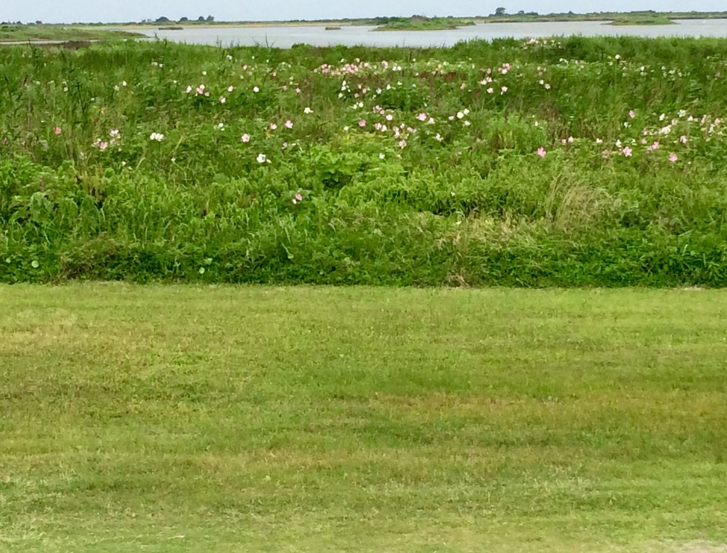 Pea Island Refuge BoardwalkHiking · ~34 min drivePhoto: amerune, CC BY 2.0 (via Flickr)
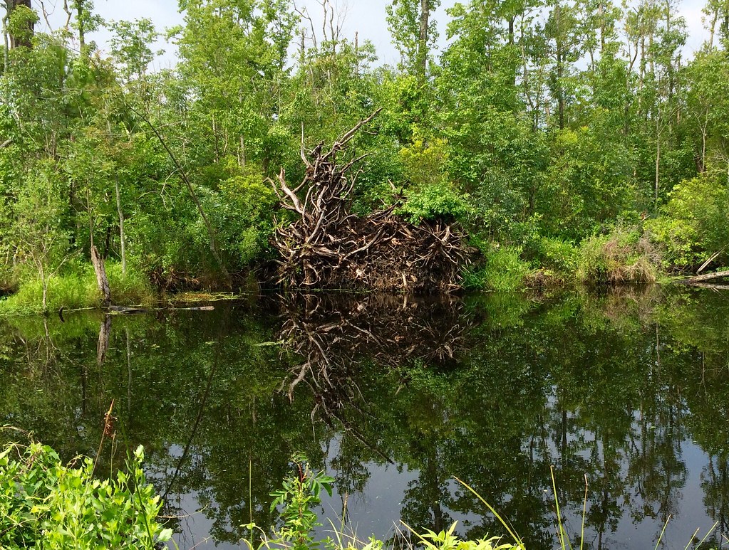 Scuppernong River Interpretive BoardwalkHiking · ~52 min drivePhoto: amerune, CC BY 2.0 (via Flickr)
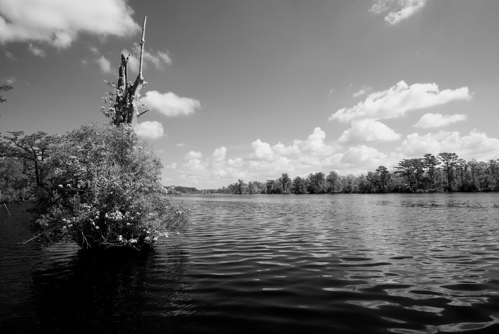 Fenwick-Hollowell Wetlands TrailHiking · ~1h 7m drivePhoto: naql, CC BY 2.0 (via Flickr)
 Morotoc TrailHiking · ~1h 20m drivePhoto: Todd Lewis, CC BY-SA 3.0 (via Wikimedia Commons)
 North TrailHiking · ~1h 22m drivePhoto: Ken Lund, CC BY-SA 2.0 (via Flickr)
Best time to visit FR TR HQ/Lost Colony Admin Bldg Trail
Best months: March–June and August–December. Best months have typical highs of 55–85 °F, lows of 30 °F or warmer (32 °F where the station doesn't record snow), at most one snowy day and no more than 12 wet days.
Jan
51° / 36°
8 wet
Feb
52° / 37°
7 wet
Mar
59° / 43°
8 wet
Apr
68° / 51°
7 wet
May
75° / 60°
7 wet
Jun
82° / 69°
7 wet
Jul
86° / 73°
9 wet
Aug
84° / 72°
8 wet
Sep
79° / 69°
6 wet
Oct
71° / 58°
6 wet
Nov
61° / 48°
6 wet
Dec
55° / 40°
7 wet
Typical high / low (°F) and days with rain or snow, 1991–2020. Measured at Manteo Ap, NC, 1.6 mi away at 13 ft. Source: NOAA NCEI U.S. Climate Normals 1991–2020.
