Scuppernong River Interpretive Boardwalk
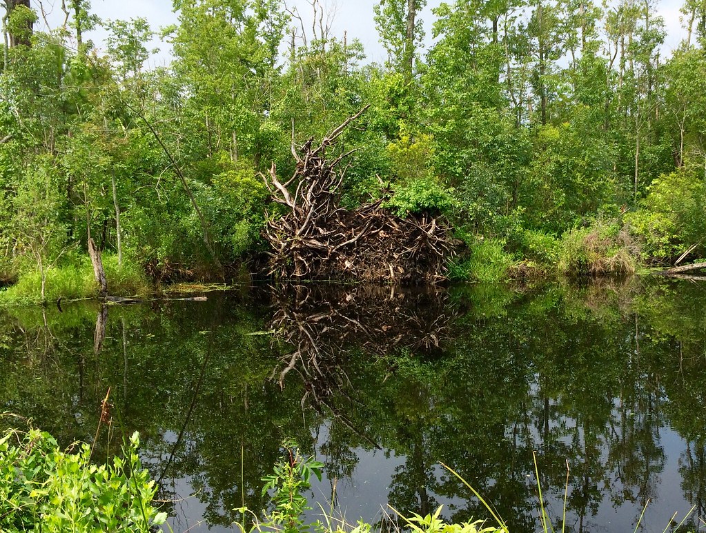 Photo: amerune, CC BY 2.0 (via Flickr)
- 0.5 mi
- loop
- 32 ft
- climb
- 10 ft
- high point
- Loop
- route
- Feb–Jun, Sep–Dec
- best months
Clear at last check
Weather is good · OpenWeather · checked 18 h ago
The Scuppernong River Interpretive Boardwalk is a short, easy walk of about half a mile, with a total elevation gain of 32 feet. It starts and ends at nearly the same level, rising to a high point of about 10 feet. The boardwalk sits just 0.2 miles from the town of Columbia, North Carolina, making it an easy stop for anyone already in town. Spring and fall are the most comfortable times to visit. Typical averages from a nearby weather station show October highs around 73°F with lows near 52°F, and April highs around 70°F with lows near 47°F. Summer runs hotter, with July highs averaging about 88°F. The walk takes about half an hour, so it fits easily into a short outing.
 Morotoc TrailHiking · ~30 min drivePhoto: Todd Lewis, CC BY-SA 3.0 (via Wikimedia Commons)
 Sandy Ridge Wildlife TrailHiking · ~34 min drivePhoto: harrier, CC BY 4.0 (via Wikimedia Commons)
 Creef Cut Wildlife TrailHiking · ~38 min drivePhoto: NCDOTcommunications, CC BY 2.0 (via Wikimedia Commons)
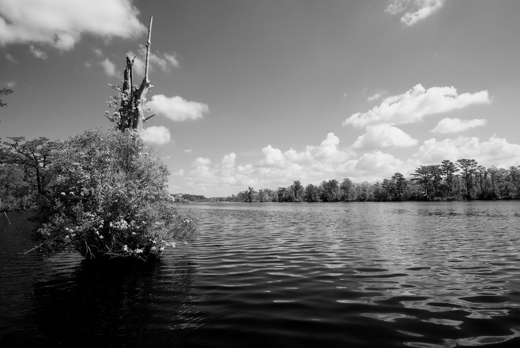 Fenwick-Hollowell Wetlands TrailHiking · ~49 min drivePhoto: naql, CC BY 2.0 (via Flickr)
 BI TR Whalebone US Coast Survey TrailHiking · ~1h 3m drivePhoto: Suzie Tremmel, CC BY 2.0 (via Flickr)
 BI TR Off Island TrailHiking · ~1h 7m drivePhoto: Don Henise, CC BY 2.0 (via Flickr)
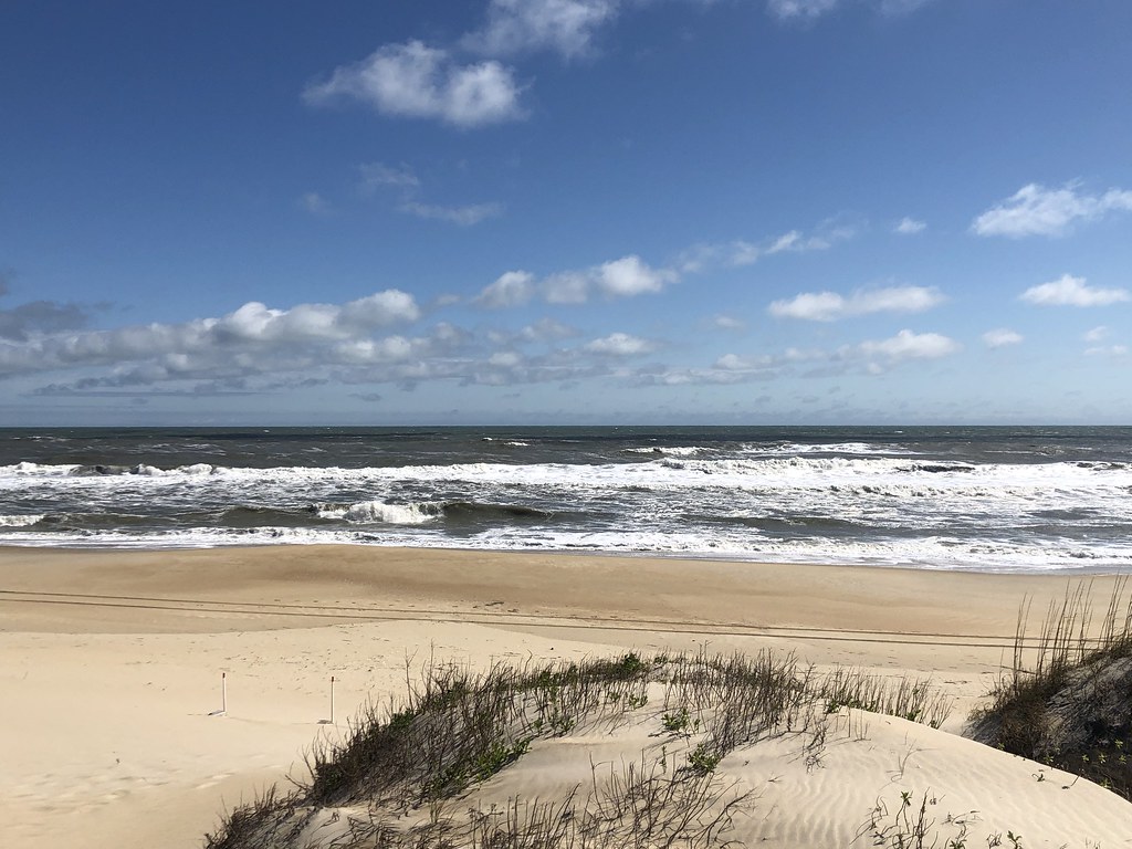 BI BW Coquina BoardwalkHiking · ~1h 8m drivePhoto: CapeHatterasNPS, Public Domain Mark (via Flickr)
 Supple Jack TrailHiking · ~1h 11m drivePhoto: beth910, CC BY-SA 2.0 (via Flickr)
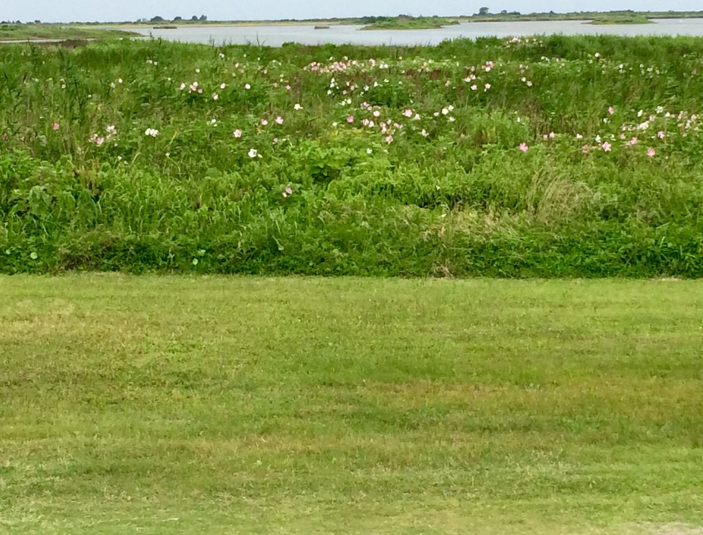 Pea Island Refuge BoardwalkHiking · ~1h 17m drivePhoto: amerune, CC BY 2.0 (via Flickr)
- Lake Shore TrailHiking · ~21 min drive
Best time to visit Scuppernong River Interpretive Boardwalk
Best months: February–June and September–December. Best months have typical highs of 55–85 °F, lows of 30 °F or warmer (32 °F where the station doesn't record snow), at most one snowy day and no more than 12 wet days.
Jan
53° / 33°
Feb
55° / 32°
Mar
61° / 39°
Apr
70° / 47°
May
78° / 58°
Jun
84° / 66°
Jul
88° / 70°
Aug
86° / 69°
Sep
82° / 63°
Oct
73° / 52°
Nov
64° / 42°
Dec
57° / 36°
Typical high / low (°F) and days with rain or snow, 1991–2020. Measured at Columbia Ag Gum Neck, NC, 15.8 mi away at 10 ft. This station doesn't record snowfall. Source: NOAA NCEI U.S. Climate Normals 1991–2020.
Map and trail data © OpenStreetMap contributors
