Morotoc Trail
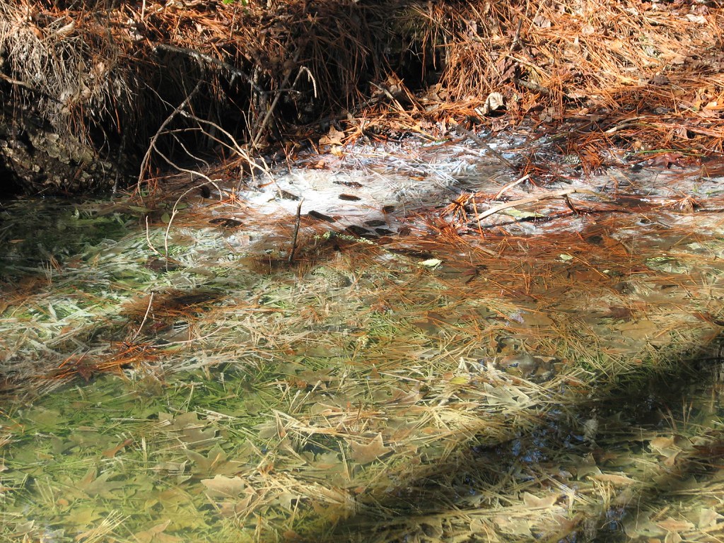
 Photo: Todd Lewis, CC BY-SA 3.0 (via Wikimedia Commons)
- 1.4 mi
- round trip
- 52 ft
- climb
- 31 ft
- high point
- Out and back
- route
- Feb–May, Sep–Dec
- best months
Morotoc Trail is a short, easy hike in North Carolina, about 1.4 miles in length, with a round-trip elevation gain of about 52 feet. The trail is an out-and-back route that starts and ends at roughly 27 feet, and it stays almost flat the whole way. The high point on the route is about 31 feet, and the low point is about 12 feet. The nearest town is Galilee Mission, about 6.7 miles away. Spring and fall are the most comfortable times to go. Typical averages from a nearby weather station show April highs around 74°F and October highs around 75°F, with fewer wet days than in midsummer, when July and August average highs in the upper 80s. The trip takes about an hour. The trail is easy enough to fit into a short outing, and it works well as a stop before or after exploring other nearby trails. Lake Shore Trail is about 6 miles away, and Duck Pen Wildlife Trail, Bee Tree Trail and Cemetary Trail are each within about 7 miles.
- Lake Shore TrailHiking6.1 mi
- Duck Pen Wildlife TrailHiking6.5 mi
- Bee Tree TrailHiking6.6 mi
- Cemetary TrailHiking6.7 mi
Source: Roamze catalog (indexable pages within 10 miles, PostGIS distance)
 Scuppernong River Interpretive BoardwalkHiking · ~30 min drivePhoto: amerune, CC BY 2.0 (via Flickr)
 Pamlico BoardwalkHiking · ~52 min drivePhoto: bobistraveling, CC BY 2.0 (via Flickr)
 Goose Creek TrailHiking · ~53 min drivePhoto: ncwetlands.org, Public Domain Dedication (CC0) (via Flickr)
 Goose Creek TrailHiking · ~54 min drivePhoto: ncwetlands.org, Public Domain Dedication (CC0) (via Flickr)
 Sandy Ridge Wildlife TrailHiking · ~58 min drivePhoto: harrier, CC BY 4.0 (via Wikimedia Commons)
 Creef Cut Wildlife TrailHiking · ~1h 4m drivePhoto: NCDOTcommunications, CC BY 2.0 (via Wikimedia Commons)
 Fenwick-Hollowell Wetlands TrailHiking · ~1h 10m drivePhoto: naql, CC BY 2.0 (via Flickr)
- Lake Shore TrailHiking · ~10 min drive
- Duck Pen Wildlife TrailHiking · ~11 min drive
- Bee Tree TrailHiking · ~11 min drive
Best time to visit Morotoc Trail
Best months: February–May and September–December. Best months have typical highs of 55–85 °F, lows of 30 °F or warmer (32 °F where the station doesn't record snow), at most one snowy day and no more than 12 wet days.
Jan
54° / 34°
12 wet
Feb
57° / 35°
11 wet
Mar
64° / 41°
11 wet
Apr
74° / 49°
11 wet
May
80° / 58°
11 wet
Jun
86° / 66°
11 wet
Jul
89° / 70°
13 wet
Aug
88° / 69°
13 wet
Sep
83° / 64°
11 wet
Oct
75° / 53°
10 wet
Nov
64° / 42°
10 wet
Dec
57° / 37°
11 wet
Typical high / low (°F) and days with rain or snow, 1991–2020. Measured at Plymouth 5 E, NC, 9.8 mi away at 20 ft. Source: NOAA NCEI U.S. Climate Normals 1991–2020.
Map and trail data © OpenStreetMap contributors
