Falls Trail
- 0.3 mi
- round trip
- 291 ft
- climb
- 2,968 ft
- high point
- Out and back
- route
- Mar–May, Sep–Nov
- best months
Falls Trail is a short, easy out-and-back hike in North Carolina, about 2.3 miles from the town of Turnpike. The trail is roughly 0.68 miles long, and it starts at about 2,820 feet, rising to a high point of 2,968 feet. The climb is front-loaded, with the steepest part coming about a fifth of the way in, at a 14% grade. The total elevation gain is about 291 feet, so the round trip gains and loses roughly the same. The most comfortable time to go is late spring or early fall. Typical averages from a nearby weather station in Candler show May highs around 75°F and October highs around 68°F. That station sits well below the trail, so temperatures on the higher ground run cooler. The trip takes about half an hour. Within a few miles you can find Hominy Creek for canoeing, the Quartz Mtn Trail for another hike, and the Southern Mountains Region climbing area. South Hominy Creek, a second paddling option, is just over 6 miles away.
Local outfitters
- Panther Creek Outfitters Horseback Rides11 mi away
- Nantahala Outdoor Center19 mi away
Not on Roamze yet. Their page has how to reach them.
- Hominy CreekCanoeing3 mi
- Quartz Mtn TrailHiking5.5 mi
- Southern Mountains RegionRock climbing5.9 mi
- Newfound CreekCanoeing6.5 mi
- South Hominy CreekCanoeing6.7 mi
- brown knob trailHiking8.3 mi
- Boyd Logging TrailHiking9.1 mi
- Stony BaldRock climbing9.6 mi
Source: Roamze catalog (indexable pages within 10 miles, PostGIS distance)
 Mount Pisgah TrailHiking · ~18 min drivePhoto: w_lemay, CC BY-SA 2.0 (via Flickr)
 Mount PisgahHiking · ~18 min drivePhoto: w_lemay, CC BY-SA 2.0 (via Flickr)
 Explorer LoopHiking · ~18 min drivePhoto: daveynin, CC BY 2.0 (via Flickr)
 cold knob boundary trailHiking · ~18 min drivePhoto: Clexow, CC BY-SA 2.0 (via Flickr)
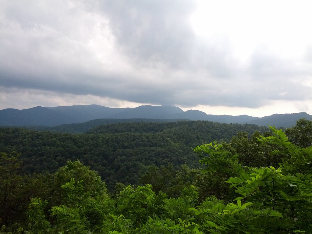 Bent Creek TrailHiking · ~18 min drivePhoto: Clexow, CC BY-SA 2.0 (via Flickr)
- North BoundaryHiking · ~17 min drive
- cold knob ridgeHiking · ~18 min drivePhoto: Clexow, CC BY-SA 2.0 (via Flickr)
- pine mountain trailHiking · ~18 min drivePhoto: Clexow, CC BY-SA 2.0 (via Flickr)
- Chestnut Cove TrailHiking · ~19 min drivePhoto: daveynin, CC BY 2.0 (via Flickr)
 Sleepy Gap TrailHiking · ~19 min drivePhoto: daveynin, CC BY 2.0 (via Flickr)
Best time to visit Falls Trail
Best months: March–May and September–November. Best months have typical highs of 55–85 °F, lows of 30 °F or warmer (32 °F where the station doesn't record snow), at most one snowy day and no more than 12 wet days.
Jan
48° / 25°
10 wet
Feb
52° / 28°
10 wet
Mar
59° / 34°
12 wet
Apr
68° / 41°
11 wet
May
75° / 50°
12 wet
Jun
81° / 58°
13 wet
Jul
83° / 62°
14 wet
Aug
82° / 61°
13 wet
Sep
77° / 55°
10 wet
Oct
68° / 43°
9 wet
Nov
59° / 33°
9 wet
Dec
51° / 28°
10 wet
Typical high / low (°F) and days with rain or snow, 1991–2020. Measured at Candler 1 W, NC, 5.2 mi away at 2,240 ft. The station sits about 700 ft lower than this place, so expect it a little cooler here. This station doesn't record snowfall. Source: NOAA NCEI U.S. Climate Normals 1991–2020.

Map and trail data © OpenStreetMap contributors
