Fork Swamp Trail
- 1.9 mi
- round trip
- 456 ft
- climb
- 126 ft
- high point
- Out and back
- route
- Feb–May, Sep–Dec
- best months
Fork Swamp Trail is a short, easy out-and-back hike in North Carolina, about 0.4 miles from the community of Cannon Crossroads. The trail is roughly 3.9 miles long, with a total elevation gain of 456 feet, and it is rated easy. The route is a steady climb, with the steepest stretch at about 0.63 miles in, where the grade reaches 9 percent. The trail starts at an elevation of 57 feet and reaches a high point of 126 feet before returning to the starting level. The round trip takes about 1.5 hours. Spring and fall are the most comfortable times to go. Typical averages from a nearby weather station in Greenville, North Carolina, show October highs around 74°F with lows near 52°F, while July highs average about 90°F. Several other trails lie within a few miles, including Cypress Loop at 4.7 miles, Wetlands Loop at 4.9 miles and Wildwood West Outer Loop Trail at 4.9 miles. Paddlers can head to Swift Creek, about 7.2 miles away.
- Cypress LoopHiking4.7 mi
- Wetlands LoopHiking4.9 mi
- Wildwood West Outer Loop TrailHiking4.9 mi
- High Ground LoopHiking5 mi
- Wildwood TrailHiking5.1 mi
- Boardwalk LoopHiking5.1 mi
- Swift CreekCanoeing7.2 mi
- Bird Trail D - YellowHiking9.8 mi
Source: Roamze catalog (indexable pages within 10 miles, PostGIS distance)
 Goose Creek TrailHiking · ~46 min drivePhoto: ncwetlands.org, Public Domain Dedication (CC0) (via Flickr)
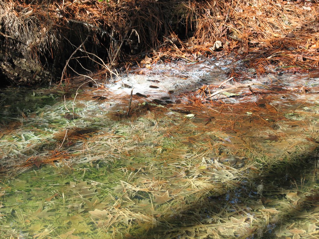 Pamlico BoardwalkHiking · ~47 min drivePhoto: bobistraveling, CC BY 2.0 (via Flickr)
 Goose Creek TrailHiking · ~47 min drivePhoto: ncwetlands.org, Public Domain Dedication (CC0) (via Flickr)
 Spanish Moss TrailHiking · ~1h 1m drivePhoto: Gerry Dincher, CC BY-SA 2.0 (via Flickr)
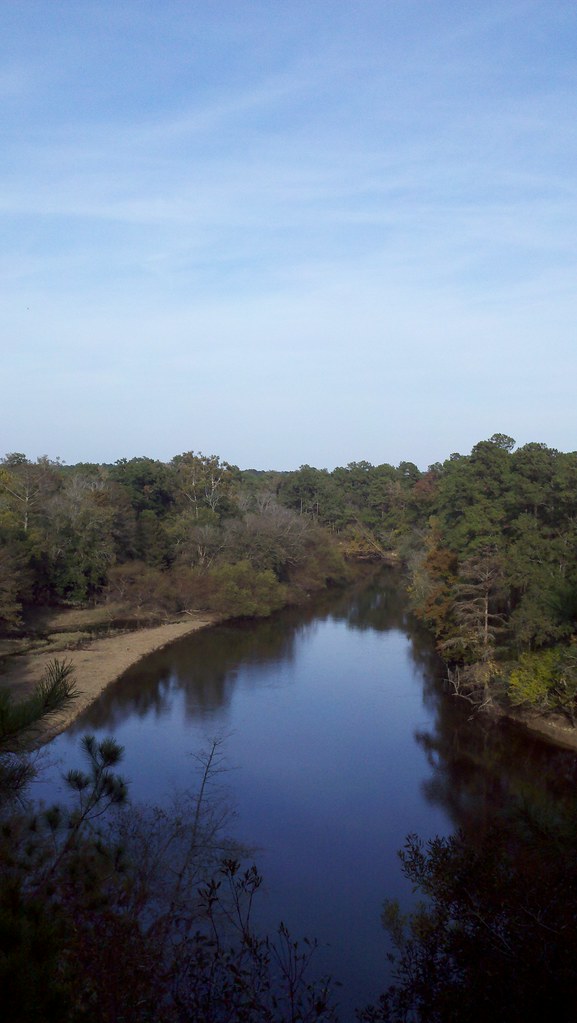 Spanish Moss TrailHiking · ~1h 1m drivePhoto: bobistraveling, CC BY 2.0 (via Flickr)
- Old Wagon PathHiking · ~1h 2m drivePhoto: Gerry Dincher, CC BY-SA 2.0 (via Flickr)
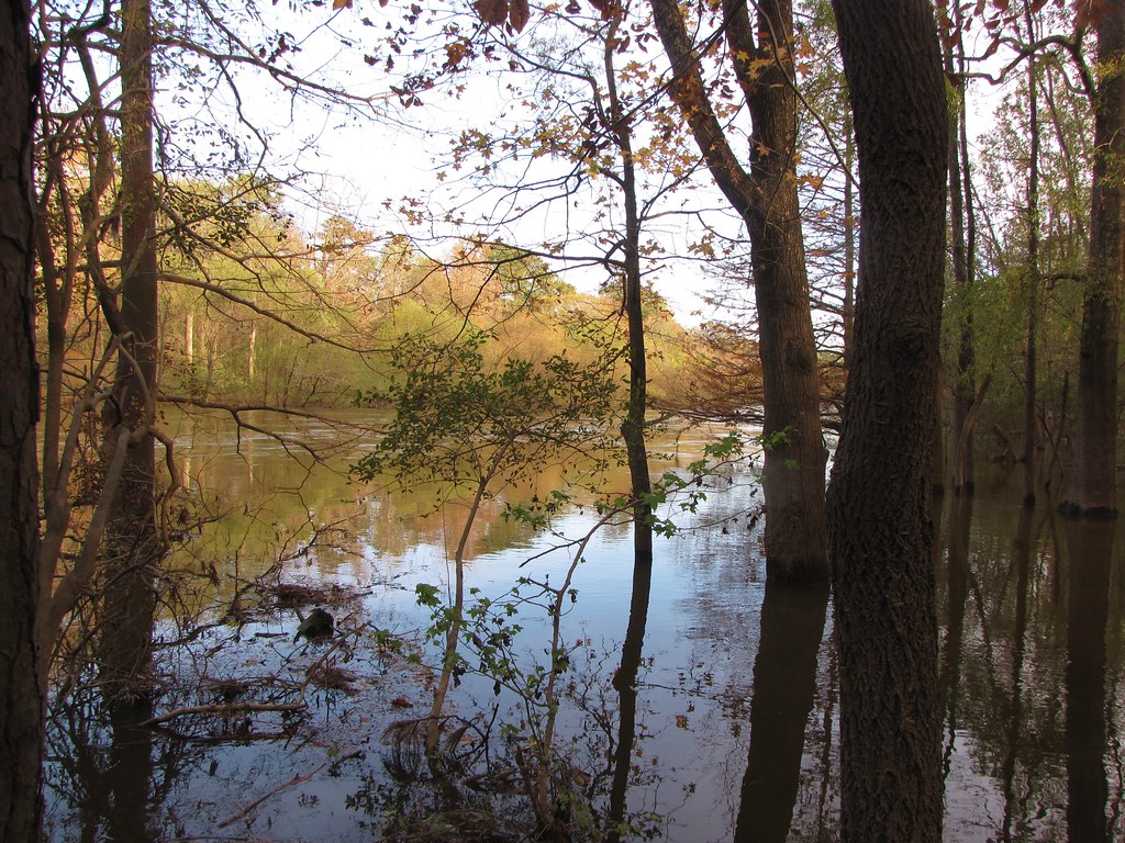 Galax TrailHiking · ~1h 2m drivePhoto: Gerry Dincher, CC BY-SA 2.0 (via Flickr)
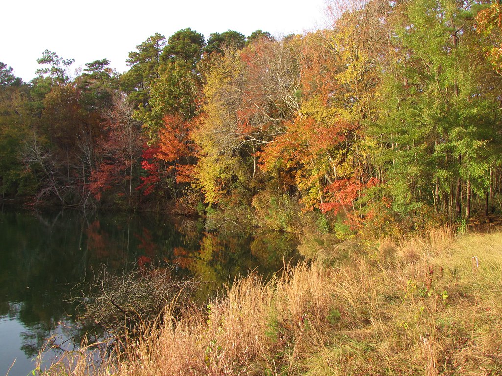 Long Leaf TrailHiking · ~1h 2m drivePhoto: Gerry Dincher, CC BY-SA 2.0 (via Flickr)
 Lake TrailHiking · ~1h 2m drivePhoto: Gerry Dincher, CC BY-SA 2.0 (via Flickr)
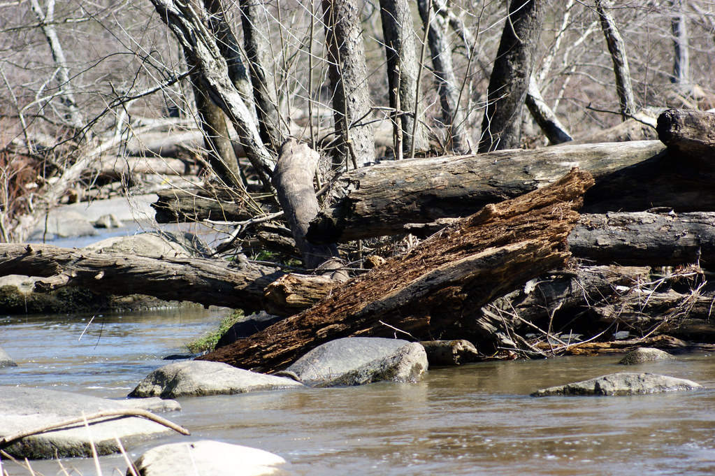 Battle Park LoopHiking · ~1h 3m drivePhoto: HPUPhotogStudent, CC BY 2.0 (via Flickr)
Best time to visit Fork Swamp Trail
Best months: February–May and September–December. Best months have typical highs of 55–85 °F, lows of 30 °F or warmer (32 °F where the station doesn't record snow), at most one snowy day and no more than 12 wet days.
Jan
53° / 33°
11 wet
Feb
57° / 35°
10 wet
Mar
64° / 41°
11 wet
Apr
73° / 50°
10 wet
May
80° / 59°
11 wet
Jun
87° / 67°
10 wet
Jul
90° / 71°
12 wet
Aug
88° / 70°
12 wet
Sep
83° / 64°
10 wet
Oct
74° / 52°
9 wet
Nov
64° / 41°
9 wet
Dec
56° / 35°
11 wet
Typical high / low (°F) and days with rain or snow, 1991–2020. Measured at Greenville, NC, 6.1 mi away at 32 ft. This station doesn't record snowfall. Source: NOAA NCEI U.S. Climate Normals 1991–2020.
Map and trail data © OpenStreetMap contributors
