Lickstone Dispersed Campsites
Campground
Campground · 3.6 mi from the trail
 Photo: ninepennies, CC BY-SA 2.0 (via Flickr)
Caution at last check
Agency alerts are in effect for this area; weather is good · USFS, OpenWeather · checked 23 h ago
Closure in the area
There's a closure order in National Forests in North Carolina. It doesn't name Bearpen Gap, so check the source for the area it covers (2 listed).
Maple Sally Road Closure
Agency closure covering National Forests in North Carolina · USFS · National Forests in North Carolina
Table Rock Road construction starts Nov. 2, 2026
Agency closure covering National Forests in North Carolina · USFS · National Forests in North Carolina
Temporary Closure - The Elk Falls Trail
Agency alert covering National Forests in North Carolina · USFS · National Forests in North Carolina
Rainbow Springs Road closed for reconstruction
Agency alert covering National Forests in North Carolina · USFS · National Forests in North Carolina
Siddie Fields Day Use Area closed for improvements
Agency alert covering National Forests in North Carolina · USFS · National Forests in North Carolina
As of · Source: USFS · National Forests in North Carolina. Agencies don't list every closure — check before you go.
Bearpen Gap is a short, easy out-and-back hike of about 1.25 miles on the Blue Ridge Parkway in North Carolina, managed by the National Park Service. It sits within the Nantahala Ranger District of the National Forests in North Carolina and links into the Long Branch Trail system, so it works well as a standalone walk or as a starting point for longer trips on connected routes. The trail is natural-surfaced and allows bikes. The climb is gentle, with a total gain of about 584 feet over the round trip, and the steepest stretch comes early, around 0.2 miles in, at about 16% grade. There is no fee to hike it. Nearby, the Mst - Nantahala Rd trail is about a mile away and the Haywood Gap Trail is about 1.7 miles off. Climbers can head to Victory Wall, about 4 miles away, and paddlers to the North Fork French Broad River, about 8 miles away.
Lickstone Dispersed Campsites
Campground
Sunset Rock
Viewpoint
Cliff in Macon County, North Carolina, United States
Places © OpenStreetMap contributors, Places © Overture Maps Foundation
More in HighlandsNot on Roamze yet. Their page has how to reach them.
Mst - Nantahala RdHikingPhoto: ninepennies, CC BY-SA 2.0 (via Flickr)1.1 mi Wolf Creek Lake Dispersed CampsitesCampingPhoto: Honeybadgerhiking, CC BY-SA 4.0 (via Wikimedia Commons)6.4 mi
 Upper Cove Creek Roadside CampsitesCampingPhoto: Wncoutdoors, CC BY-SA 3.0 (via Wikimedia Commons)8.7 mi
Source: Roamze catalog (indexable pages within 10 miles, PostGIS distance)
Mst - Nantahala RdHiking · ~2 min drivePhoto: ninepennies, CC BY-SA 2.0 (via Flickr) Mt Hardy TrailHiking · ~4 min drivePhoto: daveynin, CC BY 2.0 (via Flickr)
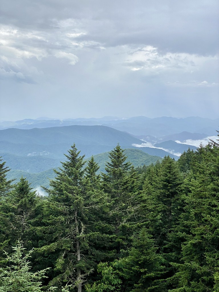 Richland Balsam Nature TrailHiking · ~5 min drivePhoto: w_lemay, CC BY-SA 2.0 (via Flickr)
 Art Loeb NrtHiking · ~10 min drivePhoto: npdoty, CC BY 2.0 (via Flickr)Green MountainHiking · ~4 min drivePhoto: daveynin, CC BY 2.0 (via Flickr)
 Sam KnobHiking · ~8 min drivePhoto: npdoty, CC BY 2.0 (via Flickr)
 Devils Courthouse TrailHiking · ~7 min drivePhoto: w_lemay, CC BY-SA 2.0 (via Flickr)
 Mst - Pisgah RdHiking · ~9 min drivePhoto: Jordan Mitchell, CC BY-SA 3.0 (via Wikimedia Commons)
 Greasy CoveHiking · ~14 min drivePhoto: daveynin, CC BY 2.0 (via Flickr)
 GRAVEYARD RIDGEHiking · ~10 min drivePhoto: npdoty, CC BY 2.0 (via Flickr)


