Poke Patch #53
- Yes
- fee
- Mar–Jun, Aug–Nov
- best months
Is Poke Patch #53 open right now?
Closure in the area
There's a closure order in Great Smoky Mountains National Park. It doesn't name Poke Patch #53, so check the source for the area it covers (4 listed).
Kuwohi Road Closed Due To Snow And Ice
Park closure covering Great Smoky Mountains National Park · NPS · Great Smoky Mountains National Park
Seasonal road closures
Park closure covering Great Smoky Mountains National Park · NPS · Great Smoky Mountains National Park
Straight Fork and the one-way section of Balsam Mountain Road closed.
Park closure covering Great Smoky Mountains National Park · NPS · Great Smoky Mountains National Park
Park Headquarters Road is closed
Park closure covering Great Smoky Mountains National Park · NPS · Great Smoky Mountains National Park
As of · Source: NPS · Great Smoky Mountains National Park. Agencies don't list every closure — check before you go.
- At 3,085 ft
- Great Smoky Mountains National Park
Poke Patch #53 is a campground in North Carolina at about 3,085 feet. It is managed by the National Park Service.
Local outfitters
- GSM Outfitters16 mi away
- Hurshel's Outfitters19 mi away
Not on Roamze yet. Their page has how to reach them.
- Deep Creek TrailHiking0.1 mi
 Thomas Divide TrailHikingPhoto: Dallas Epperson, CC BY-SA 3.0 (via Wikimedia Commons)2.1 mi
- Turkey FlyupSummit2.4 mi
- Nettle Creek BaldSummit2.4 mi
- Wilson FallsWaterfall3.9 mi
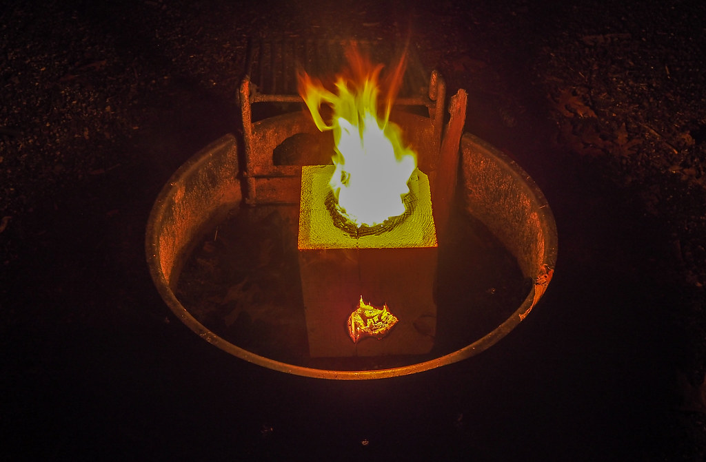 Smokemont CampgroundCampingPhoto: pmuellr — CC BY 2.0 (via Flickr)6.1 mi
- Rainbow FallsWaterfall7.2 mi
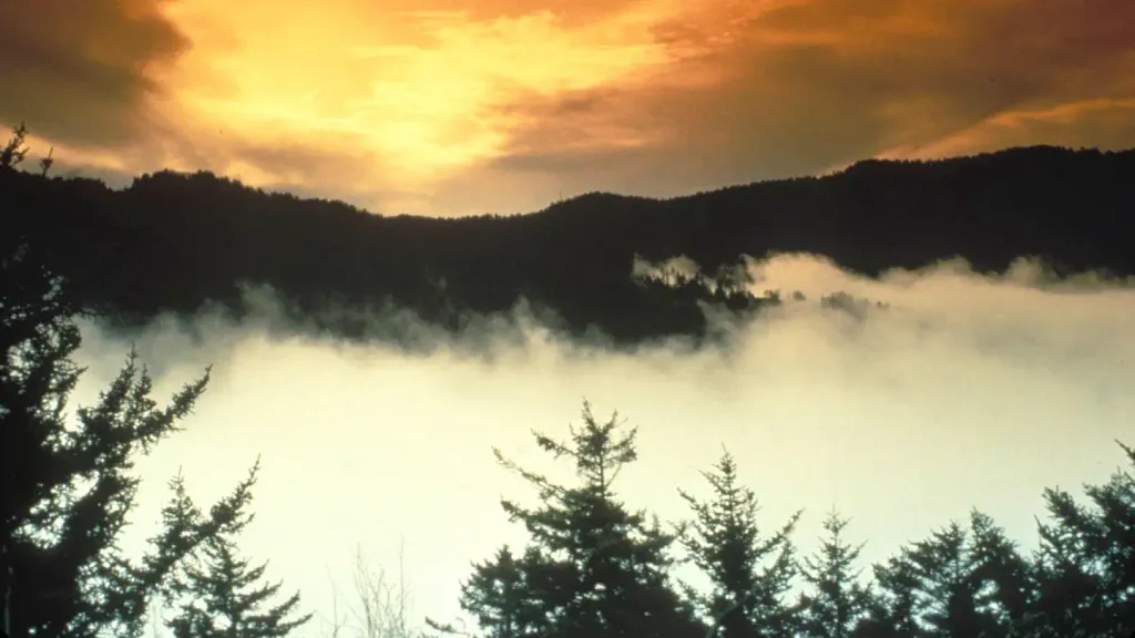 Tow String Horse CampCampingPhoto: Recreation.gov (RIDB) / public domain7.4 mi
Source: Roamze catalog (indexable pages within 10 miles, PostGIS distance)
- Smokemont CampgroundCamping · ~10 min drivePhoto: pmuellr — CC BY 2.0 (via Flickr)
 LeConte LodgeCamping · ~11 min drivePhoto: daveynin — CC BY 2.0 (via Flickr)
- Tow String Horse CampCamping · ~13 min drive
- Nettle Creek #54Camping · ~3 min drive
- Pole Road #55Camping · ~4 min drive
- Burnt Spruce #56Camping · ~4 min drive
- Bryson Place #57Camping · ~5 min drive
- Nick's Nest Branch #58Camping · ~5 min drive
- Bald Creek #61Camping · ~6 min drive
- McCracken Branch #59Camping · ~6 min drive
Best time to visit Poke Patch #53
Best months: March–June and August–November. Best months have typical highs of 55–85 °F, lows of 30 °F or warmer (32 °F where the station doesn't record snow), at most one snowy day and no more than 12 wet days.
Jan
46° / 26°
11 wet
Feb
51° / 29°
11 wet
Mar
59° / 34°
12 wet
Apr
68° / 42°
11 wet
May
75° / 51°
12 wet
Jun
80° / 59°
12 wet
Jul
83° / 63°
14 wet
Aug
82° / 61°
12 wet
Sep
78° / 55°
9 wet
Oct
69° / 43°
9 wet
Nov
58° / 33°
9 wet
Dec
49° / 29°
11 wet
Typical high / low (°F) and days with rain or snow, 1991–2020. Measured at Cherokee, NC, 8 mi away at 1,965 ft. The station sits about 1,100 ft lower than this place, so expect it a little cooler here. This station doesn't record snowfall. Source: NOAA NCEI U.S. Climate Normals 1991–2020.
Map and trail data © OpenStreetMap contributors
