Camp McCall
- Mar–Jun, Sep–Nov
- best months
- At 1,244 ft
Camp McCall is a campground in North Carolina at about 1,244 feet.
Local outfitters
- Price Lake Boat Rentals40 mi away
Not on Roamze yet. Their page has how to reach them.
- South Muddy CreekCanoeing4.8 mi
- Silver CreekCanoeing6.5 mi
- Lake View TrailHiking6.8 mi
- Clear Creek TrailHiking6.9 mi
- Bobs Creek State Natural AreaState park7.4 mi
- Lower CCC TrailHiking7.4 mi
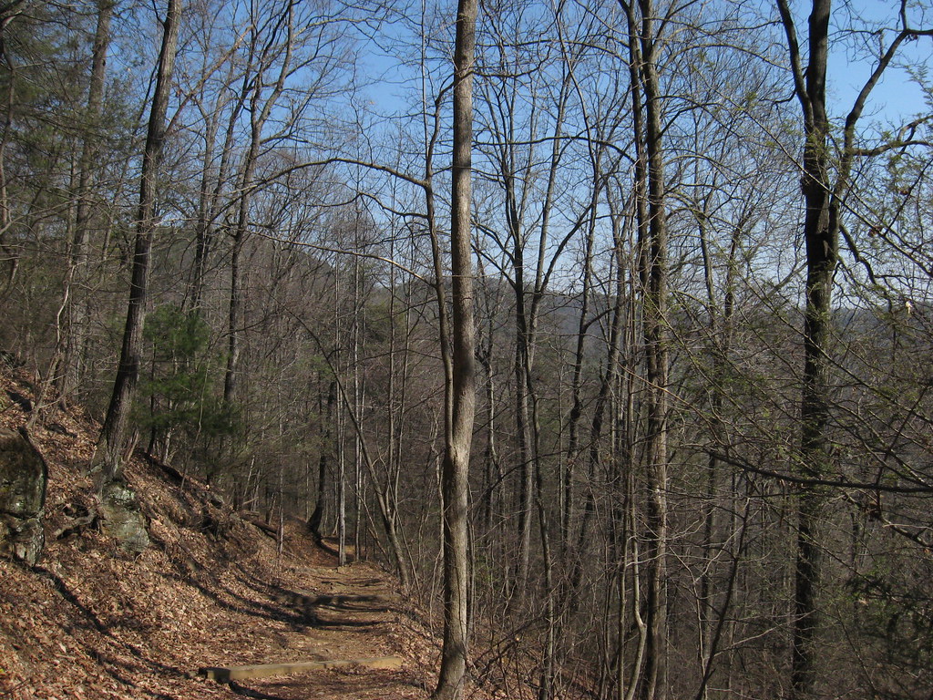
 South Mountains State ParkState parkPhoto: 5minutes at English Wikipedia, CC BY-SA 2.5 (via Wikimedia Commons)8.6 mi
- Benn KnobSummit8.9 mi
Source: Roamze catalog (indexable pages within 10 miles, PostGIS distance)
- Camp Grimes Scout ReservationCamping · ~7 min drive
- Yogi Bear’s Jellystone Park Camp-ResortCamping · ~7 min drive
- Grand View Campground & RV ParkCamping · ~13 min drive
- Vein Mountain Gold Camp & Carolina Emerald MineCamping · ~14 min drive
- Murray Branch CampgroundCamping · ~14 min drive
- Lucky Strike CampgroundCamping · ~14 min drive
- Fox Trail CampgroundCamping · ~14 min drive
- Thermal City Gold MineCamping · ~15 min drive
- Mountain View RV ParkCamping · ~16 min drive
- Campsite 11Camping · ~16 min drive
Best time to visit Camp McCall
Best months: March–June and September–November. Best months have typical highs of 55–85 °F, lows of 30 °F or warmer (32 °F where the station doesn't record snow), at most one snowy day and no more than 12 wet days.
Jan
49° / 28°
10 wet
Feb
53° / 30°
9 wet
Mar
61° / 37°
10 wet
Apr
71° / 45°
10 wet
May
78° / 54°
11 wet
Jun
85° / 62°
11 wet
Jul
88° / 66°
12 wet
Aug
86° / 65°
11 wet
Sep
80° / 59°
9 wet
Oct
71° / 46°
9 wet
Nov
61° / 35°
8 wet
Dec
52° / 30°
10 wet
Typical high / low (°F) and days with rain or snow, 1991–2020. Measured at Morganton, NC, 14.3 mi away at 1,180 ft. This station doesn't record snowfall. Source: NOAA NCEI U.S. Climate Normals 1991–2020.
Map and trail data © OpenStreetMap contributors
