Camp Attocoa (TENT ONLY)
Campground
Campground · 5.4 mi from the trail
Clear today
Weather is good · OpenWeather · checked just now
Silver Creek is a 13-mile paddling stretch near Morganton, North Carolina, about 2 miles from the town of Brindletown. The water runs roughly 51 feet downhill for every mile, and typical averages from a nearby weather station in Morganton put the flow at about 70 cubic feet per second. Spring and fall are the most comfortable times to paddle. Typical averages from that station run around 71°F for highs in April and October, with July the warmest month at about 88°F. The closest trails are Lake View Trail and Clear Creek Trail, both about 3 miles away. South Muddy Creek offers more paddling about 6 miles out, and Hunting Creek is about 9 miles away.
Camp Attocoa (TENT ONLY)
Campground
La Favorita
Mexican restaurant
Places © OpenStreetMap contributors, Places © Overture Maps Foundation
More in Spruce PineNot on Roamze yet. Their page has how to reach them.
Source: Roamze catalog (indexable pages within 10 miles, PostGIS distance)
 Wilson CreekCanoeing · ~44 min drivePhoto: Ken Thomas, Public domain (via Wikimedia Commons)
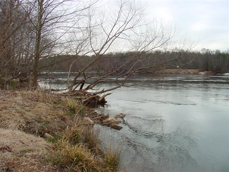 Broad RiverCanoeing · ~46 min drivePhoto: unknown/w:NOAA, Public domain (via Wikimedia Commons)
 Yadkin RiverCanoeing · ~52 min drivePhoto: unknown/w:NOAA, Public domain (via Wikimedia Commons)
Best months: March–June and September–November. Best months have typical highs of 55–85 °F, lows of 30 °F or warmer (32 °F where the station doesn't record snow), at most one snowy day and no more than 12 wet days.
Jan
49° / 28°
10 wet
Feb
53° / 30°
9 wet
Mar
61° / 37°
10 wet
Apr
71° / 45°
10 wet
May
78° / 54°
11 wet
Jun
85° / 62°
11 wet
Jul
88° / 66°
12 wet
Aug
86° / 65°
11 wet
Sep
80° / 59°
9 wet
Oct
71° / 46°
9 wet
Nov
61° / 35°
8 wet
Dec
52° / 30°
10 wet
Typical high / low (°F) and days with rain or snow, 1991–2020. Measured at Morganton, NC, 9.3 mi away at 1,180 ft. The station sits about 500 ft lower than this place, so expect it a little cooler here. This station doesn't record snowfall. Source: NOAA NCEI U.S. Climate Normals 1991–2020.

