Benn Knob
- 2,894 ft
- summit
- 1
- way up
- Mar–Jun, Aug–Nov
- best months
Benn Knob is a summit in North Carolina, rising to 2,894 feet. The nearest town is Casar, about 4.4 miles away. The Benn Knob Trail starts just 0.3 miles from the top, making it the natural route for reaching the summit. For comfortable weather, aim for late spring or early fall. Typical averages from a nearby weather station in Marion, which sits well below the summit, show May highs around 76°F and October highs around 70°F. That station's figures run cooler at the summit's elevation. Several other trails lie within a few miles, including the Jacob Branch Trail at 1.8 miles and the Raven Rock Trail at 2 miles. Paddlers can find the First Broad River about 5.6 miles away.
Conditions and forecast
Daily highs and lows, wind and the chance of precipitation at the summit and route start for the next 7 days, from the Open-Meteo model.
- Summit elevation
- 2,894 ft
Elevation from USGS 3D Elevation Program terrain data (about 10 m resolution).
Map © Mapbox © OpenStreetMap contributors Questions about Benn Knob
How tall is Benn Knob?
2,894 ft (882 m).
How many routes go to the summit of Benn Knob?
One: Benn Knob Trail.
- Chestnut Knob2,292 ft · North Carolina2 routes3.4 mi away
- The Chimneys3,534 ft · North Carolina1 route25 mi away
- Hibriten Mountain2,228 ft · North Carolina1 route25 mi away
 Adams Mountain2,501 ft · North Carolina1 route25 mi awayPhoto: Thomson200, CC0 (via Wikimedia Commons)
 Table Rock Mountain3,940 ft · North Carolina1 route26 mi awayPhoto: Omarcheeseboro, CC BY-SA 3.0 (via Wikimedia Commons)
- Hawksbill Mountain4,026 ft · North Carolina1 route27 mi away
- Benn Knob TrailHiking0.3 mi
- Jacob Branch TrailHiking1.8 mi
 Raven Rock TrailHikingPhoto: pmuellr, CC BY 2.0 (via Flickr)2 mi
- Lower CCC TrailHiking2.2 mi
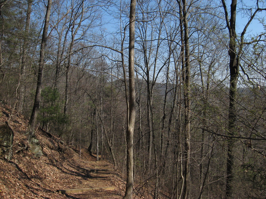 Headquarters TrailHikingPhoto: pmuellr, CC BY 2.0 (via Flickr)2.2 mi
 Saddleback TrailHikingPhoto: pmuellr, CC BY 2.0 (via Flickr)2.4 mi
- First Broad RiverCanoeing5.6 mi
- Duncans CreekCanoeing7.3 mi
Source: Roamze catalog (indexable pages within 10 miles, PostGIS distance)
- Adams MountainSummit · ~44 min drivePhoto: Thomson200, CC0 (via Wikimedia Commons)
 Brown MountainSummit · ~44 min drivePhoto: Thomson200, CC0 (via Wikimedia Commons)
- Table Rock MountainSummit · ~44 min drivePhoto: Omarcheeseboro, CC BY-SA 3.0 (via Wikimedia Commons)
 Crowders MountainSummit · ~54 min drivePhoto: Heisenburg CA at English Wikipedia, CC BY-SA 3.0 (via Wikimedia Commons)
 Woodys KnobSummit · ~57 min drivePhoto: Jdshepard at en.wikipedia, Public domain (via Wikimedia Commons)
 Bee MountainSummit · ~57 min drivePhoto: Thomson200, CC0 (via Wikimedia Commons)
- Chestnut KnobSummit · ~6 min drive
- Jolly MountainSummit · ~42 min drive
- The ChimneysSummit · ~43 min drive
- Hibriten MountainSummit · ~44 min drive
Best time to visit Benn Knob
Best months: March–June and August–November. Best months have typical highs of 55–85 °F, lows of 30 °F or warmer (32 °F where the station doesn't record snow), at most one snowy day and no more than 12 wet days.
Jan
49° / 28°
9 wet
Feb
53° / 31°
8 wet
Mar
61° / 37°
10 wet
Apr
70° / 46°
10 wet
May
76° / 55°
11 wet
Jun
82° / 63°
12 wet
Jul
85° / 67°
13 wet
Aug
84° / 66°
12 wet
Sep
79° / 60°
9 wet
Oct
70° / 48°
9 wet
Nov
60° / 38°
8 wet
Dec
51° / 31°
9 wet
Typical high / low (°F) and days with rain or snow, 1991–2020. Measured at Marion, NC, 21.2 mi away at 1,410 ft. The station sits about 1,500 ft lower than this place, so expect it a little cooler here. This station doesn't record snowfall. Source: NOAA NCEI U.S. Climate Normals 1991–2020.
