Field Trail
 Photo: jamesbmayr, CC BY 3.0 (via Wikimedia Commons)
- 0.5 mi
- one way
- 253 ft
- climb
- 1,489 ft
- high point
- Point to point
- route
- Jun, Aug–Sep
- best months
Field Trail is a short, easy hike in New York, about half a mile long and rising roughly 250 feet from its starting point. It is a point-to-point route, with the high point at about 1,489 feet and the low at about 1,207 feet. The steepest stretch comes at about 0.36 miles in, with a grade of about 12 percent. The nearest town is Willow Point, about 2 miles away. Summer is the most comfortable time to go. Typical averages from a nearby weather station in Binghamton show July highs around 78°F with lows near 59°F, while winter highs stay in the 30s. The trail is open year-round, and the trip takes about half an hour. Bikes and horses are not allowed. Anthill Trail is about half a mile away, and Pond Trail and Pipeline Trail are each about 0.6 miles off. The Cross Country Ski Trail is also about 0.6 miles away.
Best time to go · Jun, Aug–Sep
Best time to visit Field Trail
Best months: June and August–September. Best months have typical highs of 55–85 °F, lows of 30 °F or warmer (32 °F where the station doesn't record snow), at most one snowy day and no more than 12 wet days.
Jan
30° / 16°
16 wet
Feb
32° / 17°
14 wet
Mar
41° / 24°
15 wet
Apr
54° / 35°
14 wet
May
66° / 46°
14 wet
Jun
74° / 55°
12 wet
Jul
78° / 59°
13 wet
Aug
77° / 58°
11 wet
Sep
70° / 51°
11 wet
Oct
57° / 41°
13 wet
Nov
45° / 31°
14 wet
Dec
34° / 22°
16 wet
Typical high / low (°F) and days with rain or snow, 1991–2020. Measured at Binghamton, NY, 8.4 mi away at 1,606 ft. This station doesn't record snowfall. Source: NOAA NCEI U.S. Climate Normals 1991–2020.
Keep exploring — more trails worth the drive
 Photo: waitscm, CC BY 2.0 (via Flickr)
Anthill Trail
Next door
2.68-mile out-and-back hike in New York with 638 ft elevation gain
 Photo: Doug Kerr from Albany, NY, United States, CC BY-SA 2.0 (via Wikimedia Commons)
Border Trail (blue)
~21 min drive
2.54-mile out-and-back trail in Pennsylvania with 1,113 ft elevation gain
 Photo: Larry Lamb, CC BY-SA 3.0 (via Wikimedia Commons)
The Endless Mountains Trail
~36 min drive
9.4-mile out-and-back in Pennsylvania with 2,973 ft elevation gain
 Photo: Dougtone, CC BY-SA 2.0 (via Wikimedia Commons)
Pipeline Trail
Next door
Pipeline Trail is a 0.76-mile point-to-point trail in New York.
 Photo: Stephen Schweitzer, CC BY-SA 3.0 (via Wikimedia Commons)
Chenango Canal Towpath
~23 min drive
5.82-mile out-and-back trail along Chenango Canal in New York with 1,809 ft elevation gain.
Photo: Dougtone, CC BY-SA 2.0 (via Wikimedia Commons)Pond Trail
Next door
0.85-mile point-to-point trail in New York with 249 ft gain.
 Photo: javajoe6, CC BY-SA 3.0 (via Wikimedia Commons)
Dabes Diversion Loop
~50 min drive
2.52-mile point-to-point trail in New York with 667 ft elevation gain.
 Photo: Dougtone, CC BY-SA 2.0 (via Wikimedia Commons)
Yellow Trail, Aquaterra Park
~7 min drive
1.29-mile loop in Aquaterra Park, New York with 459 ft elevation gain.
 Photo: javajoe6, CC BY-SA 3.0 (via Wikimedia Commons)
Abbott Loop
~53 min drive
A 6.77-mile point-to-point trail through New York's natural landscapes.
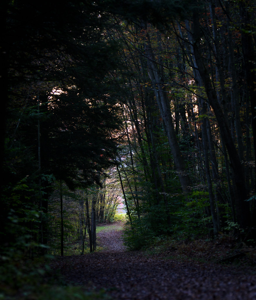 Photo: waitscm, CC BY 2.0 (via Flickr)
Red Eft
~8 min drive
Red Eft is a 0.56-mile out-and-back trail in New York with 278 feet of elevation gain.
Map and trail data © OpenStreetMap contributors
