Yellow Trail
- 2.7 mi
- one way
- 100 ft
- climb
- 2,007 ft
- high point
- Point to point
- route
- May–Oct
- best months
Yellow Trail is a 2.7-mile point-to-point hike in Boutwell Hill State Forest in New York, managed by the State Department of Conservation. The route rises from about 1,867 feet to about 2,007 feet, with a total elevation gain of 100 feet and a total loss of 299 feet. The steepest stretch comes at about 0.5 miles in, where the grade reaches 17 percent. Summer is the most comfortable time to go. Typical averages from a nearby weather station in Perrysburg show July highs around 79°F and lows near 59°F, while winter brings frequent snow days from December through February. That station sits roughly 800 feet lower than the trail's high point, so temperatures on the trail run cooler. The hike takes about an hour. The East Side Overland Trail lies about 2.4 miles away, and the Blue Trail and Red Trail are both within about 5.5 miles.
Source: Roamze catalog (indexable pages within 10 miles, PostGIS distance)
 Yellow TrailHiking · ~28 min drivePhoto: andyarthur, CC BY 2.0 (via Flickr)
 Pat McGee TrailHiking · ~36 min drivePhoto: Russ Nelson, CC BY-SA 2.0 (via Flickr)
 Chautauqua Ralph C. Sheldon Jr. TrailHiking · ~37 min drivePhoto: Russ Nelson, CC BY-SA 2.0 (via Flickr)
 Finger Lakes TrailHiking · ~47 min drivePhoto: javajoe6, CC BY-SA 3.0 (via Wikimedia Commons)
 Chautauqua Paul and Nancy Webb TrailHiking · ~29 min drivePhoto: Andre Carrotflower, CC BY-SA 4.0 (via Wikimedia Commons)
- East Side Overland TrailHiking · ~4 min drive
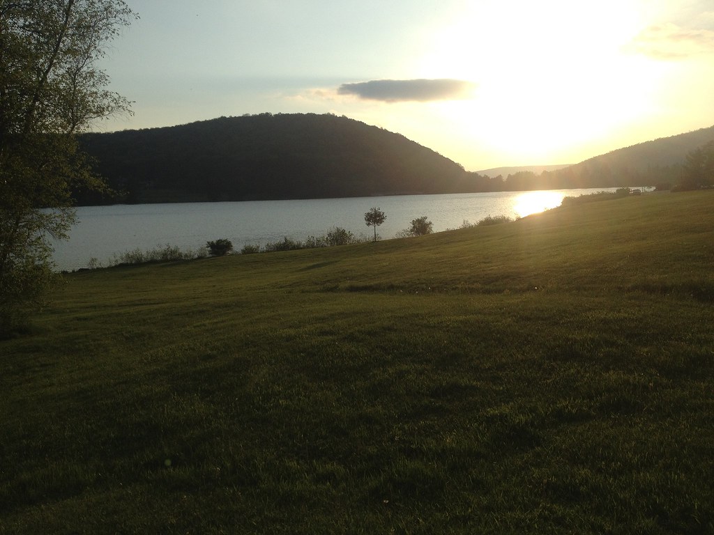 Beehunter TrailHiking · ~51 min drivePhoto: seabamirum, CC BY 2.0 (via Flickr)
- Chautauqua Nancy B. Diggs TrailHiking · ~31 min drivePhoto: Andre Carrotflower, CC BY-SA 4.0 (via Wikimedia Commons)
- Red TrailHiking · ~9 min drive
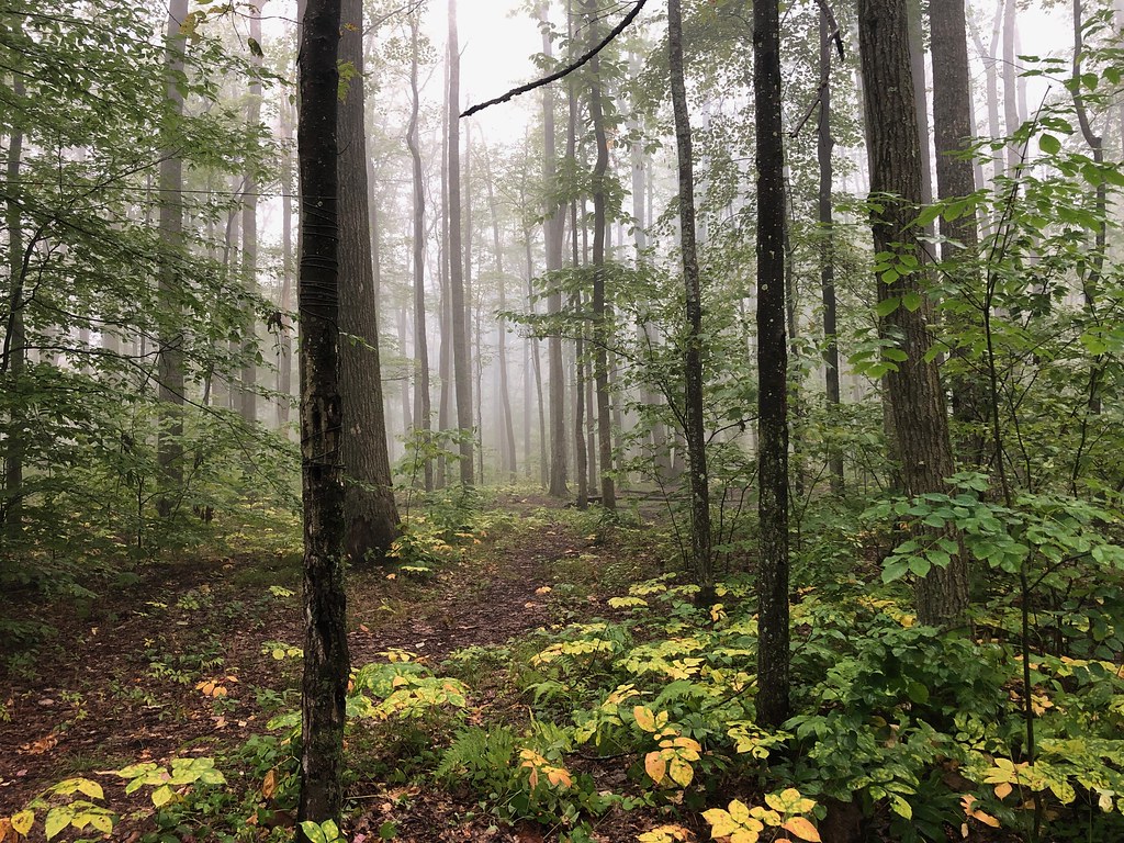 GowangoHiking · ~55 min drivePhoto: daveynin, CC BY 2.0 (via Flickr)
Best time to visit Yellow Trail
Best months: May–October. Best months have typical highs of 55–85 °F, lows of 30 °F or warmer (32 °F where the station doesn't record snow), at most one snowy day and no more than 12 wet days.
Jan
31° / 16°
14 wet · 14 snow
Feb
34° / 16°
10 wet · 12 snow
Mar
43° / 23°
10 wet · 7 snow
Apr
55° / 32°
10 wet · 2 snow
May
68° / 45°
9 wet
Jun
76° / 55°
9 wet
Jul
79° / 59°
9 wet
Aug
78° / 58°
9 wet
Sep
71° / 51°
9 wet
Oct
59° / 40°
12 wet · 1 snow
Nov
47° / 31°
11 wet · 5 snow
Dec
36° / 22°
14 wet · 11 snow
Typical high / low (°F) and days with rain or snow, 1991–2020. Measured at Perrysburg, NY, 12.8 mi away at 1,210 ft. The station sits about 800 ft lower than this place, so expect it a little cooler here. Source: NOAA NCEI U.S. Climate Normals 1991–2020.
Map and trail data © OpenStreetMap contributors
