Blue Trail
- 9.7 mi
- one way
- 353 ft
- climb
- 2,114 ft
- high point
- Point to point
- route
- Jun, Aug–Sep
- best months
Clear at last check
Weather is good · OpenWeather · checked 21 h ago
Blue Trail is a 9.7-mile point-to-point hike in New York, about 1.7 miles from the town of Thornton. It rises from 1,819 feet to 2,114 feet, with a total elevation gain of 353 feet, and the steepest stretch comes at about 4.6 miles in, where the grade reaches 23%. The route is rated moderate. Summer is the most comfortable time to go. Typical averages from a nearby weather station in Jamestown show July highs around 80°F with lows near 57°F, and the station sits roughly 860 feet lower than the trail's high point, so temperatures on the trail run cooler. The Red Trail lies about a mile away, and the Yellow Trail is about 4.5 miles off. Paddlers can reach the Marden E. Cobb Waterway Trail – The Cassadaga at about 8.9 miles and Conewango Creek at about 9.5 miles.
- Red TrailHiking1 mi
- Yellow TrailHiking4.5 mi
- East Side Overland TrailHiking6.8 mi
- Marden E. Cobb Waterway Trail – The CassadagaCanoeing8.9 mi
- Conewango CreekCanoeing9.5 mi
Source: Roamze catalog (indexable pages within 10 miles, PostGIS distance)
 Yellow TrailHiking · ~28 min drivePhoto: andyarthur, CC BY 2.0 (via Flickr)
 Pat McGee TrailHiking · ~32 min drivePhoto: Russ Nelson, CC BY-SA 2.0 (via Flickr)
 Chautauqua Ralph C. Sheldon Jr. TrailHiking · ~37 min drivePhoto: Russ Nelson, CC BY-SA 2.0 (via Flickr)
 Finger Lakes TrailHiking · ~40 min drivePhoto: javajoe6, CC BY-SA 3.0 (via Wikimedia Commons)
 Chautauqua Paul and Nancy Webb TrailHiking · ~30 min drivePhoto: Andre Carrotflower, CC BY-SA 4.0 (via Wikimedia Commons)
- Red TrailHiking · ~2 min drive
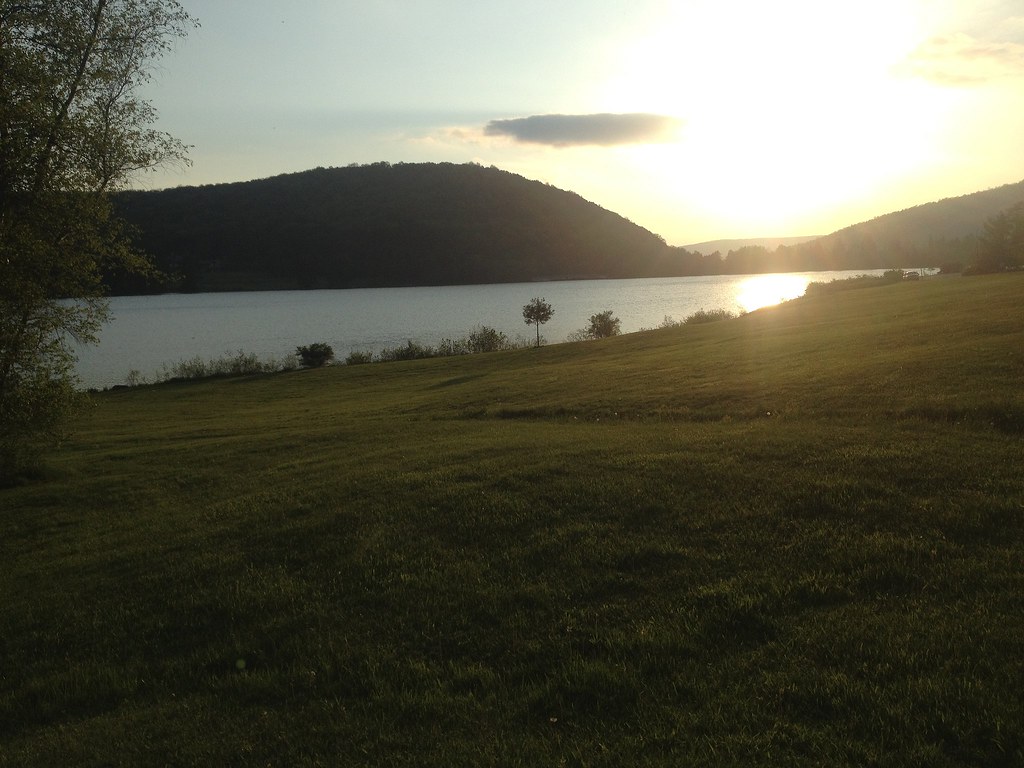 Beehunter TrailHiking · ~44 min drivePhoto: seabamirum, CC BY 2.0 (via Flickr)
- Sugar RunHiking · ~49 min drive
 Holcomb Pond TrailHiking · ~32 min drivePhoto: andyarthur, CC BY 2.0 (via Flickr)
- East Side Overland TrailHiking · ~12 min drive
Best time to visit Blue Trail
Best months: June and August–September. Best months have typical highs of 55–85 °F, lows of 30 °F or warmer (32 °F where the station doesn't record snow), at most one snowy day and no more than 12 wet days.
Jan
32° / 16°
19 wet
Feb
35° / 16°
16 wet
Mar
43° / 23°
15 wet
Apr
57° / 34°
14 wet
May
69° / 44°
13 wet
Jun
76° / 54°
12 wet
Jul
80° / 57°
13 wet
Aug
79° / 56°
12 wet
Sep
73° / 50°
11 wet
Oct
61° / 39°
14 wet
Nov
48° / 31°
15 wet
Dec
37° / 23°
18 wet
Typical high / low (°F) and days with rain or snow, 1991–2020. Measured at Jamestown 4 Ene, NY, 12.4 mi away at 1,250 ft. The station sits about 900 ft lower than this place, so expect it a little cooler here. This station doesn't record snowfall. Source: NOAA NCEI U.S. Climate Normals 1991–2020.
Map and trail data © OpenStreetMap contributors
