Wawayanda Group Campground
Campground
Campground · 6.5 mi from the trail
 Photo: Zeete, CC BY-SA 4.0 (via Wikimedia Commons)
Closure in the area
There's a closure order in Appalachian National Scenic Trail. It doesn't name Village Vista Trail, so check the source for the area it covers.
List of trail closures post-Hurricane Helene
Park closure covering Appalachian National Scenic Trail · NPS · Appalachian National Scenic Trail
Black Bears Frequenting the McAfee Knob Area in Virginia
Park alert covering Appalachian National Scenic Trail · NPS · Appalachian National Scenic Trail
As of · Source: NPS · Appalachian National Scenic Trail. Agencies don't list every closure — check before you go.
Village Vista Trail is a 0.72-mile point-to-point hike on National Park Service land in New York, within the Appalachian National Scenic Trail corridor. It rises from about 692 feet to roughly 1,260 feet, with a one-way climb of 543 feet. The route is rated easy and carries no fee. Spring and fall are the most comfortable times to go. Typical averages from a nearby weather station run to highs around 70°F in May and 75°F in September, and the trail's higher elevation runs cooler than that station's figures. The hike takes about half an hour. West Valley Trail is about 1.9 miles away, Bare Rock Trail about 2.2 miles, and Allis about 2.4 miles. Wawayanda Creek, a canoeing spot, is about 3.8 miles off.
Wawayanda Group Campground
Campground
 If it rainsDoug Kerr from Albany, NY, United States, CC BY-SA 2.0 · Wikimedia Commons
Open-air museum and sculpture park located in Mountainville, New York
Places © OpenStreetMap contributors, Places © Overture Maps Foundation · Photos: Doug Kerr from Albany, NY, United States, CC BY-SA 2.0 (commons)
More in New Windsor West Valley TrailHikingPhoto: History tower, CC BY-SA 3.0 (via Wikimedia Commons)1.9 mi
 Bare Rock TrailHikingPhoto: rpkelly22, CC BY-SA 2.0 (via Flickr)2.2 miAllisHikingPhoto: Zeete, CC BY-SA 4.0 (via Wikimedia Commons)2.4 mi
 Wawayanda CreekCanoeingPhoto: PointsofNoReturn, CC BY-SA 4.0 (via Wikimedia Commons)3.8 mi
Source: Roamze catalog (indexable pages within 10 miles, PostGIS distance)
West Valley TrailHiking · ~3 min drivePhoto: History tower, CC BY-SA 3.0 (via Wikimedia Commons)Bare Rock TrailHiking · ~4 min drivePhoto: rpkelly22, CC BY-SA 2.0 (via Flickr)AllisHiking · ~4 min drivePhoto: Zeete, CC BY-SA 4.0 (via Wikimedia Commons)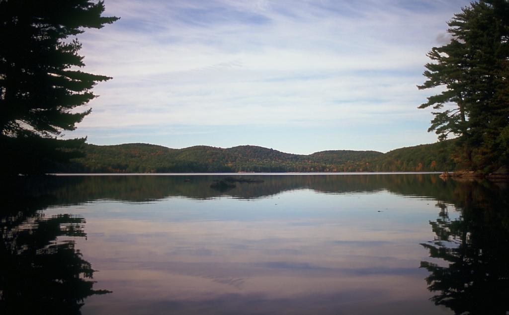 Pine MeadowHiking · ~6 min drivePhoto: rpkelly22, CC BY-SA 2.0 (via Flickr)
 Fire Tower TrailHiking · ~5 min drivePhoto: Zeete, CC BY-SA 4.0 (via Wikimedia Commons)Sterling RidgeHiking · ~4 min drivePhoto: Zeete, CC BY-SA 4.0 (via Wikimedia Commons)
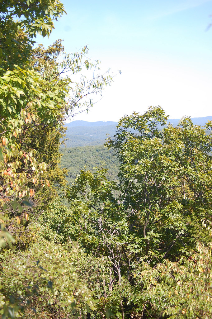 Sterling Valley LoopHiking · ~4 min drivePhoto: LukeGordon1, CC BY 2.0 (via Flickr)CS/LL ConnectorHiking · ~5 min drivePhoto: Zeete, CC BY-SA 4.0 (via Wikimedia Commons)Fire Tower Connector TrailHiking · ~5 min drivePhoto: History tower, CC BY-SA 3.0 (via Wikimedia Commons)
Best months: April–October. Best months have typical highs of 55–85 °F, lows of 30 °F or warmer (32 °F where the station doesn't record snow), at most one snowy day and no more than 12 wet days.
Jan
36° / 19°
11 wet
Feb
39° / 19°
9 wet
Mar
47° / 27°
11 wet
Apr
59° / 38°
11 wet
May
70° / 48°
11 wet
Jun
78° / 57°
11 wet
Jul
83° / 61°
10 wet
Aug
81° / 59°
9 wet
Sep
75° / 52°
8 wet
Oct
63° / 41°
9 wet
Nov
51° / 32°
8 wet
Dec
41° / 25°
10 wet
Typical high / low (°F) and days with rain or snow, 1991–2020. Measured at Charlotteburg Rsvr, NJ, 14.8 mi away at 778 ft. This station doesn't record snowfall. Source: NOAA NCEI U.S. Climate Normals 1991–2020.
Map and trail data © OpenStreetMap contributors

