Trout Pond Trail
- 1.9 mi
- round trip
- 1,281 ft
- climb
- 2,507 ft
- high point
- Out and back
- route
- Apr–Oct
- best months
Clear today
Weather is good · OpenWeather · checked 8 h ago
Trout Pond Trail is a 3.7-mile out-and-back hike in the Delaware Wild Forest in New York, managed by the State Department of Conservation. The trail rises steadily from a starting point of about 2,226 feet to a high point of 2,507 feet, with a total elevation gain of 1,281 feet over the round trip. The climb is moderate, and the steepest stretch comes at about 1.5 miles in, where the grade reaches 15%. Summer is the most comfortable time to go. Typical averages from a nearby weather station at Downsville Dam show July highs around 81°F and lows near 56°F, though that station sits well below the trail, so temperatures on the higher ground run cooler. The hike takes about two hours. The trail is close to several other routes, including Campbell Mountain Trail and Mud Pond Trail, both within about a mile and a half. For an overnight stay, Bear Spring Mountain - Spruce Grove campground is about 7 miles away.
Local outfitters
- Catskill Outfitters32 mi away
Not on Roamze yet. Their page has how to reach them.
- Campbell Mountain TrailHiking1.3 mi
 Mud Pond TrailHikingPhoto: andyarthur, CC BY 2.0 (via Flickr)1.4 mi
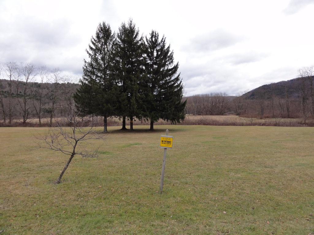 Hog Hollow TrailHikingPhoto: ossguy, CC BY-SA 2.0 (via Flickr)2.6 mi
 Pelnor Hollow TrailHikingPhoto: javajoe6, CC BY-SA 3.0 (via Wikimedia Commons)3.8 mi
- Beaver KillRiver fishing6.6 mi
- Bear Spring Mountain - Spruce GroveCamping6.9 mi
 Shavertown TrailHikingPhoto: Zilberman-Sands Photography, CC BY 2.0 (via Flickr)7.5 mi
- Bear Spring Mountain - Launt PondCamping9.1 mi
Source: Roamze catalog (indexable pages within 10 miles, PostGIS distance)
- Mud Pond TrailHiking · ~2 min drivePhoto: andyarthur, CC BY 2.0 (via Flickr)
- Hog Hollow TrailHiking · ~4 min drivePhoto: ossguy, CC BY-SA 2.0 (via Flickr)
 Dry Brook Ridge TrailHiking · ~30 min drivePhoto: cm195902, CC BY 2.0 (via Flickr)
- Huckleberry LoopHiking · ~26 min drive
- Pelnor Hollow TrailHiking · ~7 min drivePhoto: javajoe6, CC BY-SA 3.0 (via Wikimedia Commons)
- Pond LoopHiking · ~13 min drivePhoto: Zilberman-Sands Photography, CC BY 2.0 (via Flickr)
- Shavertown TrailHiking · ~13 min drivePhoto: Zilberman-Sands Photography, CC BY 2.0 (via Flickr)
 Andes Rail TrailHiking · ~21 min drivePhoto: ke9tv, CC BY-SA 2.0 (via Flickr)
 Campground TrailHiking · ~17 min drivePhoto: javajoe6, CC BY-SA 3.0 (via Wikimedia Commons)
- Bullet HoleHiking · ~21 min drivePhoto: ke9tv, CC BY-SA 2.0 (via Flickr)
Best time to visit Trout Pond Trail
Best months: April–October. Best months have typical highs of 55–85 °F, lows of 30 °F or warmer (32 °F where the station doesn't record snow), at most one snowy day and no more than 12 wet days.
Jan
33° / 12°
Feb
36° / 12°
Mar
44° / 20°
Apr
57° / 32°
May
69° / 42°
Jun
77° / 52°
Jul
81° / 56°
Aug
79° / 55°
Sep
73° / 49°
Oct
61° / 37°
Nov
49° / 27°
Dec
37° / 19°
Typical high / low (°F) and days with rain or snow, 1991–2020. Measured at Downsville Dam, NY, 4 mi away at 1,200 ft. The station sits about 1,300 ft lower than this place, so expect it a little cooler here. This station doesn't record snowfall. Source: NOAA NCEI U.S. Climate Normals 1991–2020.
Map and trail data © OpenStreetMap contributors
