Shavertown Trail
 Photo: Zilberman-Sands Photography, CC BY 2.0 (via Flickr)
- 0.7 mi
- one way
- 357 ft
- climb
- 2,020 ft
- high point
- Point to point
- route
- Apr–Oct
- best months
Shavertown Trail is a 0.68-mile moderate hike on city land in New York, within the Shavertown Bridge area. The route is a point-to-point path with a steady climb, rising from about 1,694 feet to about 2,020 feet, and the steepest stretch comes at about 0.5 miles in, with a 17% grade. The trail is dog-friendly, and bikes are not allowed. It is not wheelchair accessible. Summer is the most comfortable time to go. Typical averages from the nearby Downsville Dam weather station, which sits about 820 feet lower, show July highs around 81°F and lows near 56°F. That station's figures are not directly comparable to conditions on the trail, which sits higher. Pond Loop is just 0.2 miles away. Pelnor Hollow Trail and Campground Trail are both about 5 miles off, and the Andes Rail Trail is about 5.7 miles away.
Local outfitters
- Catskill Outfitters26 mi away
Not on Roamze yet. Their page has how to reach them.
Best time to go · Apr–Oct
Best time to visit Shavertown Trail
Best months: April–October. Best months have typical highs of 55–85 °F, lows of 30 °F or warmer (32 °F where the station doesn't record snow), at most one snowy day and no more than 12 wet days.
Jan
33° / 12°
Feb
36° / 12°
Mar
44° / 20°
Apr
57° / 32°
May
69° / 42°
Jun
77° / 52°
Jul
81° / 56°
Aug
79° / 55°
Sep
73° / 49°
Oct
61° / 37°
Nov
49° / 27°
Dec
37° / 19°
Typical high / low (°F) and days with rain or snow, 1991–2020. Measured at Downsville Dam, NY, 8.5 mi away at 1,200 ft. The station sits about 800 ft lower than this place, so expect it a little cooler here. This station doesn't record snowfall. Source: NOAA NCEI U.S. Climate Normals 1991–2020.
Keep exploring — more trails worth the drive
Photo: Zilberman-Sands Photography, CC BY 2.0 (via Flickr)Pond Loop
Next door
Short point-to-point trail through pond and forest terrain in New York.
 Photo: javajoe6, CC BY-SA 3.0 (via Wikimedia Commons)
Pelnor Hollow Trail
~8 min drive
4.27-mile point-to-point trail in New York with 2,624 ft gain.
 Photo: cm195902, CC BY 2.0 (via Flickr)
Dry Brook Ridge Trail
~21 min drive
23.96-mile out-and-back trail in New York with 5,199 ft elevation gain/loss
HIKE
Huckleberry Loop
~14 min drive
13.04-mile out-and-back trail in New York with 3,570 ft elevation gain
 Photo: ke9tv, CC BY-SA 2.0 (via Flickr)
Bullet Hole
~10 min drive
Bullet Hole is a 1.24-mile point-to-point trail in New York with 413 ft of elevation gain.
 Photo: javajoe6, CC BY-SA 3.0 (via Wikimedia Commons)
Campground Trail
~9 min drive
2.12-mile out-and-back trail in New York with 859 ft elevation gain
Photo: ke9tv, CC BY-SA 2.0 (via Flickr)Andes Rail Trail
~10 min drive
0.77-mile point-to-point trail in New York with 212 ft gain.
 Photo: andyarthur, CC BY 2.0 (via Flickr)
Mud Pond Trail
~15 min drive
7.78-mile out-and-back hike in New York with 2,145 ft gain
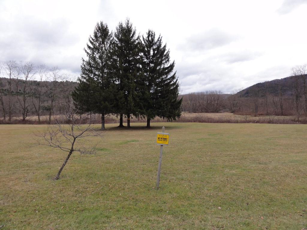 Photo: ossguy, CC BY-SA 2.0 (via Flickr)
Hog Hollow Trail
~14 min drive
0.62-mile point-to-point trail in New York with 192 ft elevation gain.
Photo: cm195902, CC BY 2.0 (via Flickr)Graham Mountain Herd Path
~22 min drive
1.93-mile out-and-back trail in New York with 838 ft gain

Map and trail data © OpenStreetMap contributors
