Pond Loop
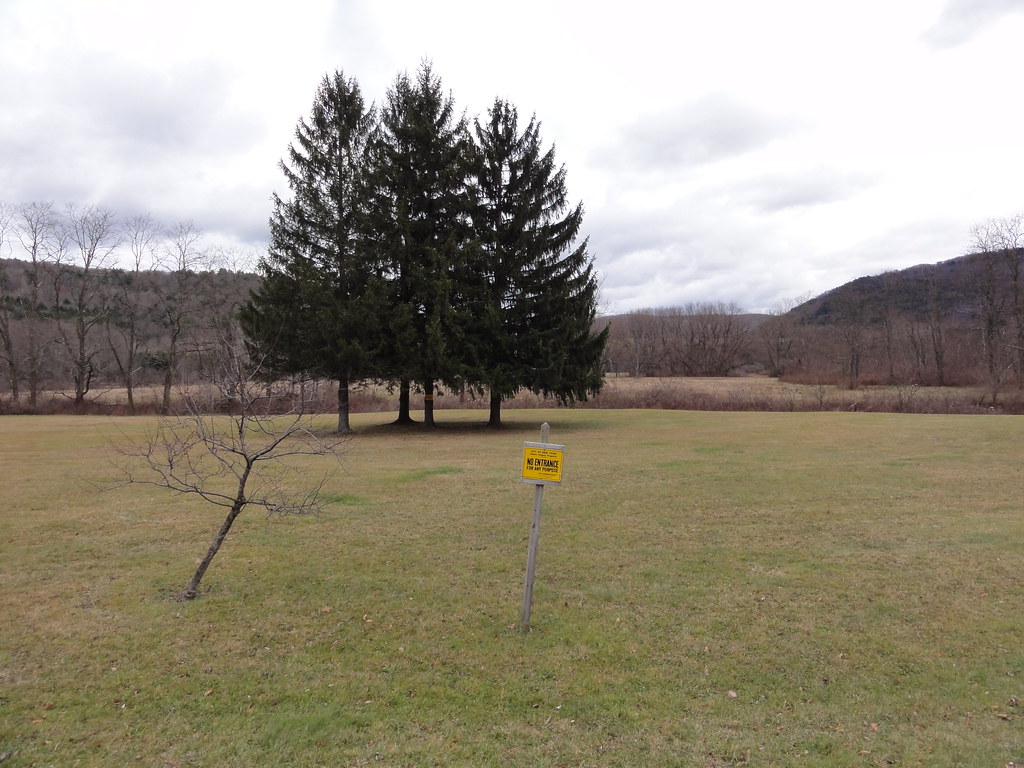
 Photo: Zilberman-Sands Photography, CC BY 2.0 (via Flickr)
- 1.4 mi
- one way
- 401 ft
- climb
- 1,828 ft
- high point
- Point to point
- route
- Apr–Oct
- best months
Pond Loop is a short hike of about 1.4 miles on city land in New York, set within the Shavertown Bridge area. The route is a point-to-point trail, about 400 feet of elevation gain, and it's rated easy. The estimated time is roughly half an hour. The trail has a high point of about 1,828 feet and a low point of about 1,305 feet. The steepest stretch, a grade of about 48%, comes around 0.7 miles in. The start sits at about 1,789 feet, and the route finishes with a drop of about 557 feet. The trail is dog-friendly, but it is not accessible to wheelchairs. Bikes are not allowed. For the most comfortable conditions, aim for late spring through early fall. Typical averages from a nearby weather station at Downsville Dam put June highs around 77°F and September highs around 73°F, with July the warmest month at about 81°F. Shavertown Trail lies just 0.2 miles away. Pelnor Hollow Trail and Andes Rail Trail are within about 6 miles, and Campbell Mountain Trail is about 6.7 miles off.
Local outfitters
- Catskill Outfitters26 mi away
Not on Roamze yet. Their page has how to reach them.
- Shavertown TrailHikingPhoto: Zilberman-Sands Photography, CC BY 2.0 (via Flickr)0.2 mi
 Campground TrailHikingPhoto: javajoe6, CC BY-SA 3.0 (via Wikimedia Commons)4.8 mi
 Pelnor Hollow TrailHikingPhoto: javajoe6, CC BY-SA 3.0 (via Wikimedia Commons)5 mi
 Andes Rail TrailHikingPhoto: ke9tv, CC BY-SA 2.0 (via Flickr)5.7 mi
- Bullet HoleHikingPhoto: ke9tv, CC BY-SA 2.0 (via Flickr)5.7 mi
- Campbell Mountain TrailHiking6.7 mi
- Trout Pond TrailHiking7.6 mi
- Huckleberry LoopHiking8 mi
Source: Roamze catalog (indexable pages within 10 miles, PostGIS distance)
- Shavertown TrailHiking · Next doorPhoto: Zilberman-Sands Photography, CC BY 2.0 (via Flickr)
- Andes Rail TrailHiking · ~10 min drivePhoto: ke9tv, CC BY-SA 2.0 (via Flickr)
 Dry Brook Ridge TrailHiking · ~21 min drivePhoto: cm195902, CC BY 2.0 (via Flickr)
- Huckleberry LoopHiking · ~14 min drive
- Campground TrailHiking · ~8 min drivePhoto: javajoe6, CC BY-SA 3.0 (via Wikimedia Commons)
- Bullet HoleHiking · ~10 min drivePhoto: ke9tv, CC BY-SA 2.0 (via Flickr)
- Pelnor Hollow TrailHiking · ~8 min drivePhoto: javajoe6, CC BY-SA 3.0 (via Wikimedia Commons)
 Hog Hollow TrailHiking · ~14 min drivePhoto: ossguy, CC BY-SA 2.0 (via Flickr)
 Mud Pond TrailHiking · ~15 min drivePhoto: andyarthur, CC BY 2.0 (via Flickr)
- Upper Meadow LoopHiking · ~14 min drive
Best time to visit Pond Loop
Best months: April–October. Best months have typical highs of 55–85 °F, lows of 30 °F or warmer (32 °F where the station doesn't record snow), at most one snowy day and no more than 12 wet days.
Jan
33° / 12°
Feb
36° / 12°
Mar
44° / 20°
Apr
57° / 32°
May
69° / 42°
Jun
77° / 52°
Jul
81° / 56°
Aug
79° / 55°
Sep
73° / 49°
Oct
61° / 37°
Nov
49° / 27°
Dec
37° / 19°
Typical high / low (°F) and days with rain or snow, 1991–2020. Measured at Downsville Dam, NY, 8.6 mi away at 1,200 ft. The station sits about 600 ft lower than this place, so expect it a little cooler here. This station doesn't record snowfall. Source: NOAA NCEI U.S. Climate Normals 1991–2020.

Map and trail data © OpenStreetMap contributors
