Tivoli Commons Access (Blue) Trail
- 1.2 mi
- round trip
- 347 ft
- climb
- 162 ft
- high point
- Out and back
- route
- May–Jun, Aug–Oct
- best months
Tivoli Commons Access (Blue) Trail is an easy out-and-back hike of about 2.4 miles in Tivoli Bays WMA, managed by the State Department of Conservation in New York. The trail starts about 0.8 miles from the town of Tivoli. The route rises to a high point of about 162 feet and drops back to about 90 feet, with a total climb of about 347 feet for the round trip. The steepest stretch comes at about 0.54 miles in, with a grade of about 6 percent. For comfortable weather, aim for late spring or early fall. Typical averages from a nearby weather station in Rhinebeck show May highs around 73°F and September highs around 77°F, with July the warmest month at about 86°F. The Hudson Valley Greenway Trail (Tivoli to Olana) lies about 0.9 miles away, and the Bot-Rock climbing area is about 1.6 miles off. Farther out, Loop A is about 6.7 miles away and Plattekill Creek offers canoeing about 7 miles away.
Local outfitters
- Catskill Outfitters20 mi away
Not on Roamze yet. Their page has how to reach them.
- Hudson Valley Greenway Trail (Tivoli to Olana)Hiking0.9 mi
- Bot-RockRock climbing1.6 mi
 Loop AHikingPhoto: New York Public Library, No restrictions (via Wikimedia Commons)6.7 mi
- Plattekill CreekCanoeing7 mi
- Hudson Valley Greenway Trail (East Kingston to Tivoli)Hiking7.1 mi
- Blue TrailHiking7.9 mi
- Gorge TrailHiking8.3 mi
 Blue LoopHikingPhoto: Saucy Salad, CC BY 2.0 (via Flickr)8.9 mi
Source: Roamze catalog (indexable pages within 10 miles, PostGIS distance)
- Loop AHiking · ~12 min drivePhoto: New York Public Library, No restrictions (via Wikimedia Commons)
 Onteora Lake LoopHiking · ~17 min drivePhoto: Russ Nelson, CC BY-SA 2.0 (via Flickr)
 Hudson Valley Greenway Trail (Kingston)Hiking · ~19 min drivePhoto: New York Public Library, No restrictions (via Wikimedia Commons)
- Blue LoopHiking · ~15 min drivePhoto: Saucy Salad, CC BY 2.0 (via Flickr)
 Devil's PathHiking · ~18 min drivePhoto: New York Public Library, No restrictions (via Wikimedia Commons)
 Poet's Ledge TrailHiking · ~19 min drivePhoto: andyarthur, CC BY 2.0 (via Flickr)
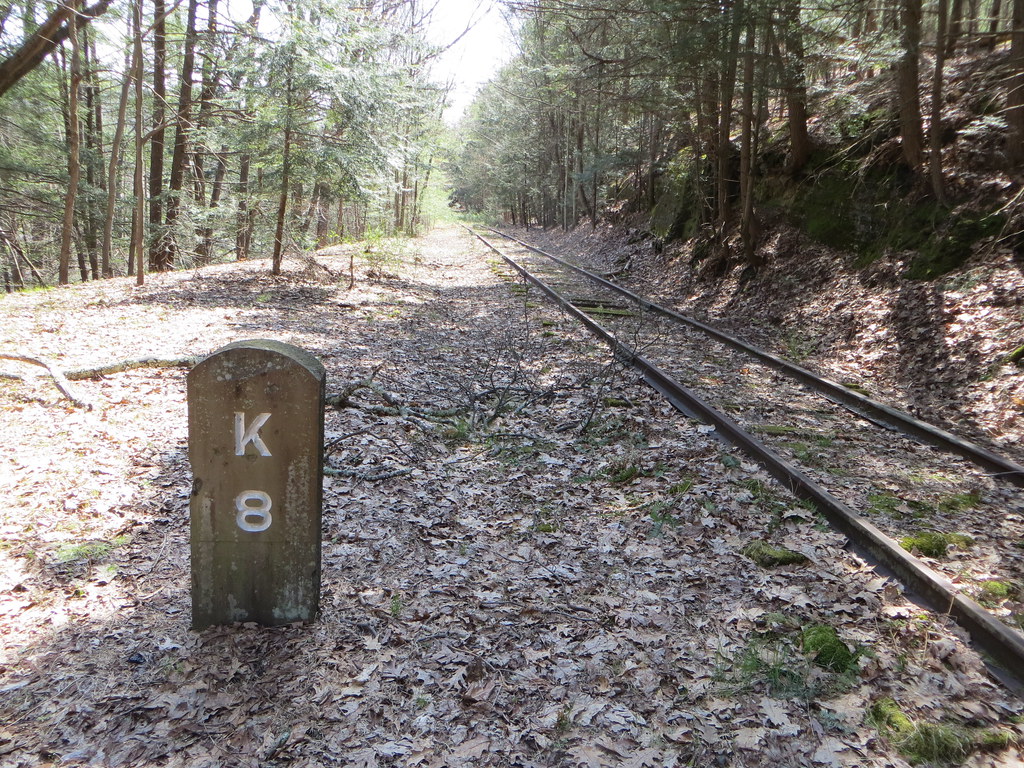 Quarry LoopHiking · ~16 min drivePhoto: Russ Nelson, CC BY-SA 2.0 (via Flickr)
 Twilight Park TrailHiking · ~21 min drivePhoto: Alexander Gude, CC BY-SA 3.0 (via Wikimedia Commons)
 Escarpment TrailHiking · ~20 min drivePhoto: Andy Arthur, CC BY 2.0 (via Wikimedia Commons)
- Pickerel Pond LoopHiking · ~16 min drivePhoto: Saucy Salad, CC BY 2.0 (via Flickr)
Best time to visit Tivoli Commons Access (Blue) Trail
Best months: May–June and August–October. Best months have typical highs of 55–85 °F, lows of 30 °F or warmer (32 °F where the station doesn't record snow), at most one snowy day and no more than 12 wet days.
Jan
37° / 11°
11 wet
Feb
40° / 12°
8 wet
Mar
49° / 20°
11 wet
Apr
62° / 31°
11 wet
May
73° / 43°
12 wet
Jun
81° / 51°
11 wet
Jul
86° / 56°
10 wet
Aug
84° / 55°
10 wet
Sep
77° / 47°
10 wet
Oct
65° / 35°
11 wet
Nov
53° / 26°
10 wet
Dec
42° / 17°
11 wet
Typical high / low (°F) and days with rain or snow, 1991–2020. Measured at Rhinebeck 4se, NY, 11.4 mi away at 301 ft. This station doesn't record snowfall. Source: NOAA NCEI U.S. Climate Normals 1991–2020.
Map and trail data © OpenStreetMap contributors
