Star Field Trail
- 1.8 mi
- round trip
- 725 ft
- climb
- 1,810 ft
- high point
- Out and back
- route
- Jun–Sep
- best months
Star Field Trail is an easy out-and-back hike in New York, about 0.8 miles from Cooperstown. The trail is 3.6 miles long, with a total climb of 725 feet and a total descent of 725 feet. The route is rolling, and the steepest stretch comes at about 1.5 miles in, where the grade reaches 14 percent. Summer is the most comfortable time to go. Typical averages from a nearby weather station in Cooperstown show July highs around 73°F with lows near 59°F, while winter brings highs in the 20s and regular snow days from December through February. The Susquehanna River is about 0.9 miles away for paddling. Andy's Trail and the Oaks Creek Blueway Trail are both about 4.8 miles off, and Canadarago Lake Circumnavigation is roughly 9.3 miles away.
Conditions and forecast on Bliss Round Top
Daily highs and lows, wind and the chance of precipitation at the summit and route start for the next 7 days, from the Open-Meteo model.
 Susquehanna RiverCanoeingPhoto: Derek Ramsey, CC BY-SA 2.5 (via Wikimedia Commons)0.9 mi
- Oaks Creek Blueway TrailCanoeing4.8 mi
- Andy's TrailHiking4.8 mi
 Cherry Valley CreekCanoeingPhoto: 420Traveler, CC BY-SA 4.0 (via Wikimedia Commons)7.9 mi
- Canadarago Lake CircumnavigationCanoeing9.3 mi
Source: Roamze catalog (indexable pages within 10 miles, PostGIS distance)
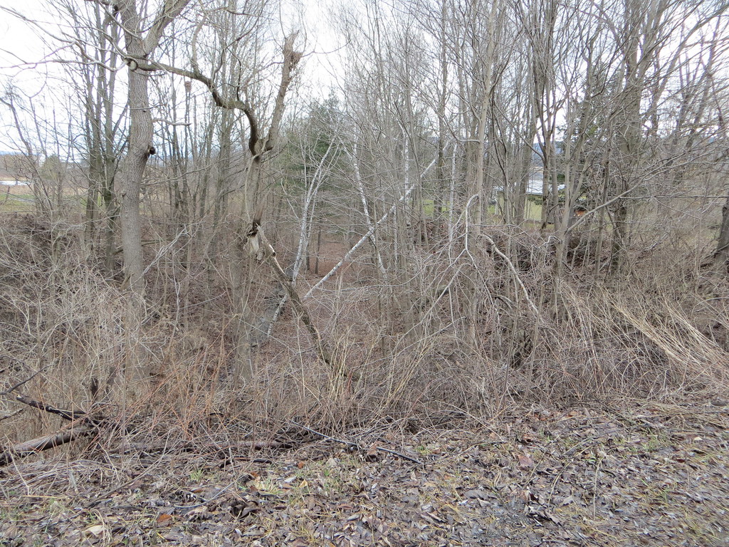 Orange TrailHiking · ~34 min drivePhoto: Russ Nelson, CC BY-SA 2.0 (via Flickr)
 Erie Canalway Trail (Little Falls to Canajoharie)Hiking · ~40 min drivePhoto: Schezar, CC BY 2.0 (via Flickr)
 Yellow TrailHiking · ~50 min drivePhoto: Dougtone, CC BY-SA 2.0 (via Wikimedia Commons)
 Emmons Pond Bog TrailHiking · ~34 min drivePhoto: Paul and Jill, CC BY 2.0 (via Flickr)
- Catskill Scenic TrailHiking · ~45 min drive
- Catskill Scenic TrailHiking · ~44 min drive
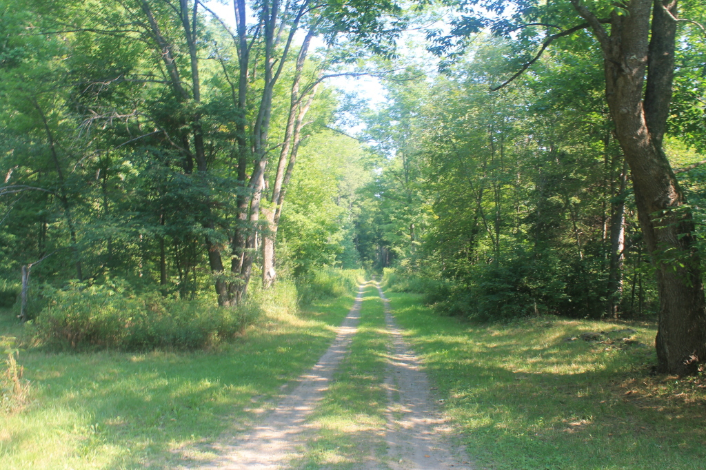 Nys Truck TrailHiking · ~39 min drivePhoto: andyarthur, CC BY 2.0 (via Flickr)
- Erie Canalway Trail (Utica to Frankfort)Hiking · ~55 min drive
- Catskill Scenic TrailHiking · ~44 min drive
 Truck Trail 8Hiking · ~40 min drivePhoto: andyarthur, CC BY 2.0 (via Flickr)
Also worth it near here
- Fish Road Boat LaunchBoat launch · ~1 min drive
- Susquehanna RiverCanoeing · ~1 min drivePhoto: Derek Ramsey, CC BY-SA 2.5 (via Wikimedia Commons)
 Leatherstocking FallsWaterfall · ~4 min drivePhoto: Cooley, A. A. -- Photographer, Public domain (via Wikimedia Commons)
 Mount WellingtonSummit · ~13 min drivePhoto: 420Traveler, CC BY-SA 4.0 (via Wikimedia Commons)
Best time to visit Star Field Trail
Best months: June–September. Best months have typical highs of 55–85 °F, lows of 30 °F or warmer (32 °F where the station doesn't record snow), at most one snowy day and no more than 12 wet days.
Jan
23° / 14°
14 wet · 10 snow
Feb
26° / 14°
12 wet · 9 snow
Mar
34° / 22°
13 wet · 7 snow
Apr
48° / 34°
13 wet · 2 snow
May
60° / 45°
13 wet
Jun
68° / 54°
12 wet
Jul
73° / 59°
12 wet
Aug
71° / 57°
12 wet
Sep
64° / 50°
11 wet
Oct
52° / 39°
14 wet · 1 snow
Nov
39° / 30°
13 wet · 4 snow
Dec
29° / 21°
14 wet · 8 snow
Typical high / low (°F) and days with rain or snow, 1991–2020. Measured at Cooperstown, NY, 1.3 mi away at 1,257 ft. The station sits about 600 ft lower than this place, so expect it a little cooler here. Source: NOAA NCEI U.S. Climate Normals 1991–2020.
Route details
- Distance
- 1.8 mi round trip
- Climbing
- About 725 ft
- Summit
- 1,826 ft
- Difficulty
- Easy
- Time
- About 1 hour
Questions about this route
How long is the Star Field Trail on Bliss Round Top?
About 1.8 mi round trip.
How much elevation gain is on the Star Field Trail?
About 725 ft of climbing round trip.
How hard is the Star Field Trail?
It is rated easy.
How long does the Star Field Trail take?
About 1 hour round trip.
Map and trail data © OpenStreetMap contributors
