South Taconic Trail
- 18.7 mi
- one way
- 4,690 ft
- climb
- 2,314 ft
- high point
- Point to point
- route
- Jul–Oct
- best months
The South Taconic Trail is a long, steep hike in Taconic State Park in New York, managed by State Park and Recreation. It is a point-to-point route of about 18.7 miles, with a total elevation gain of 4,690 feet and a high point of 2,314 feet. The climb is rolling, but it reaches a steepest grade of 37% at about 11.7 miles, and the trail drops back to 717 feet at its low point. The route is rated expert, and it is not open to bikes or horses. The most comfortable months for a hike are typically July and August, when typical averages from a nearby weather station run from highs of 76 to 78°F and lows near 58°F. That station sits about 974 feet lower than the trail's high point, so temperatures on the summit run cooler. The trip is estimated to take about 8.5 hours. Within a few miles are the Von Ahn Preserve - Loop Trail and Twin Oaks Trails in Connecticut, and Sage's Ravine campground and the Waterfall Basin Boulders climbing area are both about 6.4 miles away.
Local outfitters
- Catskill Outfitters42 mi away
Not on Roamze yet. Their page has how to reach them.
Conditions and forecast on Brace Mountain
Daily highs and lows, wind and the chance of precipitation at the summit and route start for the next 7 days, from the Open-Meteo model.
- Von Ahn Preserve - Loop TrailHiking3.6 mi
- Twin Oaks TrailsHiking3.8 mi
- Pope Preserve loop trailHiking4.5 mi
- Sage's RavineCamping6.4 mi
- Waterfall Basin BouldersRock climbing6.4 mi
- Showcase BoulderRock climbing6.4 mi
- Reed Brook RoofRock climbing8.2 mi
- Housatonic RiverRiver fishing10 mi
Source: Roamze catalog (indexable pages within 10 miles, PostGIS distance)
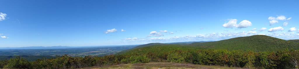 Mt. FrissellHiking · ~10 min drivePhoto: cm195902, CC BY 2.0 (via Flickr)
- Laurel TrailHiking · ~11 min drivePhoto: cm195902, CC BY 2.0 (via Flickr)
- Mohawk TrailHiking · ~19 min drive
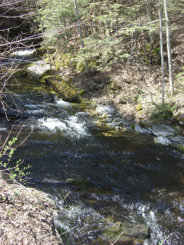 Appalachian TrailHiking · ~11 min drivePhoto: Dougtone, CC BY-SA 2.0 (via Flickr)
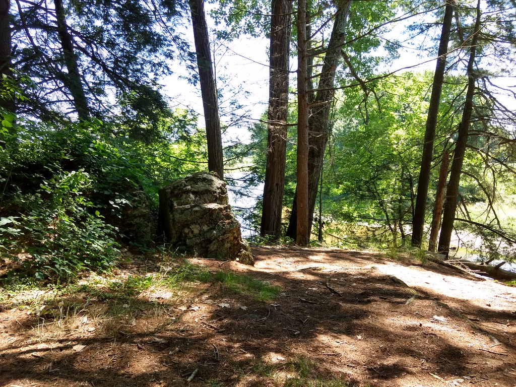 Bailey TrailHiking · ~17 min drivePhoto: bradipo, CC BY 2.0 (via Flickr)
 Robert Brook TrailHiking · ~12 min drivePhoto: Russ Nelson, CC BY-SA 2.0 (via Flickr)
 Cedar Brook (Blue) TrailHiking · ~19 min drivePhoto: Ktr101, CC BY-SA 2.0 (via Flickr)
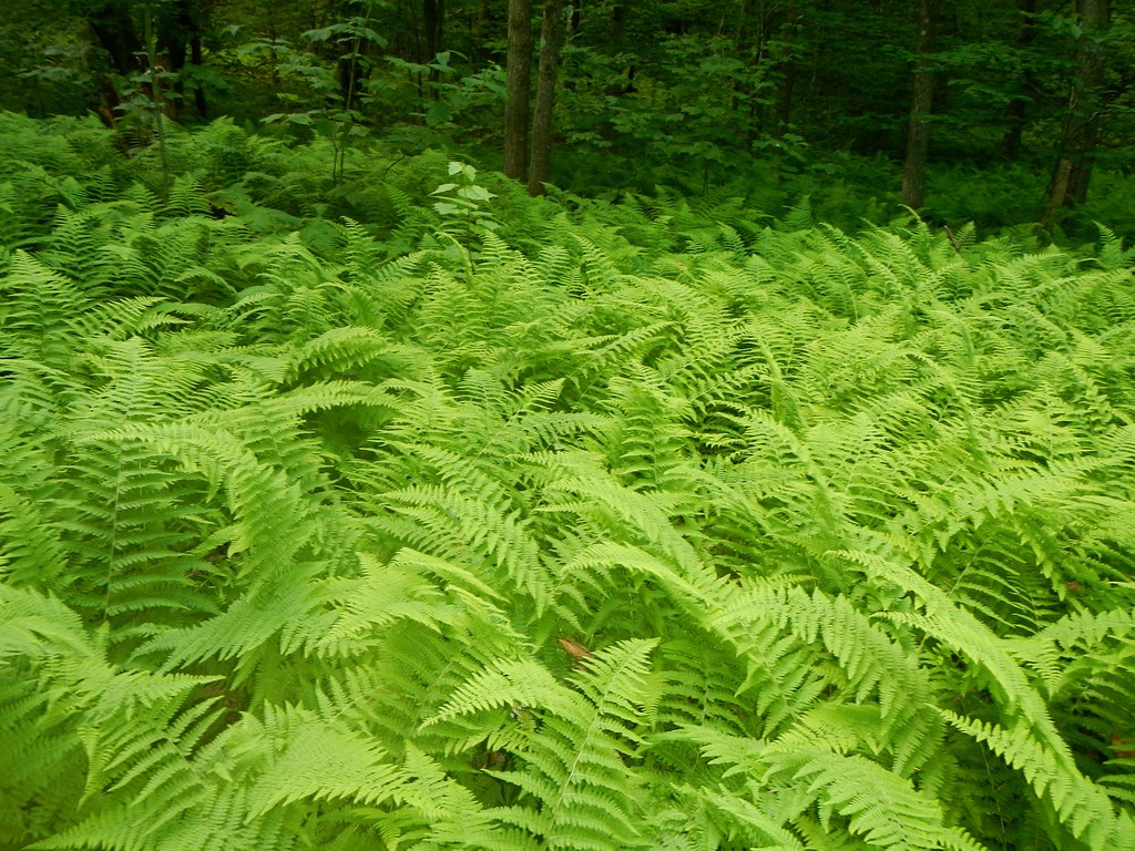 Race Brook TrailHiking · ~16 min drivePhoto: John Hayes (gravelboy), CC BY 2.0 (via Flickr)
- Wolf Hill Loop TrailHiking · ~3 min drive
- Elbow TrailHiking · ~19 min drivePhoto: John Hayes (gravelboy), CC BY 2.0 (via Flickr)
Best time to visit South Taconic Trail
Best months: July–October. Best months have typical highs of 55–85 °F, lows of 30 °F or warmer (32 °F where the station doesn't record snow), at most one snowy day and no more than 12 wet days.
Jan
30° / 14°
13 wet · 9 snow
Feb
32° / 15°
12 wet · 8 snow
Mar
40° / 23°
13 wet · 7 snow
Apr
54° / 34°
13 wet · 2 snow
May
65° / 45°
14 wet
Jun
73° / 55°
13 wet
Jul
78° / 59°
12 wet
Aug
76° / 58°
11 wet
Sep
69° / 51°
11 wet
Oct
57° / 40°
12 wet
Nov
45° / 30°
12 wet · 3 snow
Dec
35° / 21°
14 wet · 7 snow
Typical high / low (°F) and days with rain or snow, 1991–2020. Measured at Norfolk 2 Sw, CT, 14.3 mi away at 1,340 ft. The station sits about 1,000 ft lower than this place, so expect it a little cooler here. Source: NOAA NCEI U.S. Climate Normals 1991–2020.
Route details
- Distance
- 18.7 mi
- Climbing
- About 4,690 ft
- Summit
- 2,315 ft
- Difficulty
- Expert
- Time
- About 9 hours
Questions about this route
How long is the South Taconic Trail on Brace Mountain?
About 18.7 mi.
How much elevation gain is on the South Taconic Trail?
About 4,690 ft of climbing round trip.
How hard is the South Taconic Trail?
It is rated expert.
How long does the South Taconic Trail take?
About 9 hours round trip.
Map and trail data © OpenStreetMap contributors
