Iron Bill
 Photo: New York Public Library, No restrictions (via Wikimedia Commons)
- 0.7 mi
- round trip
- 502 ft
- climb
- 1,870 ft
- high point
- Out and back
- route
- May–Sep
- best months
Iron Bill is a short, easy hike on Town of Harrietstown land in New York, a small out-and-back that rises from about 1,719 feet to 1,870 feet over a 1.5-mile route. The climb is gentle, with a total elevation gain of 120 feet, and the trail is managed by city land. The steepest part of the route comes early, about 0.14 miles in, where the grade reaches 22 percent. That makes it a good choice for a quick outing, and it pairs easily with other trails in the area. Summer is the most comfortable time to go. Typical averages from a nearby weather station at Ray Brook run to highs around 74°F in July with lows near 53°F. Winter is harsh, with January highs around 23°F and lows near 5°F. Mumbly Peg, Sorry and the West Side Snowshoe Trail all sit about 0.1 mile away. Baker Mountain, a climbing area, lies about 2.6 miles off.
Local outfitters
- Cloudsplitter Outfitters24 mi away
- Great Camp Sagamore45 mi away
Not on Roamze yet. Their page has how to reach them.
Best time to go · May–Sep
Best time to visit Iron Bill
Best months: May–September. Best months have typical highs of 55–85 °F, lows of 30 °F or warmer (32 °F where the station doesn't record snow), at most one snowy day and no more than 12 wet days.
Jan
23° / 5°
Feb
25° / 5°
Mar
34° / 14°
Apr
48° / 27°
May
61° / 39°
Jun
70° / 49°
Jul
74° / 53°
Aug
72° / 51°
Sep
66° / 44°
Oct
52° / 36°
Nov
40° / 26°
Dec
27° / 15°
Typical high / low (°F) and days with rain or snow, 1991–2020. Measured at Ray Brook, NY, 2.6 mi away at 1,620 ft. This station doesn't record snowfall. Source: NOAA NCEI U.S. Climate Normals 1991–2020.
Keep exploring — more trails worth the drive
 Photo: New York Public Library, No restrictions (via Wikimedia Commons)
West Side Snowshoe Trail
Next door
0.61-mile snowshoe trail in New York with 132 ft elevation gain.
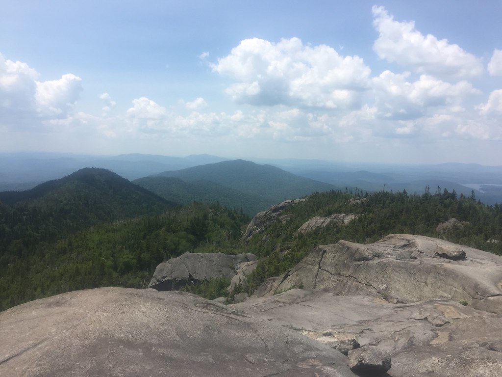 Photo: runJMrun — CC BY 2.0 (via Flickr)
Ampersand Mountain Trail
~11 min drive
2.47-mile point-to-point trail in New York with 1,784 ft elevation loss
HIKE
Jackrabbit Trail
~6 min drive
10.92-mile out-and-back hike in New York with 2,163 ft elevation gain
Photo: New York Public Library, No restrictions (via Wikimedia Commons)Sorry
Next door
0.68-mile out-and-back trail in New York with 175 ft elevation gain.
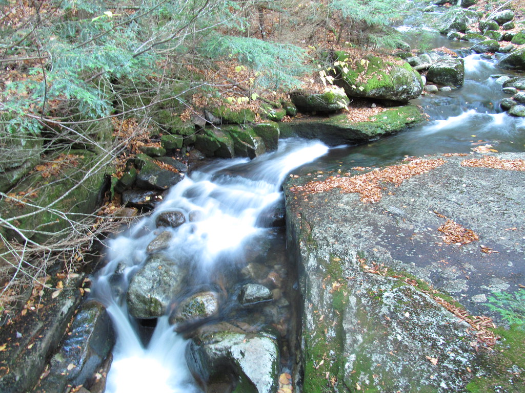 Photo: ke9tv, CC BY-SA 2.0 (via Flickr)
Old Northville-Placid Trail
~15 min drive
2.73-mile out-and-back hike in New York with 415 ft elevation gain.
Photo: New York Public Library, No restrictions (via Wikimedia Commons)East Side Snowshoe Trail
Next door
0.47-mile out-and-back snowshoe trail in New York with 282 ft elevation gain.
HIKE
Baker Mountain Trail
~4 min drive
1.58-mile loop with 844 ft gain in New York
Photo: New York Public Library, No restrictions (via Wikimedia Commons)Cookie Monster
Next door
0.42-mile out-and-back trail in New York with 106 ft elevation gain.
HIKE
Adirondack Rail Trail
~6 min drive
6.22-mile out-and-back rail trail in New York with 638 ft gain/loss
 Photo: New York Public Library, No restrictions (via Wikimedia Commons)
Adirondack Rail Trail
~3 min drive
2.3-mile out-and-back trail in New York with 146 ft elevation gain
Map and trail data © OpenStreetMap contributors
