Graymoor Hiker Campsite
Campground
Campground · 6.1 mi from the trail
Rocky Glen is a short, easy hike on county land in Westchester, New York, about a mile from the town of Montrose. The trail is a point-to-point route of about a mile, with a climb of about 230 feet from a low of roughly 220 feet to a high of about 425 feet. The most comfortable months for a visit are typically late spring through early fall, when typical averages from a nearby weather station in Shrub Oak run from highs around 71°F in May to about 75°F in September. Winters there are cold, with January highs near 37°F and lows around 17°F. The trail is rated easy, takes about half an hour to walk, and is open to both bikes and horses. It makes an easy add-on to other outings in the area, and several other destinations sit within a few tenths of a mile. My Favorite Trail and Stinger are both hiking options, and the Washington Street Trail is a mountain biking route. Rocky Glen Pond, a climbing area, is about half a mile away.
Graymoor Hiker Campsite
Campground
Nonna's of Buchanan
Restaurant
 If it rainsDaniel Case, CC BY-SA 3.0 · Wikimedia Commons
American Revolutionary War fort near West Point on the Hudson River
Places © OpenStreetMap contributors · Photos: Daniel Case, CC BY-SA 3.0 (commons)
More in Mount KiscoNot on Roamze yet. Their page has how to reach them.
Best months: April–October. Best months have typical highs of 55–85 °F, lows of 30 °F or warmer (32 °F where the station doesn't record snow), at most one snowy day and no more than 12 wet days.
Jan
37° / 17°
Feb
39° / 20°
Mar
48° / 26°
Apr
60° / 36°
May
71° / 47°
Jun
79° / 56°
Jul
84° / 61°
Aug
83° / 60°
Sep
75° / 52°
Oct
64° / 41°
Nov
52° / 31°
Dec
41° / 24°
Typical high / low (°F) and days with rain or snow, 1991–2020. Measured at Shrub Oak, NY, 6.3 mi away at 462 ft. This station doesn't record snowfall. Source: NOAA NCEI U.S. Climate Normals 1991–2020.
 Photo: Bryan Pocius, CC BY 2.0 (via Flickr)
Riverwalk
~3 min drive
Easy riverside out-and-back walk with minimal elevation gain.
 Photo: Original uploader was CharlesHBennett at en.wikipedia, CC BY 3.0 (via Wikimedia Commons)
Fire Tower Trail
~6 min drive
4.32-mile out-and-back hike in New York with 1,328 ft of elevation gain
Photo: Original uploader was CharlesHBennett at en.wikipedia, CC BY 3.0 (via Wikimedia Commons)Valeria Loop
~3 min drive
2.42-mile out-and-back trail in New York with 643 ft elevation gain
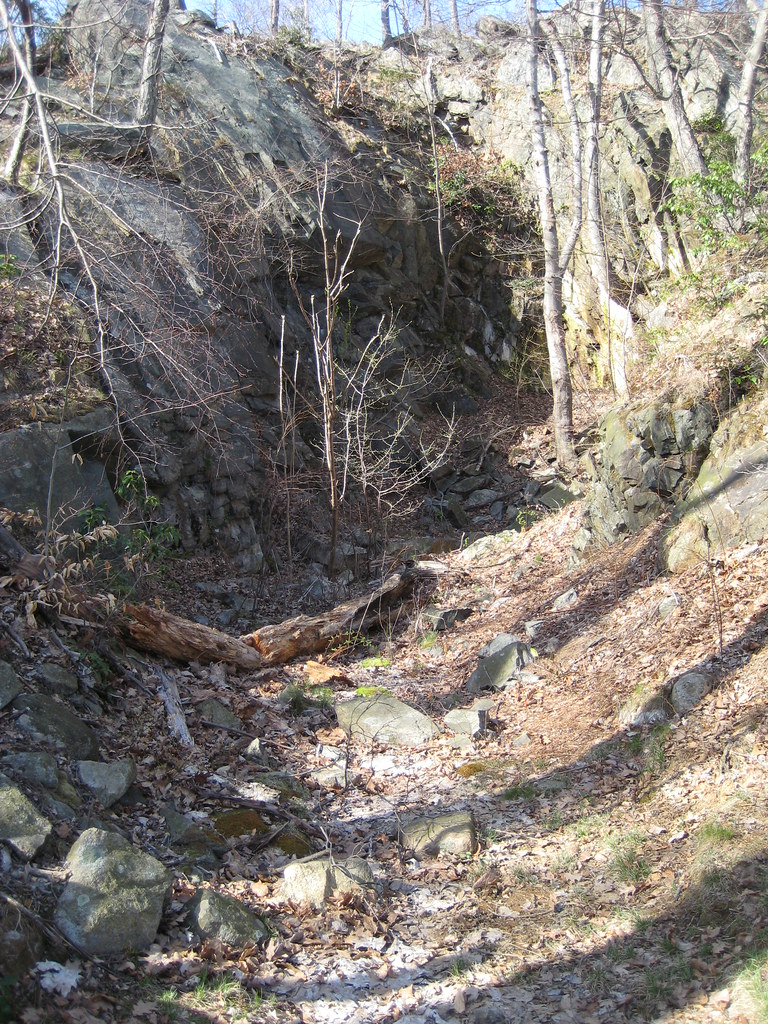 Photo: Russ Nelson, CC BY-SA 2.0 (via Flickr)
1777 Trail
~8 min drive
2.86-mile point-to-point trail in New York with 1,543 ft elevation loss
 Photo: Magicpiano, CC BY-SA 4.0 (via Wikimedia Commons)
Highland Trail
~5 min drive
Scenic point-to-point highland hike with elevated views.
HIKE
Stinger
Next door
Quick 1.6-mile point-to-point trail in New York.
Photo: Original uploader was CharlesHBennett at en.wikipedia, CC BY 3.0 (via Wikimedia Commons)Richards Way
~5 min drive
1.18-mile out-and-back trail in New York with 413 ft gain
HIKE
Blue Mountain Summit Trail
~2 min drive
0.51-mile point-to-point trail in New York with 183 ft gain.
 Photo: Russ Nelson, CC BY-SA 2.0 (via Flickr)
Jones Trail
~7 min drive
Jones Trail is a 1.02-mile point-to-point trail in New York with 350 feet of elevation gain.
HIKE
White Trail
~4 min drive
Quick point-to-point trail under 1 mile in New York.
Map and trail data © OpenStreetMap contributors
