Eagle Point Campground
Campground
Campground · 6.2 mi from the trail
Clear at last check
Weather is good · OpenWeather · checked 21 h ago
The Perimeter Loop Trail is a 1.6-mile loop on Town of Chester Land in New York, rated an easy hike with a total elevation gain of 453 feet. The trail starts at about 903 feet and reaches a high point of 977 feet before returning to nearly the same level, making it a low-elevation, balanced outing that works well as a standalone walk. Summer is the most comfortable time to go. Typical averages from the Conklingville Dam weather station, about 24 miles away, show July highs near 77°F and lows around 60°F, with September still reaching the upper 60s. Snow is common from December through February, with January highs averaging about 28°F. The trip takes about an hour to complete. Fish Loop Trail sits just 0.4 miles away, and Palmer Pond trail is about 4 miles off. Meade mountain trail and Long Pond Trail are a little farther, at about 4.5 and 7 miles.
Eagle Point Campground
Campground
Town of Horicon Museum
Museum
Places © OpenStreetMap contributors, Places © Overture Maps Foundation
More in Schroon LakeNot on Roamze yet. Their page has how to reach them.
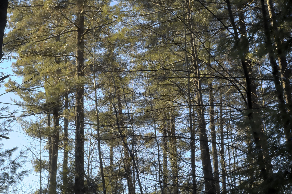 Fish Loop TrailHikingPhoto: CarbonNYC [in SF!], CC BY 2.0 (via Flickr)0.4 mi
Source: Roamze catalog (indexable pages within 10 miles, PostGIS distance)
Fish Loop TrailHiking · Next doorPhoto: CarbonNYC [in SF!], CC BY 2.0 (via Flickr)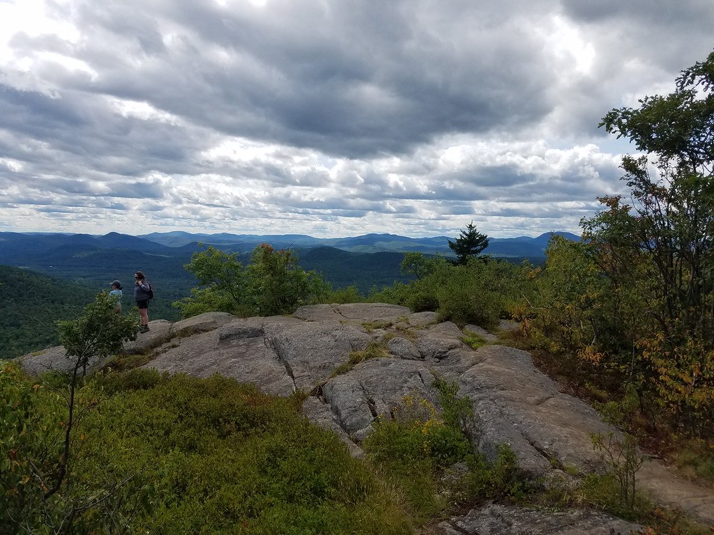 Richard Hayes Phillips TrailHiking · ~13 min drivePhoto: ke9tv, CC BY-SA 2.0 (via Flickr)
 Raymond Brook Ski TrailHiking · ~19 min drivePhoto: Russ Nelson, CC BY-SA 2.0 (via Flickr)Cat Mountain Blue TrailHiking · ~13 min drivePhoto: ke9tv, CC BY-SA 2.0 (via Flickr)
 Pinnacle Red TrailHiking · ~16 min drivePhoto: New York Public Library, No restrictions (via Wikimedia Commons)
 Crane Mountain PathHiking · ~21 min drivePhoto: andyarthur, CC BY 2.0 (via Flickr)Cat Mountain Red TrailHiking · ~13 min drivePhoto: ke9tv, CC BY-SA 2.0 (via Flickr)
 Schaefer Foot TrailHiking · ~18 min drivePhoto: ceonyc, CC BY-SA 2.0 (via Flickr)
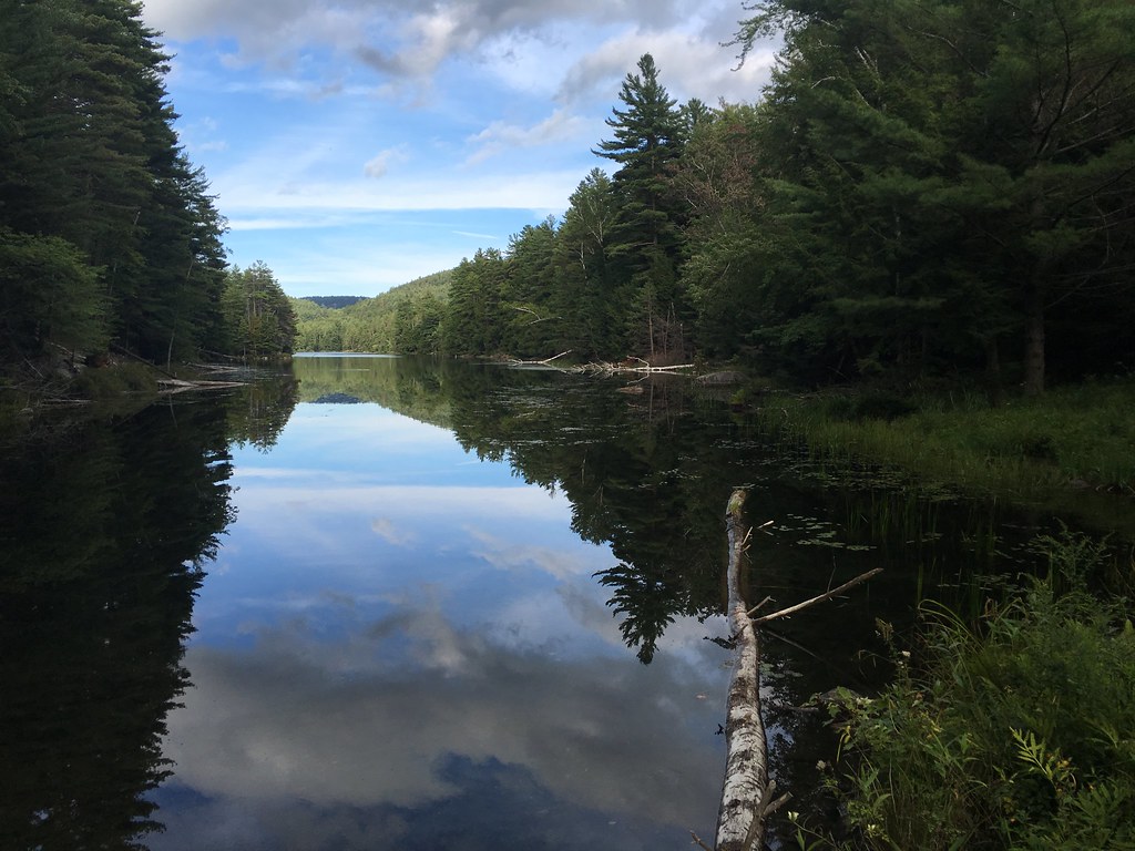 Springhill Ponds TrailHiking · ~21 min drivePhoto: tracy the astonishing, CC BY-SA 2.0 (via Flickr)
 old logging trailHiking · ~13 min drivePhoto: ke9tv, CC BY-SA 2.0 (via Flickr)
Best months: May–October. Best months have typical highs of 55–85 °F, lows of 30 °F or warmer (32 °F where the station doesn't record snow), at most one snowy day and no more than 12 wet days.
Jan
28° / 12°
12 wet · 7 snow
Feb
32° / 13°
10 wet · 6 snow
Mar
40° / 22°
11 wet · 4 snow
Apr
53° / 34°
10 wet · 1 snow
May
65° / 46°
11 wet
Jun
73° / 55°
10 wet
Jul
77° / 60°
10 wet
Aug
76° / 59°
9 wet
Sep
69° / 51°
8 wet
Oct
57° / 40°
10 wet
Nov
45° / 31°
10 wet · 2 snow
Dec
34° / 21°
12 wet · 5 snow
Typical high / low (°F) and days with rain or snow, 1991–2020. Measured at Conklingville Dam, NY, 24.3 mi away at 808 ft. Source: NOAA NCEI U.S. Climate Normals 1991–2020.
Map and trail data © OpenStreetMap contributors
