Parish Trail (red)
- 1.4 mi
- round trip
- 893 ft
- climb
- 1,220 ft
- high point
- Out and back
- route
- Apr, Jun
- best months
Parish Trail (red) is an easy out-and-back hike in New York, about half a mile from the small community of Mosherville. The trail is roughly 2.7 miles long, with a total climb of about 893 feet from the low point of 1,006 feet to the high point of 1,220 feet. That makes it a steady climb over the course of the route, which starts and ends at the same elevation. The hike is most comfortable in late spring or early fall. Typical averages from a nearby weather station in Saratoga Springs show May highs around 73°F and September highs around 75°F, though that station sits nearly 900 feet below the trail, so temperatures on the ridge run cooler. The trip takes about 1.5 hours. Don Juan's Traverse (Blue trail) lies about 2.4 miles away, and the Orange Trail and Green Trail are each about 3 miles off. The Creekside Trail (RED) is roughly 4.9 miles away.
- Don Juan's Traverse (Blue trail)Hiking2.4 mi
- Orange TrailHiking3 mi
- Green TrailHiking3 mi
- Yellow TrailHiking3.1 mi
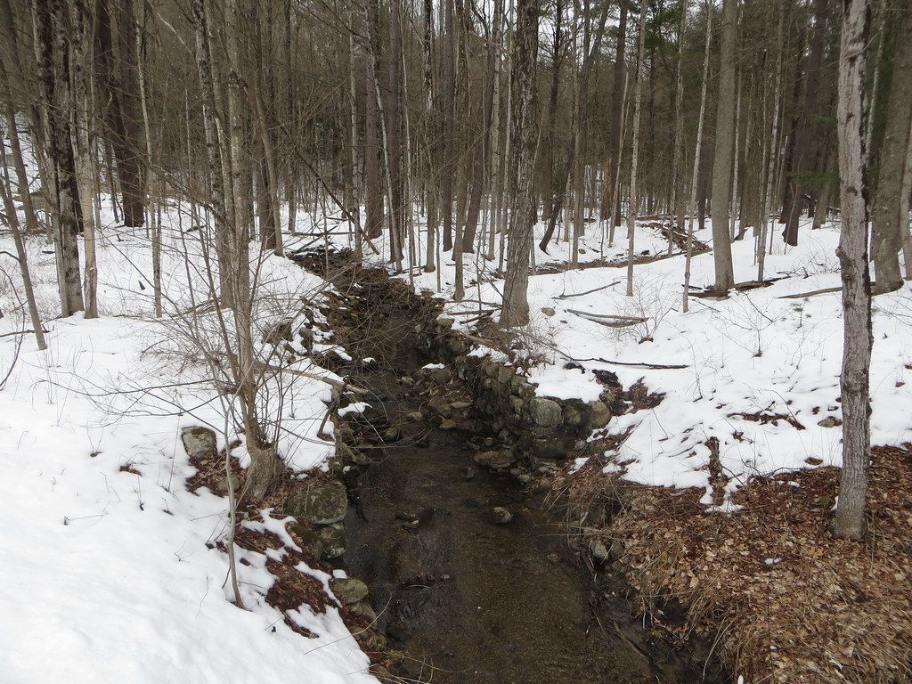 Creekside Trail (RED)HikingPhoto: Russ Nelson, CC BY-SA 2.0 (via Flickr)4.9 mi
- Railway Trail (BLUE)HikingPhoto: Russ Nelson, CC BY-SA 2.0 (via Flickr)4.9 mi
Source: Roamze catalog (indexable pages within 10 miles, PostGIS distance)
- Creekside Trail (RED)Hiking · ~8 min drivePhoto: Russ Nelson, CC BY-SA 2.0 (via Flickr)
 Five Mile TrailHiking · ~19 min drivePhoto: New York Public Library, No restrictions (via Wikimedia Commons)
 Mohawk-Hudson Bike-Hike Trail (Hike)Hiking · ~25 min drivePhoto: Dougtone, CC BY-SA 2.0 (via Wikimedia Commons)
- Railway Trail (BLUE)Hiking · ~8 min drivePhoto: Russ Nelson, CC BY-SA 2.0 (via Flickr)
 Fonda, Johnstown and Gloversville Rail TrailHiking · ~21 min drivePhoto: Russ Nelson, CC BY-SA 2.0 (via Flickr)
 Zim Smith TrailHiking · ~18 min drivePhoto: P_R_F, CC BY 2.0 (via Flickr)
- Zim Smith Mid-County TrailHiking · ~19 min drive
 Pitney Farm TrailHiking · ~19 min drivePhoto: ronmcc, CC BY 3.0 (via Wikimedia Commons)
- Spruce Mountain TrailHiking · ~19 min drive
 Zim Smith Mid-County TrailHiking · ~24 min drivePhoto: P_R_F, CC BY 2.0 (via Flickr)
Best time to visit Parish Trail (red)
Best months: April, June and August–October. Best months have typical highs of 55–85 °F, lows of 30 °F or warmer (32 °F where the station doesn't record snow), at most one snowy day and no more than 12 wet days.
Jan
32° / 14°
12 wet
Feb
35° / 16°
10 wet
Mar
45° / 25°
11 wet
Apr
60° / 36°
11 wet
May
73° / 47°
13 wet
Jun
80° / 56°
12 wet
Jul
84° / 61°
13 wet
Aug
82° / 59°
11 wet
Sep
75° / 52°
10 wet
Oct
62° / 41°
11 wet
Nov
49° / 31°
12 wet
Dec
37° / 22°
12 wet
Typical high / low (°F) and days with rain or snow, 1991–2020. Measured at Saratoga Springs 4 Sw, NY, 10.4 mi away at 326 ft. The station sits about 900 ft lower than this place, so expect it a little cooler here. This station doesn't record snowfall. Source: NOAA NCEI U.S. Climate Normals 1991–2020.
Map and trail data © OpenStreetMap contributors
