Oxbow Trail
- 1.0 mi
- loop
- 390 ft
- high point
- Loop
- route
- Easy
- difficulty
- Aug–Sep
- best months
Oxbow Trail is a short, easy hike of about a mile on Montezuma National Wildlife Refuge in New York, managed by the U.S. Fish and Wildlife Service. The route is nearly flat, with a high point of about 390 feet and a low of about 378 feet, and the steepest stretch comes early on, at about 4% grade. Late spring and early fall are the most comfortable times to go. Typical averages from a nearby weather station in Auburn show May highs around 69°F and September highs around 72°F, with July the warmest month at about 81°F. Several other trails sit within a couple of miles, including Aqueduct Trail and Lavoy's Trail at about 1.4 miles and Drumlin Trail at about 1.6 miles. Paddlers can reach the Cayuga-Seneca Canal Water Trail about 6.5 miles away.
Best time to go · Aug–Sep
Best time to visit Oxbow Trail
Best months: August–September. Best months have typical highs of 55–85 °F, lows of 30 °F or warmer (32 °F where the station doesn't record snow), at most one snowy day and no more than 12 wet days.
Jan
31° / 15°
19 wet
Feb
33° / 16°
15 wet
Mar
42° / 23°
15 wet
Apr
55° / 34°
15 wet
May
69° / 45°
15 wet
Jun
77° / 55°
13 wet
Jul
81° / 60°
13 wet
Aug
80° / 59°
12 wet
Sep
72° / 51°
11 wet
Oct
59° / 41°
16 wet
Nov
47° / 32°
17 wet
Dec
37° / 23°
19 wet
Typical high / low (°F) and days with rain or snow, 1991–2020. Measured at Auburn, NY, 10.5 mi away at 770 ft. This station doesn't record snowfall. Source: NOAA NCEI U.S. Climate Normals 1991–2020.
Keep exploring — more trails worth the drive
 Photo: seabamirum, CC BY 2.0 (via Flickr)
Aqueduct Trail
~2 min drive
0.48-mile point-to-point trail in New York with 57 ft gain
Photo: seabamirum, CC BY 2.0 (via Flickr)Drumlin Trail
~3 min drive
Short point-to-point trail through New York's glacial drumlin landscape.
HIKE
Erie Canalway Trail (Savannah to Port Byron)
~9 min drive
10.22-mile point-to-point trail from Savannah to Port Byron on the Erie Canalway in New York.
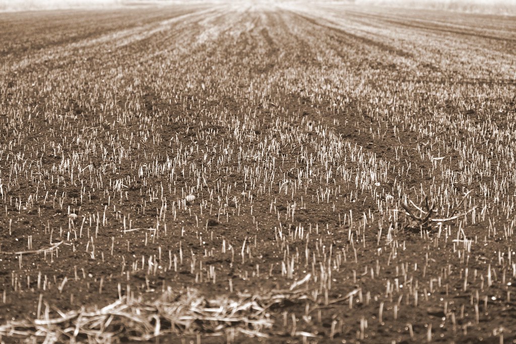 Photo: seabamirum, CC BY 2.0 (via Flickr)
Paper Mill Trail
~2 min drive
0.42-mile point-to-point trail in New York with 45 ft gain
 Photo: Carrotflower Productions International, CC BY-SA 2.0 (via Flickr)
Drumlin Trail
~38 min drive
0.73-mile point-to-point trail in New York with 173 ft gain
HIKE
Erie Canalway Trail (Newark to Savannah)
~32 min drive
20.20-mile point-to-point trail from Newark to Savannah on the Erie Canalway in New York.
Photo: seabamirum, CC BY 2.0 (via Flickr)Lavoy's Trail
~2 min drive
Lavoy's Trail is a 0.60-mile point-to-point trail in New York.
HIKE
Erie Canalway Trail (Camillus to Syracuse)
~41 min drive
9.02-mile point-to-point trail from Camillus to Syracuse on the Erie Canalway.
HIKE
Cato-Fairhaven Trail
~35 min drive
25.42-mile out-and-back hike in New York with 1,708 ft gain and 486 ft max elevation.
 Photo: Magicpiano, CC BY-SA 4.0 (via Wikimedia Commons)
Locktender's Trail
~3 min drive
0.30-mile point-to-point trail in New York with 82 ft gain
Map and trail data © OpenStreetMap contributors
