Drumlin Trail
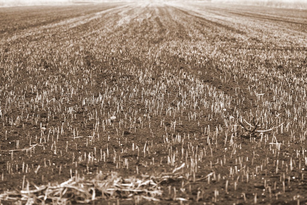
 Photo: seabamirum, CC BY 2.0 (via Flickr)
- 0.4 mi
- one way
- 29 ft
- climb
- 456 ft
- high point
- Point to point
- route
- Aug–Sep
- best months
Drumlin Trail is a short, moderate hike in New York, about 0.44 miles long and set within the Montezuma area, roughly 0.6 miles from the town of Montezuma. The U.S. Fish and Wildlife Service manages the land. The trail is a point-to-point route with a low point of 398 feet and a high of 456 feet, so the climb is minimal. The steepest stretch comes early, at about 0.09 miles, with a 13% grade. The total elevation gain is 29 feet, and the trail ends with a loss of 82 feet. Late spring through early fall is the most comfortable time to go. Typical averages from a nearby weather station in Auburn put May highs around 69°F and September highs around 72°F, with July warming to about 81°F. That station sits higher than the trail, so temperatures on the route may run a little warmer. The trail makes an easy addition to a network of short walks in the area. Locktender's Trail starts just 0.1 miles away, and C&S Lock 11 Trail and Lavoy's Trail are each about 0.2 miles off. Upland Ridge Trail is about 0.5 miles away.
 Locktender's TrailHikingPhoto: Magicpiano, CC BY-SA 4.0 (via Wikimedia Commons)0.1 mi
- C&s Lock 11 TrailHiking0.2 mi
- Lavoy's TrailHikingPhoto: seabamirum, CC BY 2.0 (via Flickr)0.2 mi
- Aqueduct TrailHikingPhoto: seabamirum, CC BY 2.0 (via Flickr)0.3 mi
- Upland Ridge TrailHikingPhoto: Magicpiano, CC BY-SA 4.0 (via Wikimedia Commons)0.5 mi
- Oxbow TrailHiking1.6 mi
- Seneca TrailHiking3.2 mi
- Cayuga-Seneca Canal Water TrailCanoeing8.1 mi
Source: Roamze catalog (indexable pages within 10 miles, PostGIS distance)
- Locktender's TrailHiking · Next doorPhoto: Magicpiano, CC BY-SA 4.0 (via Wikimedia Commons)
 Drumlin TrailHiking · ~36 min drivePhoto: Carrotflower Productions International, CC BY-SA 2.0 (via Flickr)
- Erie Canalway Trail (Savannah to Port Byron)Hiking · ~8 min drive
 Paper Mill TrailHiking · Next doorPhoto: seabamirum, CC BY 2.0 (via Flickr)
- Erie Canalway Trail (Camillus to Syracuse)Hiking · ~39 min drive
- Cato-Fairhaven TrailHiking · ~32 min drive
- Lavoy's TrailHiking · Next doorPhoto: seabamirum, CC BY 2.0 (via Flickr)
- Erie Canalway Trail (Palmyra to Newark)Hiking · ~47 min drive
- Erie Canalway Trail (Newark to Savannah)Hiking · ~33 min drive
- Aqueduct TrailHiking · Next doorPhoto: seabamirum, CC BY 2.0 (via Flickr)
Best time to visit Drumlin Trail
Best months: August–September. Best months have typical highs of 55–85 °F, lows of 30 °F or warmer (32 °F where the station doesn't record snow), at most one snowy day and no more than 12 wet days.
Jan
31° / 15°
19 wet
Feb
33° / 16°
15 wet
Mar
42° / 23°
15 wet
Apr
55° / 34°
15 wet
May
69° / 45°
15 wet
Jun
77° / 55°
13 wet
Jul
81° / 60°
13 wet
Aug
80° / 59°
12 wet
Sep
72° / 51°
11 wet
Oct
59° / 41°
16 wet
Nov
47° / 32°
17 wet
Dec
37° / 23°
19 wet
Typical high / low (°F) and days with rain or snow, 1991–2020. Measured at Auburn, NY, 10.1 mi away at 770 ft. This station doesn't record snowfall. Source: NOAA NCEI U.S. Climate Normals 1991–2020.
Map and trail data © OpenStreetMap contributors
