Orange Trail
- 0.3 mi
- round trip
- 55 ft
- climb
- 740 ft
- high point
- Out and back
- route
- May–Oct
- best months
Orange Trail is a short, easy hike on county land in New York, set within the County of Erie Land unit in western New York. It is a low-effort outing, with a total one-way elevation gain of 12 feet and a round-trip gain of about 55 feet, covering roughly 0.6 miles as an out-and-back route. The trail's high point reaches about 740 feet, with the steepest section at around 0.2 miles in, where the grade briefly climbs to about 3%. The climb is gentle, and the whole trip takes about half an hour. Summer is the most comfortable time to visit. Typical averages from a nearby weather station at Colden run to highs near 75°F in June and 78°F in July, while winter highs there hover around 31 to 33°F in January and February. Several other trails sit close by. Yellow Trail is about 0.3 miles away, Fishing Access Trail is about 0.4 miles off, and Gorge Rim Trail lies about 0.6 miles away. The Eternal Flame Trail is roughly 8 miles away.
- Yellow TrailHiking0.3 mi
- Fishing Access TrailHiking0.4 mi
- Gorge Rim TrailHiking0.6 mi
 Orienteering TrailHikingPhoto: amerune, CC BY 2.0 (via Flickr)6.8 mi
 Ward Hill TrailHikingPhoto: daveynin, CC BY 2.0 (via Flickr)7.7 mi
 Eternal Flame TrailHikingPhoto: Andre Carrotflower, CC BY-SA 4.0 (via Wikimedia Commons)7.8 mi
- Boston County Forest Park Hiking TrailsHiking7.9 mi
 Boy Scout TrailHikingPhoto: Carrotflower Productions International, CC BY-SA 2.0 (via Flickr)8 mi
Source: Roamze catalog (indexable pages within 10 miles, PostGIS distance)
- Orienteering TrailHiking · ~12 min drivePhoto: amerune, CC BY 2.0 (via Flickr)
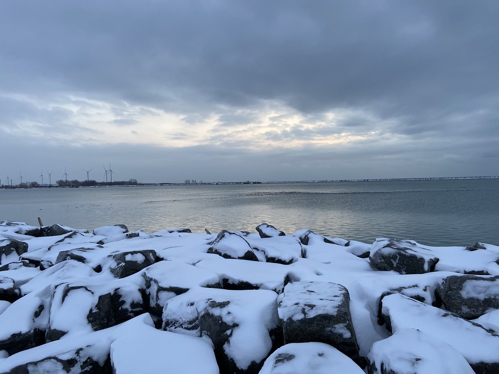 Erie Canalway Trail (Buffalo Harbor State Park to Hertel Avenue)Hiking · ~18 min drivePhoto: btwashburn, CC BY 2.0 (via Flickr)
- Erie Cattaraugus Rail TrailHiking · ~34 min drive
- Ward Hill TrailHiking · ~13 min drivePhoto: daveynin, CC BY 2.0 (via Flickr)
 Conservation Trail (FLT)Hiking · ~33 min drivePhoto: javajoe6, CC BY-SA 3.0 (via Wikimedia Commons)
- East Side Overland TrailHiking · ~47 min drive
- Eternal Flame TrailHiking · ~13 min drivePhoto: Andre Carrotflower, CC BY-SA 4.0 (via Wikimedia Commons)
- Gorge Rim TrailHiking · ~1 min drive
- Boy Scout TrailHiking · ~14 min drivePhoto: Carrotflower Productions International, CC BY-SA 2.0 (via Flickr)
- Erie Canalway Trail (Hertel Avenue to Tonawanda)Hiking · ~28 min drive
Best time to visit Orange Trail
Best months: May–October. Best months have typical highs of 55–85 °F, lows of 30 °F or warmer (32 °F where the station doesn't record snow), at most one snowy day and no more than 12 wet days.
Jan
31° / 15°
Feb
33° / 14°
Mar
41° / 21°
Apr
54° / 32°
May
67° / 44°
Jun
75° / 52°
Jul
78° / 57°
Aug
77° / 55°
Sep
71° / 49°
Oct
59° / 40°
Nov
47° / 30°
Dec
37° / 22°
Typical high / low (°F) and days with rain or snow, 1991–2020. Measured at Colden 1 N, NY, 11.4 mi away at 1,025 ft. This station doesn't record snowfall. Source: NOAA NCEI U.S. Climate Normals 1991–2020.
Map and trail data © OpenStreetMap contributors
