Orange Trail
- 2.4 mi
- loop
- 84 ft
- climb
- 148 ft
- high point
- Loop
- route
- Apr–Jun, Aug–Nov
- best months
Orange Trail is a short, easy loop in Forest Park, a city-managed park in New York, about 0.4 miles from the town of Parkside. The trail is 2.4 miles long, with a total elevation gain of 84 feet, and it is rated easy. The route is a loop, and the climb is gentle. The steepest part comes at about 1.7 miles in, with a grade of 6 percent. The trail's low point is 78 feet and its high point is 148 feet. For comfortable weather, aim for late spring or early fall. Typical averages from a nearby weather station show May highs around 72°F and September highs around 77°F, with fewer wet days in September than in spring. The Blue Trail starts just 0.1 mile away, and the Yellow Trail is about half a mile off. The Pat Dolan Trail is roughly 1.7 miles away. Paddlers can reach the New York City Water Trail about 6 miles from the park.
Local outfitters
- Pier 13 Hoboken10 mi away
Not on Roamze yet. Their page has how to reach them.
Best time to go · Apr–Jun, Aug–Nov
Best time to visit Orange Trail
Best months: April–June and August–November. Best months have typical highs of 55–85 °F, lows of 30 °F or warmer (32 °F where the station doesn't record snow), at most one snowy day and no more than 12 wet days.
Jan
40° / 29°
11 wet · 4 snow
Feb
43° / 30°
10 wet · 4 snow
Mar
50° / 36°
11 wet · 2 snow
Apr
61° / 46°
11 wet
May
72° / 56°
11 wet
Jun
81° / 66°
10 wet
Jul
86° / 72°
10 wet
Aug
84° / 71°
9 wet
Sep
77° / 64°
8 wet
Oct
66° / 53°
9 wet
Nov
55° / 43°
9 wet · 1 snow
Dec
45° / 35°
11 wet · 2 snow
Typical high / low (°F) and days with rain or snow, 1991–2020. Measured at New York Laguardia Ap, NY, 5.4 mi away at 11 ft. Source: NOAA NCEI U.S. Climate Normals 1991–2020.
Keep exploring — more trails worth the drive
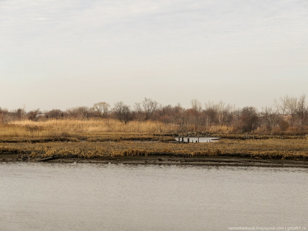 Photo: samsebeskazal, CC BY-SA 2.0 (via Flickr)
Gull Trail
~6 min drive
3.46-mile out-and-back hike in New York with 475 ft elevation gain
HIKE
Peninsula Trail
~12 min drive
Quick point-to-point trail perfect for a brief nature walk.
HIKE
Hudson Valley Greenway Trail (The Battery, Nyc to Inwood)
~15 min drive
13.55-mile point-to-point trail from The Battery to Inwood in New York.
Photo: samsebeskazal, CC BY-SA 2.0 (via Flickr)Great Blue Heron Loop
~6 min drive
1.55-mile loop trail in New York with 183 ft elevation gain.
Photo: samsebeskazal, CC BY-SA 2.0 (via Flickr)Spring Creek Blue Trail
~6 min drive
1.05-mile point-to-point trail in New York with 74 ft gain.
 Photo: timhettler, CC BY 2.0 (via Flickr)
North
~10 min drive
0.92-mile out-and-back trail in New York with 45 ft of elevation gain.
 Photo: SandyResponseNPS, CC BY 2.0 (via Flickr)
Jamaica Bay Wildlife Refuge - West Pond
~11 min drive
Easy wetland walk through Jamaica Bay's premier birdwatching refuge.
 Photo: mlcastle, CC BY-SA 2.0 (via Flickr)
Yellow Trail
~11 min drive
1.4-mile out-and-back trail in New York with 428 ft of elevation gain
 Photo: ilgar.mit, Public Domain Dedication (CC0) (via Flickr)
Midwood Loop
~12 min drive
0.46-mile point-to-point trail in New York with 74 ft gain.
 Photo: Brooklyn Museum, No restrictions (via Wikimedia Commons)
Ravine Loop
~12 min drive
0.43-mile point-to-point trail in New York with 29 ft gain.
Also worth it near here
Map and trail data © OpenStreetMap contributors
