Gull Trail
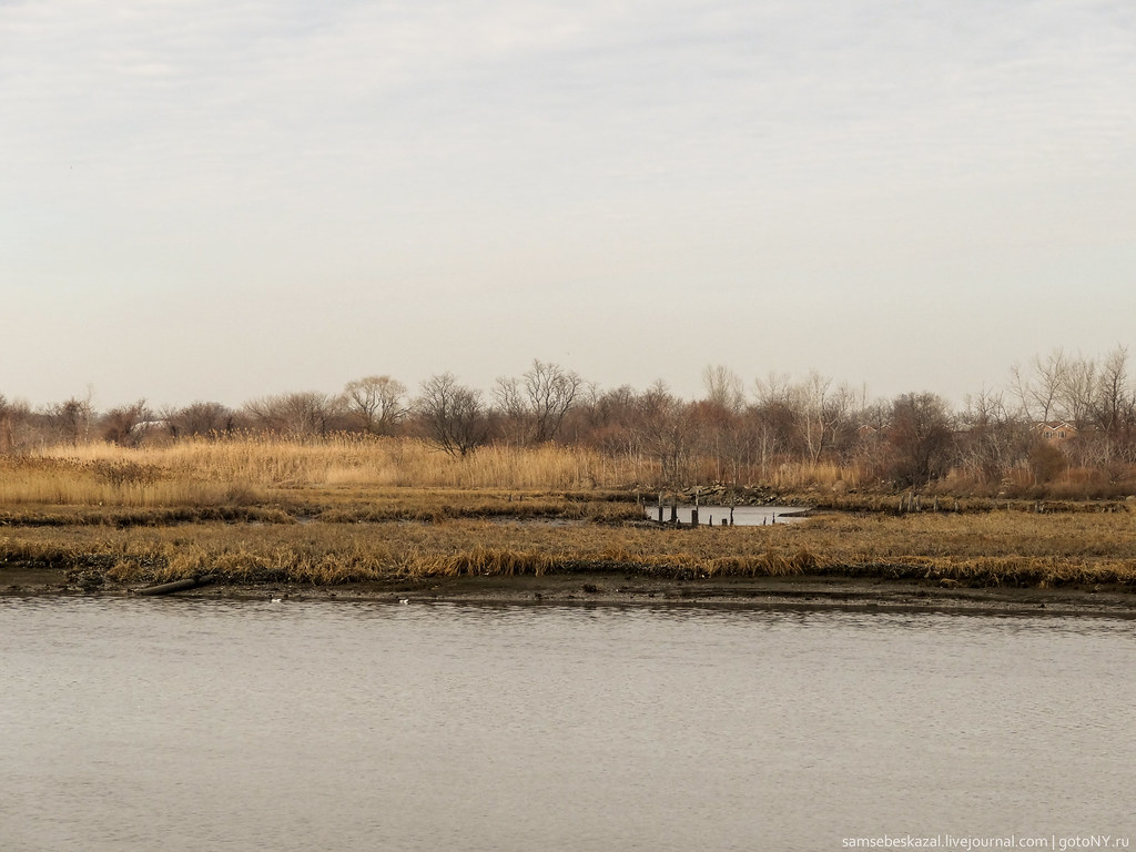 Photo: samsebeskazal, CC BY-SA 2.0 (via Flickr)
- 2.0 mi
- round trip
- 475 ft
- climb
- 126 ft
- high point
- Out and back
- route
- Apr–Oct
- best months
Is Gull Trail open right now?
Closure in the area
There's a closure order in Gateway National Recreation Area. It doesn't name Gull Trail, so check the source for the area it covers (3 listed).
Spring Creek (Queens) Closed to the Public
Park closure covering Gateway National Recreation Area · NPS · Gateway National Recreation Area
Dead Horse Bay (Brooklyn) Remains Closed to the Public
Park closure covering Gateway National Recreation Area · NPS · Gateway National Recreation Area
Jacob Riis Park Access Restrictions
Park closure covering Gateway National Recreation Area · NPS · Gateway National Recreation Area
As of · Source: NPS · Gateway National Recreation Area. Agencies don't list every closure — check before you go.
Gull Trail is a 2-mile easy hike in Shirley Chisholm State Park, part of Gateway National Recreation Area in New York. The land is managed by State Park and Recreation, and the trail is an out-and-back that covers about 4 miles round trip with a total elevation gain of 335 feet. The route is gentle overall, with the steepest stretch at about 0.45 miles in, where the grade reaches 15%. The high point is 126 feet, and the low point is 10 feet. The trail is short and low, so it works well as a quick outing. For comfortable weather, aim for late spring or early fall. Typical averages from a nearby weather station show May highs around 68°F and September highs around 76°F, with July the warmest month at about 84°F. Several other trails sit close by. Great Blue Heron Loop is just 0.1 mile away, Falcon Trail is about half a mile off, and Oystercatcher Trail is roughly 0.9 mile away. For time on the water, Camp Gateway- Brooklyn Ny offers saltwater fishing about 4 miles from the trail.
Local outfitters
- Pier 13 Hoboken11 mi away
Not on Roamze yet. Their page has how to reach them.
- Great Blue Heron LoopHikingPhoto: samsebeskazal, CC BY-SA 2.0 (via Flickr)0.1 mi
- Falcon TrailHiking0.5 mi
- Oystercatcher TrailHiking0.9 mi
- Camp Gateway- Brooklyn NySaltwater fishing4.2 mi
- New York City Water TrailCanoeing9.5 mi
- Tooth RockRock climbing9.9 mi
 Cat RockRock climbingPhoto: MartinThoma, CC0 (via Wikimedia Commons)9.9 mi
- Chess RockRock climbing10 mi
Source: Roamze catalog (indexable pages within 10 miles, PostGIS distance)
- Great Blue Heron LoopHiking · Next doorPhoto: samsebeskazal, CC BY-SA 2.0 (via Flickr)
- Peninsula TrailHiking · ~10 min drive
- Hudson Valley Greenway Trail (The Battery, Nyc to Inwood)Hiking · ~15 min drive
- Spring Creek Blue TrailHiking · Next doorPhoto: samsebeskazal, CC BY-SA 2.0 (via Flickr)
- BoardwalkHiking · ~12 min drive
 NorthHiking · ~5 min drivePhoto: timhettler, CC BY 2.0 (via Flickr)
 Jamaica Bay Wildlife Refuge - West PondHiking · ~5 min drivePhoto: SandyResponseNPS, CC BY 2.0 (via Flickr)
 Marine Park Salt Marsh Nature TrailHiking · ~8 min drivePhoto: edenpictures, CC BY 2.0 (via Flickr)
 Red TrailHiking · ~9 min drivePhoto: edenpictures, CC BY 2.0 (via Flickr)
 Midwood LoopHiking · ~9 min drivePhoto: ilgar.mit, Public Domain Dedication (CC0) (via Flickr)
Best time to visit Gull Trail
Best months: April–October. Best months have typical highs of 55–85 °F, lows of 30 °F or warmer (32 °F where the station doesn't record snow), at most one snowy day and no more than 12 wet days.
Jan
39° / 26°
11 wet · 4 snow
Feb
42° / 27°
10 wet · 4 snow
Mar
49° / 34°
11 wet · 2 snow
Apr
59° / 43°
11 wet
May
68° / 52°
12 wet
Jun
78° / 62°
10 wet
Jul
84° / 69°
10 wet
Aug
82° / 68°
9 wet
Sep
76° / 61°
8 wet
Oct
65° / 50°
9 wet
Nov
54° / 40°
9 wet · 1 snow
Dec
45° / 32°
11 wet · 2 snow
Typical high / low (°F) and days with rain or snow, 1991–2020. Measured at New York Jfk Intl Ap, NY, 5.3 mi away at 11 ft. Source: NOAA NCEI U.S. Climate Normals 1991–2020.
Map and trail data © OpenStreetMap contributors
