Jamaica Bay Wildlife Refuge - West Pond
 Photo: SandyResponseNPS, CC BY 2.0 (via Flickr)
- 1.9 mi
- round trip
- 80 ft
- climb
- 23 ft
- high point
- Out and back
- route
- Apr–Oct
- best months
Is Jamaica Bay Wildlife Refuge - West Pond open right now?
Closure in the area
There's a closure order in Gateway National Recreation Area. It doesn't name Jamaica Bay Wildlife Refuge - West Pond, so check the source for the area it covers (3 listed).
Spring Creek (Queens) Closed to the Public
Park closure covering Gateway National Recreation Area · NPS · Gateway National Recreation Area
Dead Horse Bay (Brooklyn) Remains Closed to the Public
Park closure covering Gateway National Recreation Area · NPS · Gateway National Recreation Area
Jacob Riis Park Access Restrictions
Park closure covering Gateway National Recreation Area · NPS · Gateway National Recreation Area
As of · Source: NPS · Gateway National Recreation Area. Agencies don't list every closure — check before you go.
Jamaica Bay Wildlife Refuge - West Pond is an easy, low-lying walk in the Gateway National Recreation Area in New York, managed by the National Park Service. It is an out-and-back route of about 3.8 miles with no elevation gain, so it is a gentle outing rather than a climb. The trail stays within a narrow range of elevation, with a low point at about 4 feet and a high of about 23 feet, and the steepest stretch comes around the 1.1-mile mark at about 3%. Late spring through early fall is the most comfortable time to go. Typical averages from a nearby weather station at JFK run from highs of about 68°F in May to about 76°F in September, with July the warmest month at about 84°F. Snow is common from December through February. Several other trails lie within a few miles, including the Peregrine Trail at about 2.8 miles, the Red Tail Trail and Falcon Trail at about 3 miles, and the Great Blue Heron Loop at about 3.1 miles.
Local outfitters
- Pier 13 Hoboken14 mi away
Not on Roamze yet. Their page has how to reach them.
- Peregrine TrailHiking2.8 mi
- Red Tail TrailHiking3 mi
- Falcon TrailHiking3 mi
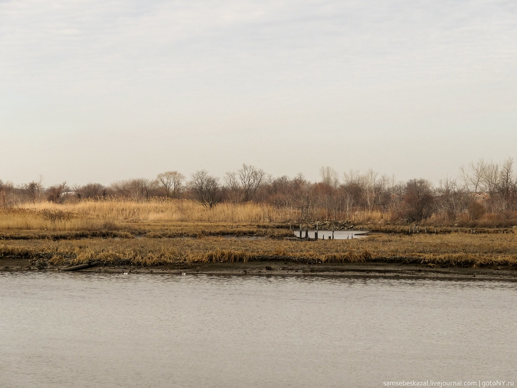 Great Blue Heron LoopHikingPhoto: samsebeskazal, CC BY-SA 2.0 (via Flickr)3.1 mi
- Gull TrailHikingPhoto: samsebeskazal, CC BY-SA 2.0 (via Flickr)3.1 mi
- Oystercatcher TrailHiking3.2 mi
- Fresh Creek Teal TrailHiking3.3 mi
- Camp Gateway- Brooklyn NySaltwater fishing3.4 mi
Source: Roamze catalog (indexable pages within 10 miles, PostGIS distance)
 NorthHiking · Next doorPhoto: timhettler, CC BY 2.0 (via Flickr)
- BoardwalkHiking · ~7 min drive
- Hudson Valley Greenway Trail (The Battery, Nyc to Inwood)Hiking · ~20 min drive
- Great Blue Heron LoopHiking · ~5 min drivePhoto: samsebeskazal, CC BY-SA 2.0 (via Flickr)
- Peninsula TrailHiking · ~14 min drive
- Gull TrailHiking · ~5 min drivePhoto: samsebeskazal, CC BY-SA 2.0 (via Flickr)
- Spring Creek Blue TrailHiking · ~6 min drivePhoto: samsebeskazal, CC BY-SA 2.0 (via Flickr)
 Red TrailHiking · ~9 min drivePhoto: edenpictures, CC BY 2.0 (via Flickr)
 Marine Park Salt Marsh Nature TrailHiking · ~9 min drivePhoto: edenpictures, CC BY 2.0 (via Flickr)
 Jamaica WalkHiking · ~11 min drivePhoto: Boss Tweed, CC BY 2.0 (via Flickr)
Best time to visit Jamaica Bay Wildlife Refuge - West Pond
Best months: April–October. Best months have typical highs of 55–85 °F, lows of 30 °F or warmer (32 °F where the station doesn't record snow), at most one snowy day and no more than 12 wet days.
Jan
39° / 26°
11 wet · 4 snow
Feb
42° / 27°
10 wet · 4 snow
Mar
49° / 34°
11 wet · 2 snow
Apr
59° / 43°
11 wet
May
68° / 52°
12 wet
Jun
78° / 62°
10 wet
Jul
84° / 69°
10 wet
Aug
82° / 68°
9 wet
Sep
76° / 61°
8 wet
Oct
65° / 50°
9 wet
Nov
54° / 40°
9 wet · 1 snow
Dec
45° / 32°
11 wet · 2 snow
Typical high / low (°F) and days with rain or snow, 1991–2020. Measured at New York Jfk Intl Ap, NY, 3.7 mi away at 11 ft. Source: NOAA NCEI U.S. Climate Normals 1991–2020.
Map and trail data © OpenStreetMap contributors
